 Location:
 Length:
 Surface:
 Start / End:
 Suitable for:
The Parafield railside trail is a pleasant entree to Adelaide's extensive trail network.

- A pleasant excursion through a linear park next to the Gawler Line
- It’s a nice way to get to the southern suburbs of Salisbury
- It is mostly flat and ideal for children and novice riders
- Parafield Airport lies to the east of the trail
- At its northern end, quiet streets lead to Salisbury to join the Penfield Railside Trail and Little Para River Trail
Nearby Attractions
- Mawson Lakes for shopping, cafes, linear parks
- Classic Jets Fighter Museum at Parafield Airport
- Dry Creek Trail at Mawson Lakes and other trails in Salisbury
Last updated: 29 April 2025
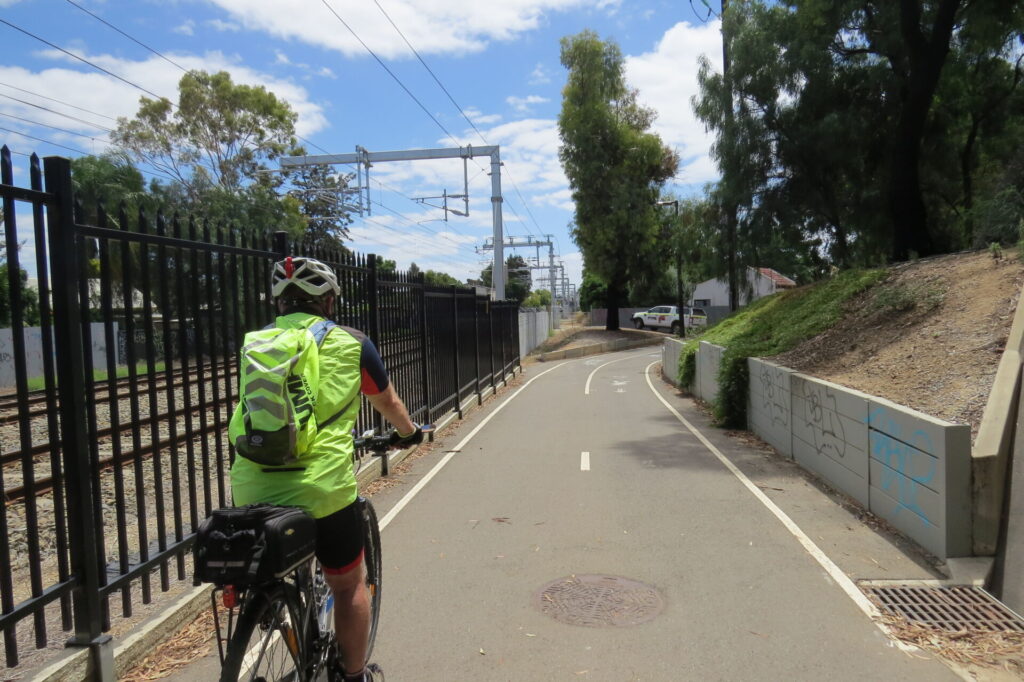
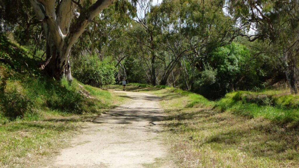
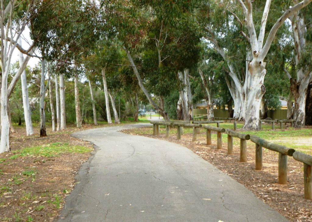
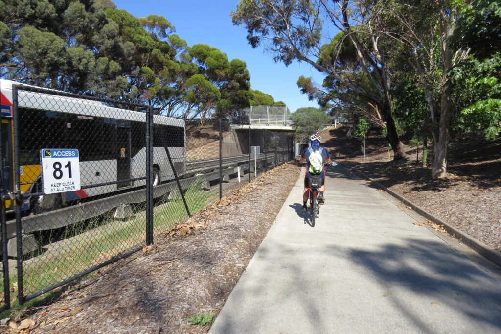
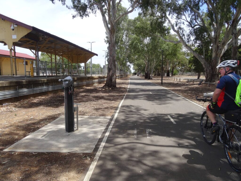
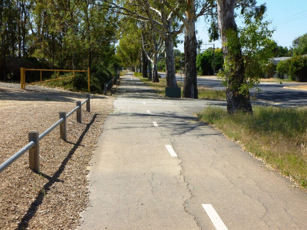
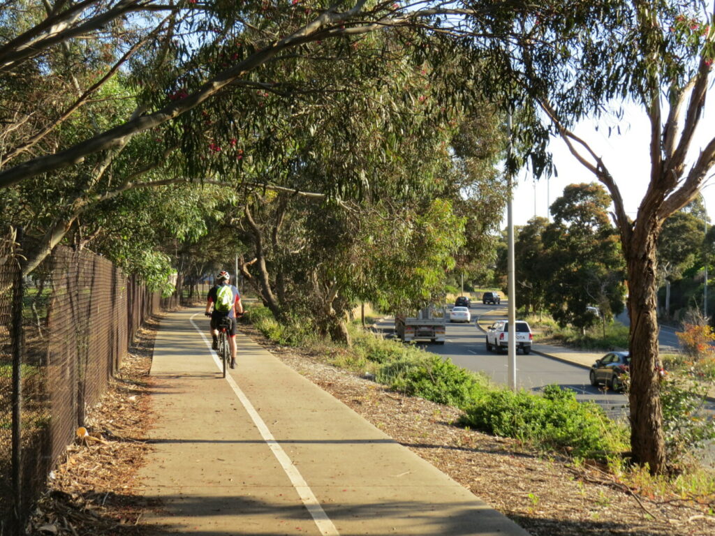
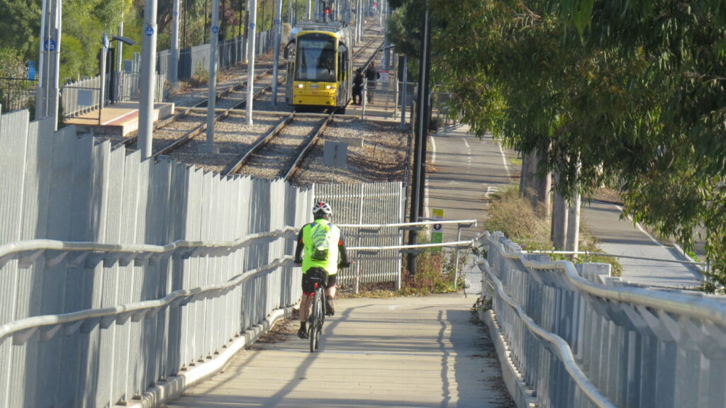
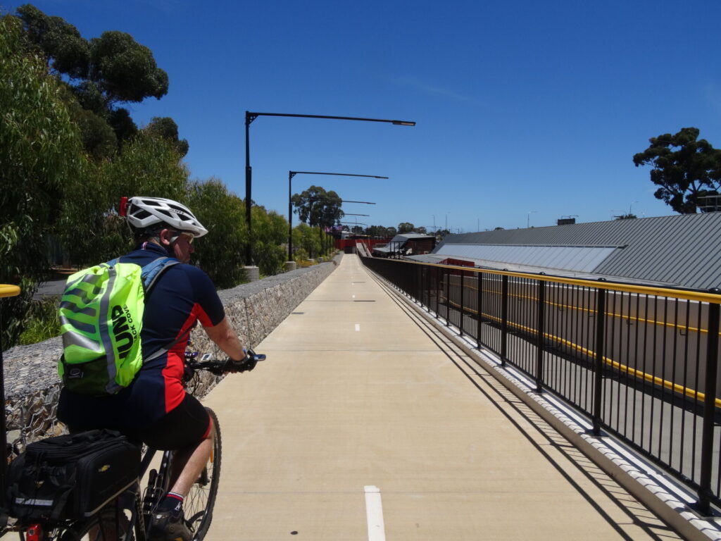
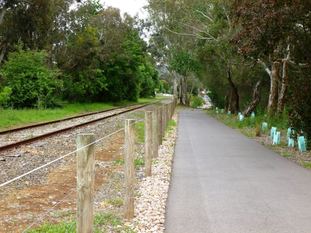
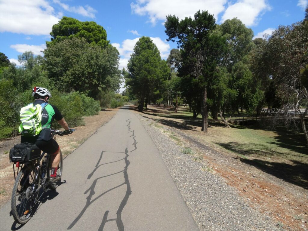
The Parafield Rail Trail has a wide, sealed surface and is well sheltered by trees and shrubs. The start is at Mawson Lakes Interchange and the end at Parafield Railway Station. The trail is separated from the Gawler Line by a watercourse. Greenfields and Parafield Gardens are the only intermediate stations, with Greenfields accessible from the trail via a narrow footbridge.
Section Guides
Mawson Lakes Interchange to Parafield Station (3.0 km)
- From the station interchange, proceed north under the road overpass to find the trail starting point. Cross the footbridge over a creek and turn left onto the trail. After 300 m, a narrow footbridge on the left gives access to a path leading to Greenfields Station.
- The trail has good shelter from trees and shrubs on both sides. Parafield Airport is to the right and there are often aircraft around.
- The rail trail ends at Parafield Station on Kings Rd where a small bridge links it to the station carpark
CONNECTING PATHS
Return route (3.0 km): At Parafield Station, cross the railway line and turn left onto a shared path on the opposite side. Follow the Gawler Line south on a combination of shared paths and quiet streets back to Mawson Interchange. This route could eventually form part of the Gawler Greenway railside path.
To Penfield Rail Trail (3.2 km): Use back streets to get to Salisbury Station further along the Gawler Line and the start of the Penfield trail.
To Parafield Airport (0.5 km): From Parafield Station, continue east on the shared path next to Kings Rd. The path ends after 500 m at Dakota Dr but quiet roads can be followed from there to the Classic Jets Fighter Museum on Anderson Dr.
To Dry Creek Trail (0.5 km): You can join this trail immediately south of Mawson Interchange.
To Stockade Rail Trail: Use the Dry Creek Trail.
Levels to City Bikeway (12.7 km): Extends from Mawson Lakes to the city but the Mawson Lakes to Pooraka section is on busy roads and not recommended (use the Dry Creek Trail instead to get to Pooraka).
![Near Mawson Interchange with trail bridge on right and city train on left [2024]](jpg/s18-050-008-parafield-rt-mawson-lakes-start-train-background-nov-23-300x169.jpg)
Near Mawson Interchange with trail bridge on right and city train on left [2024]
![The trail from Mawson Interchange is ideal for joggers and riders [2025]](jpg/s18-050-the-trail-from-mawson-lakes-interchange-station-is-ideal-for-joggers-and-riders-2025-img_5765-300x225.jpg)
The trail from Mawson Interchange is ideal for joggers and riders [2025]
![Trail from Mawson Lakes, with the Greenfields Station on the left [2024]](jpg/s18-050-009-parafield-rt-greenfields-station-nov-23-300x225.jpg)
Trail from Mawson Lakes, with the Greenfields Station on the left [2024]
![The bridge to Greenfields Station (left) is too narrow for riding [2025]](jpg/s18-075-the-access-bridge-to-greenfields-station-is-rather-narrow-2025-img_5770-300x225.jpg)
The bridge to Greenfields Station (left) is too narrow for riding [2025]
![Vegetation on sides of trail offers cyclists protection from elements [2024]](jpg/s18-050-015-parafield-rt-mid-way-cyclists-nov-23-300x169.jpg)
Vegetation on sides of trail offers cyclists protection from elements [2024]
![The northern end connects to Kings Rd shared path via this bridge [2024]](jpg/s18-100-016-parafield-rt-parafield-entrance-bridge-nov-23-300x225.jpg)
The northern end connects to Kings Rd shared path via this bridge [2024]
Do you know of a bike hire or transportation service on this rail trail that should appear here? If so, let us know at admin@railtrails.org.au.
Information and Links
The trail is managed by the City of Salisbury. To report any issues or problems:
Ph: 08 8406 8222 or ci**@**************ov.au
For further information go to:
Adelaide Metro train timetables here
Classic Jets Fighter Museum here
Penfield Rail Trail here
Stockade Rail Trail here
Dry Creek Linear Park information here
Dry Creek Linear Park at Mawson Lakes here
Contact Rail Trails Australia
To contact us about this rail trail, email sa@railtrails.org.au
Background Information
Traditional Owners
We acknowledge the Kaurna people, the traditional custodians of the land and waterways on which the rail trail is constructed.
Development and Future of the Rail Trail
The Parafield railside trail has been developed over many years and has an excellent sealed surface of a decent width. A 500 m path is being planned which would head northeast between the Gawler Line and Thomas More College from Kings Rd (A8) to Alba Crt (see map), similar to the one next to Salisbury High School on the Penfield railside trail further north. When completed, this will provide a safe and more direct link to Salisbury and form part of the Gawler Greenway.
Rail Line History
The Adelaide-Smithfield section of the Gawler Line was opened in 1857, making it one of South Australia’s oldest. In recent years, it has been electrified and all trains are now modern electric railcars.
Nearby Trails
Gawler Greenway railside trail
Adelaide CBD
14 km


Stockade Rail Trail
11 km north of Adelaide CBD
2.6 km
Penfield railside trail
20 km north of Adelaide CBD
7 km
O-Bahn Bikeway trail
Adelaide CBD
16 km

Outer Harbor Greenway railside trail
Adelaide CBD
23 km
Smithfield Magazine Rail Trail
33 km north of Adelaide CBD
3.5 km
Semaphore Rail Trail
16 km north-west of Adelaide CBD
4.2 km
Westside Bikeway rail trail
2 km west of Adelaide CBD
9 km
Mike Turtur Bikeway railside trail
Adelaide CBD
9 km
Coast Park Path Rail Trail
12km north-west of Adelaide CBD
25 km
Marino Rocks Greenway rail trail
Adelaide CBD
16 km
Amy Gillett Bikeway rail trail
Adelaide Hills, 49 km east of CBD
23 km

Barossa Rail Trail
Barossa Valley, 50 km north-east of Adelaide
43 km
Mount Barker Rail Trail
Adelaide Hills, 33km south-east of CBD
5 km
Coast to Vines Rail Trail
20 km south of Adelaide CBD
37 km
Kapunda Rail Trail
78 km north of Adelaide
1 km
Nurragi Conservation Reserve rail trail
Fleurieu Peninsula, 70 km south-east of Adelaide
13 km
Eudunda Rail Trail
112 km north of Adelaide
1 km
Encounter Bikeway railside trail
Fleurieu Peninsula, 85 km south of Adelaide
28 km
Riesling and Rattler Trails
Clare Valley, 130 km north of Adelaide
53 km
Shamus Liptrot Rail Trail
Adelaide Plains, 100 km north of Adelaide
11 km

Copper Rail Trail
Adelaide Plains, 100 km north of Adelaide
39 km
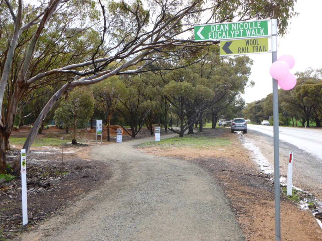
Wool Rail Trail
130 kms north of Adealide
2.2 km
Nearby Trails
Gawler Greenway railside trail
Adelaide CBD
14 km
Stockade Rail Trail
11 km north of Adelaide CBD
2.6 km
Penfield railside trail
20 km north of Adelaide CBD
7 km
O-Bahn Bikeway trail
Adelaide CBD
16 km
Outer Harbor Greenway railside trail
Adelaide CBD
23 km
Smithfield Magazine Rail Trail
33 km north of Adelaide CBD
3.5 km
Semaphore Rail Trail
16 km north-west of Adelaide CBD
4.2 km
Westside Bikeway rail trail
2 km west of Adelaide CBD
9 km
Mike Turtur Bikeway railside trail
Adelaide CBD
9 km
Coast Park Path Rail Trail
12km north-west of Adelaide CBD
25 km
Marino Rocks Greenway rail trail
Adelaide CBD
16 km
Amy Gillett Bikeway rail trail
Adelaide Hills, 49 km east of CBD
23 km
Barossa Rail Trail
Barossa Valley, 50 km north-east of Adelaide
43 km
Mount Barker Rail Trail
Adelaide Hills, 33km south-east of CBD
5 km
Coast to Vines Rail Trail
20 km south of Adelaide CBD
37 km
Kapunda Rail Trail
78 km north of Adelaide
1 km
Nurragi Conservation Reserve rail trail
Fleurieu Peninsula, 70 km south-east of Adelaide
13 km
Eudunda Rail Trail
112 km north of Adelaide
1 km
Encounter Bikeway railside trail
Fleurieu Peninsula, 85 km south of Adelaide
28 km
Riesling and Rattler Trails
Clare Valley, 130 km north of Adelaide
53 km
Shamus Liptrot Rail Trail
Adelaide Plains, 100 km north of Adelaide
11 km
Copper Rail Trail
Adelaide Plains, 100 km north of Adelaide
39 km
Wool Rail Trail
130 kms north of Adealide
2.2 km
One review of “Parafield railside trail”
22/70 I did the Fields of dreams in a day, Parafield, Penfield and Smithfield. The first runs next to the Gawler Line from Mawson Lakes station to Parafield Station and there are two more in between in the space of 3km. Be quicker to ride. You can go back on the other side of the tracks to make a circuit of it and Dry Creek Trail looks good.