 Location:
 Length:
 Surface:
 Start / End:
 Suitable for:
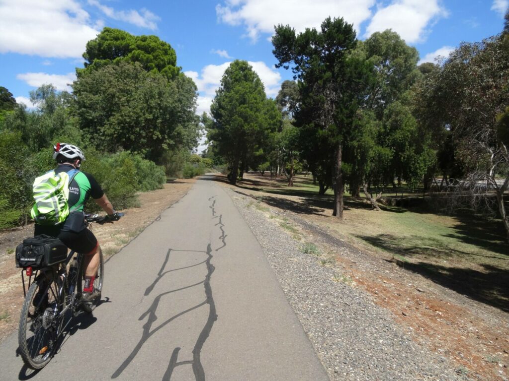
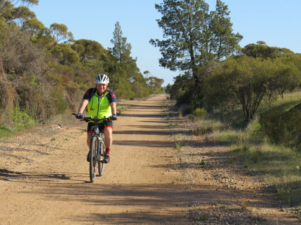
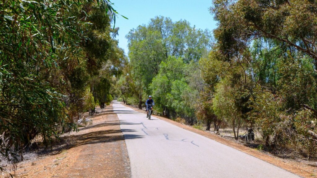
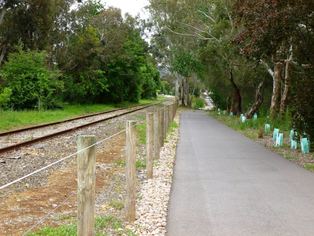
- The trail is a pleasant shared path along the old railway reserve. It has easy grades and is ideal for children and novice riders.
- Centenary Gardens features an old weigh bridge complete with gangers’ trolley, railway signal, BBQ and picnic facilities, playground and toilets.
Nearby Attractions
- Eudunda Railway Station
- Silo art
- Rural town scenery
- Lavender Federation Walking Trail
- Murray to Clare Lavender Cycling Trail (M2C)
Last updated: 9 July 2025
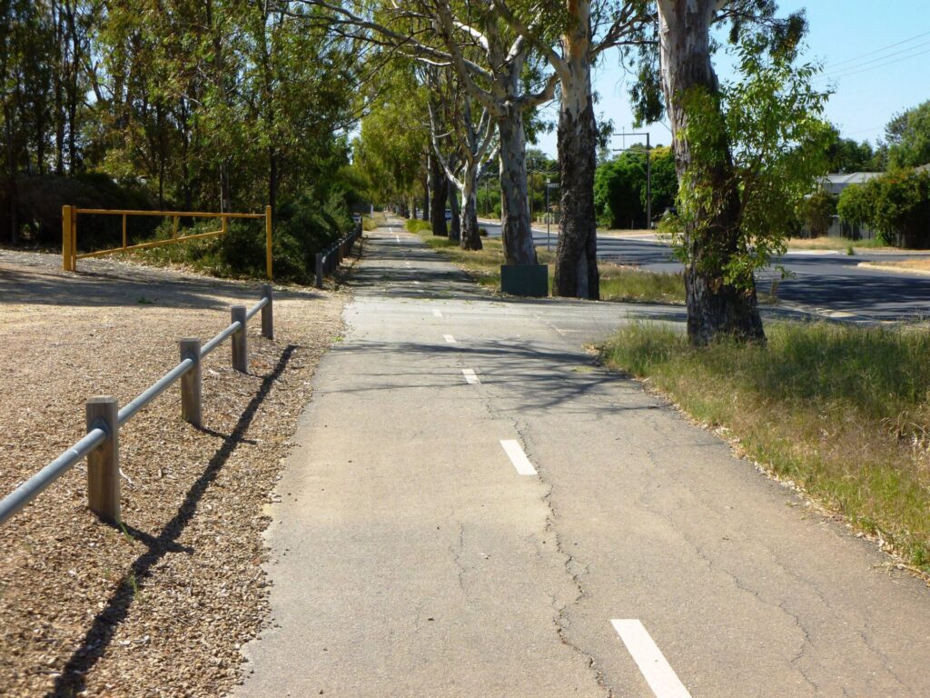
The Eudunda Rail Trail features a fine gravel surface of good width. It is South Australia’s shortest rail trail but is a handy off-road link for cyclists, walkers and runners. Two of SA’s long-distance tracks, the Lavender Federation Walking Trail and the M2C Lavender Cycling Trail, pass along this trail.
There are coffee shops, bakery and supermarket in the nearby main street, and toilets and picnic facilities at Centenary Gardens.
Section Guides
Worlds End Hwy to Thiele Hwy (0.6 km)
- The trail starts opposite the Centenary Gardens on Worlds End Hwy and runs through the station yard alongside the old platform. The stone station building is intact but in poor condition.
- East of the station, the trail passes between a large iron elevated tank and a water standpipe. Grain silos opposite the station have been decorated with ‘silo-art’.
- Head east across South Tce and continue behind houses until the trail leaves the railway embankment and ends at a pedestrian crossing on Thiele Hwy.
CONNECTING PATHS
Centenary Gardens: Opposite the trailhead on Worlds End Hwy, a paved footpath leads into Centenary Gardens past a rail weigh bridge with a gangers’ trolley on display. Adjacent is a children’s playground and free BBQ facilities with public toilets beyond that. A bronze statue pays tribute to author Colin Thiele who grew up in this area.
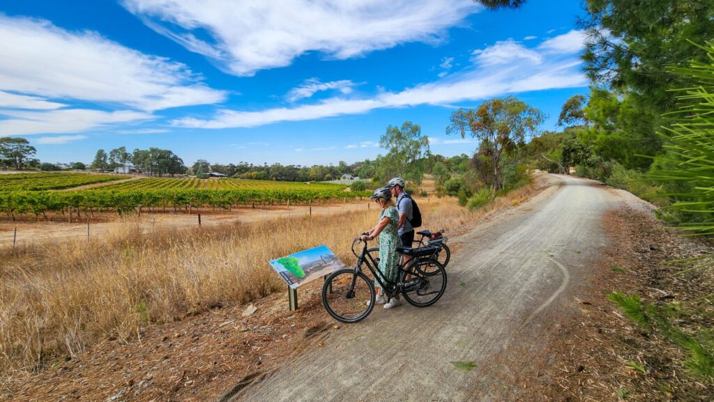
Lavender Federation Walking Trail: The Lavender Trail extends south to Murray Bridge and northwest to Clare and is well signposted.
M2C Lavender Cycling Trail: The M2C Lavender Cycling Trail extends south to Murray Bridge and northwest to Clare using mostly unsealed roads and tracks. It is not signposted but maps and directions can be downloaded.
![Silo art adjacent to the trail [2021]](jpg/013-eudunda-rt-silo-art-2-aug-21-222x300.jpg)
Silo art adjacent to the trail [2021]
![Water tank at Eudunda Station [2021]](jpg/015-eudunda-rt-water-tank-aug-21-300x225.jpg)
Water tank at Eudunda Station [2021]
![Signal tower next to the playground [2021]](jpg/019-eudunda-rt-signal-and-playground-jul-21-300x225.jpg)
Signal tower next to the playground [2021]
![Weighbridge and trolley [2021]](jpg/020-eudunda-rt-weighbridge-and-trolley-jul-21-300x225.jpg)
Weighbridge and trolley [2021]
![Eudunda Railway Station [2021]](jpg/002-eudunda-rt-station-platform-and-tank-jul-21-e1630202746318-300x83.jpg)
Eudunda Railway Station [2021]
![Trail heads toward Thiele Hwy [2021]](jpg/007-eudunda-rt-behind-houses-jul-21-300x225.jpg)
Trail heads toward Thiele Hwy [2021]
Do you know of a bike hire or transportation service on this rail trail that should appear here? If so, let us know at admin@railtrails.org.au.
Information and Links
The trail is managed by the Regional Council of Goyder. To report problems contact co*****@***********ov.au or phone (08) 8892 0100 .
For further information go to:
Contact Rail Trails Australia
To contact us about this rail trail, email sa@railtrails.org.au
Background Information
Traditional Owners
We acknowledge the Ngadjuri people, the traditional custodians of the land and waterways on which the rail trail is built.
Development and Future of the Rail Trail
The trail takes advantage of the old railway reserve to provide an off-road link between the centre of town and the showgrounds/oval area to the east.
There have been proposals to extend the rail trail north to Hampden but there are currently no extensions planned.
Rail Line History
The first section of the line from Gawler to Kapunda was opened in 1860. It was extended via Eudunda to Morgan in 1878 to provide a more efficient freight and passenger connection between the Murray paddle steamers and both the city of Adelaide and Port Adelaide for ocean transport.
The Eudunda to Morgan section closed in 1969 and the line was removed. The Kapunda to Eudunda section was closed in 1994 and was pulled up the following year.
Nearby Trails
Kapunda Rail Trail
78 km north of Adelaide
1 km


Riesling and Rattler Trails
Clare Valley, 130 km north of Adelaide
53 km
Barossa Rail Trail
Barossa Valley, 50 km north-east of Adelaide
43 km
Shamus Liptrot Rail Trail
Adelaide Plains, 100 km north of Adelaide
11 km


Copper Rail Trail
Adelaide Plains, 100 km north of Adelaide
39 km
Smithfield Magazine Rail Trail
33 km north of Adelaide CBD
3.5 km
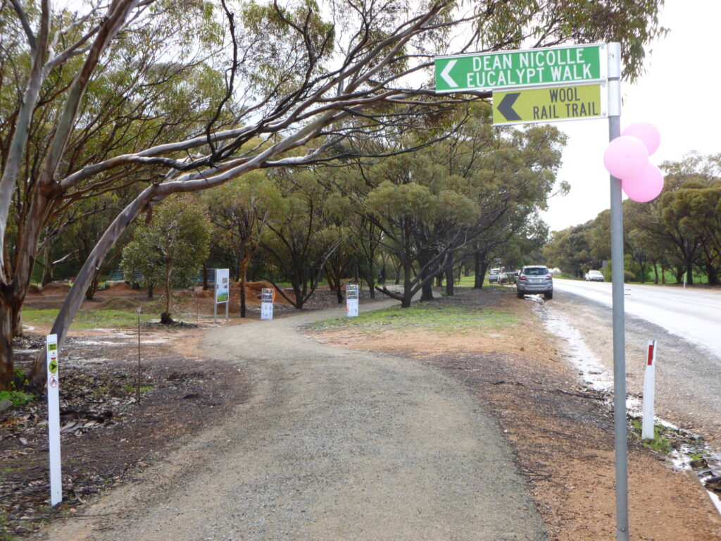
Wool Rail Trail
130 kms north of Adealide
2.2 km
Penfield railside trail
20 km north of Adelaide CBD
7 km
Parafield railside trail
15 km north of Adelaide CBD
3 km
Gawler Greenway railside trail
Adelaide CBD
14 km
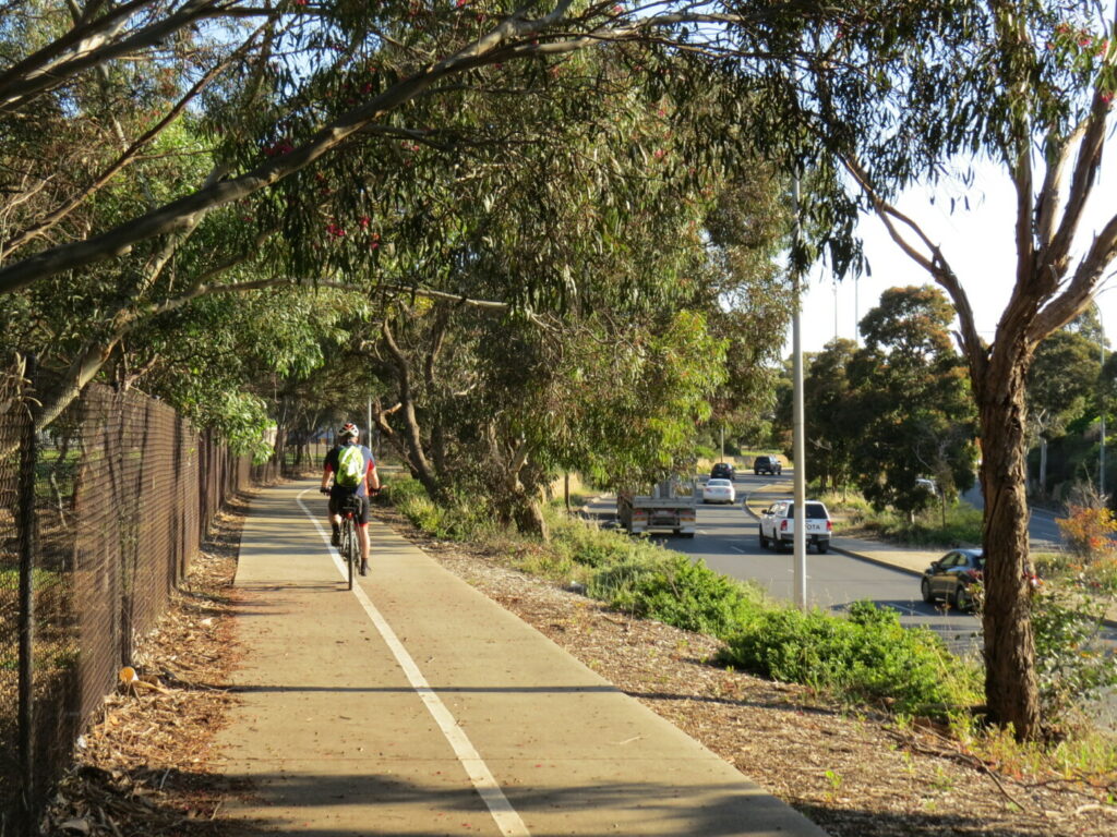
Amy Gillett Bikeway rail trail
Adelaide Hills, 49 km east of CBD
23 km
Stockade Rail Trail
11 km north of Adelaide CBD
2.6 km
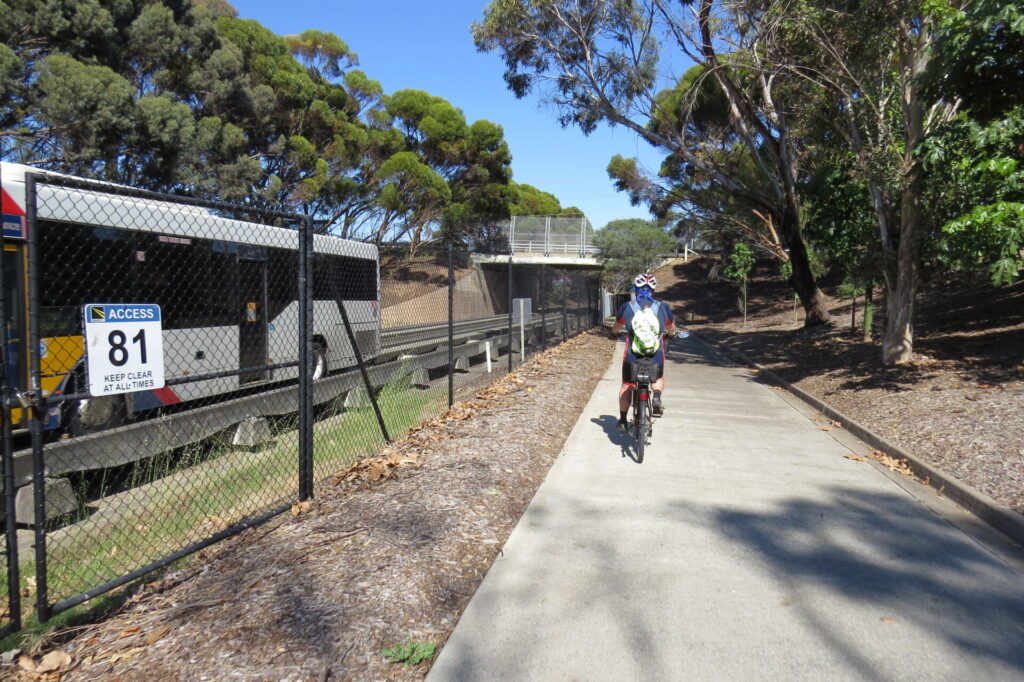
O-Bahn Bikeway trail
Adelaide CBD
16 km
Outer Harbor Greenway railside trail
Adelaide CBD
23 km
Semaphore Rail Trail
16 km north-west of Adelaide CBD
4.2 km
Westside Bikeway rail trail
2 km west of Adelaide CBD
9 km
Mount Barker Rail Trail
Adelaide Hills, 33km south-east of CBD
5 km
Mike Turtur Bikeway railside trail
Adelaide CBD
9 km
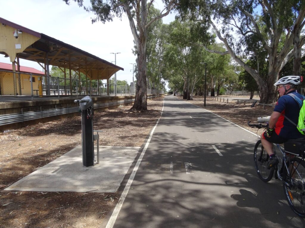
Coast Park Path Rail Trail
12km north-west of Adelaide CBD
25 km
Marino Rocks Greenway rail trail
Adelaide CBD
16 km
Nearby Trails
Kapunda Rail Trail
78 km north of Adelaide
1 km
Riesling and Rattler Trails
Clare Valley, 130 km north of Adelaide
53 km
Barossa Rail Trail
Barossa Valley, 50 km north-east of Adelaide
43 km
Shamus Liptrot Rail Trail
Adelaide Plains, 100 km north of Adelaide
11 km
Copper Rail Trail
Adelaide Plains, 100 km north of Adelaide
39 km
Smithfield Magazine Rail Trail
33 km north of Adelaide CBD
3.5 km
Wool Rail Trail
130 kms north of Adealide
2.2 km
Penfield railside trail
20 km north of Adelaide CBD
7 km
Parafield railside trail
15 km north of Adelaide CBD
3 km
Gawler Greenway railside trail
Adelaide CBD
14 km
Amy Gillett Bikeway rail trail
Adelaide Hills, 49 km east of CBD
23 km
Stockade Rail Trail
11 km north of Adelaide CBD
2.6 km
O-Bahn Bikeway trail
Adelaide CBD
16 km
Outer Harbor Greenway railside trail
Adelaide CBD
23 km
Semaphore Rail Trail
16 km north-west of Adelaide CBD
4.2 km
Westside Bikeway rail trail
2 km west of Adelaide CBD
9 km
Mount Barker Rail Trail
Adelaide Hills, 33km south-east of CBD
5 km
Mike Turtur Bikeway railside trail
Adelaide CBD
9 km
Coast Park Path Rail Trail
12km north-west of Adelaide CBD
25 km
Marino Rocks Greenway rail trail
Adelaide CBD
16 km