 Location:
 Length:
 Surface:
 Start / End:
 Suitable for:
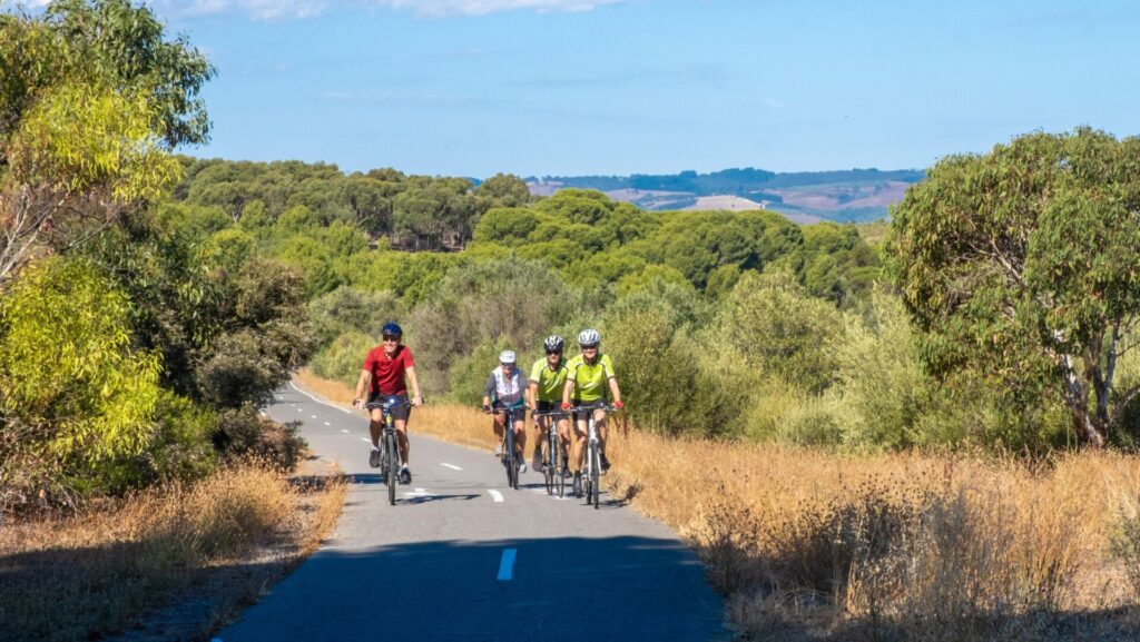
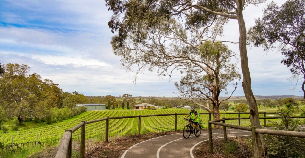
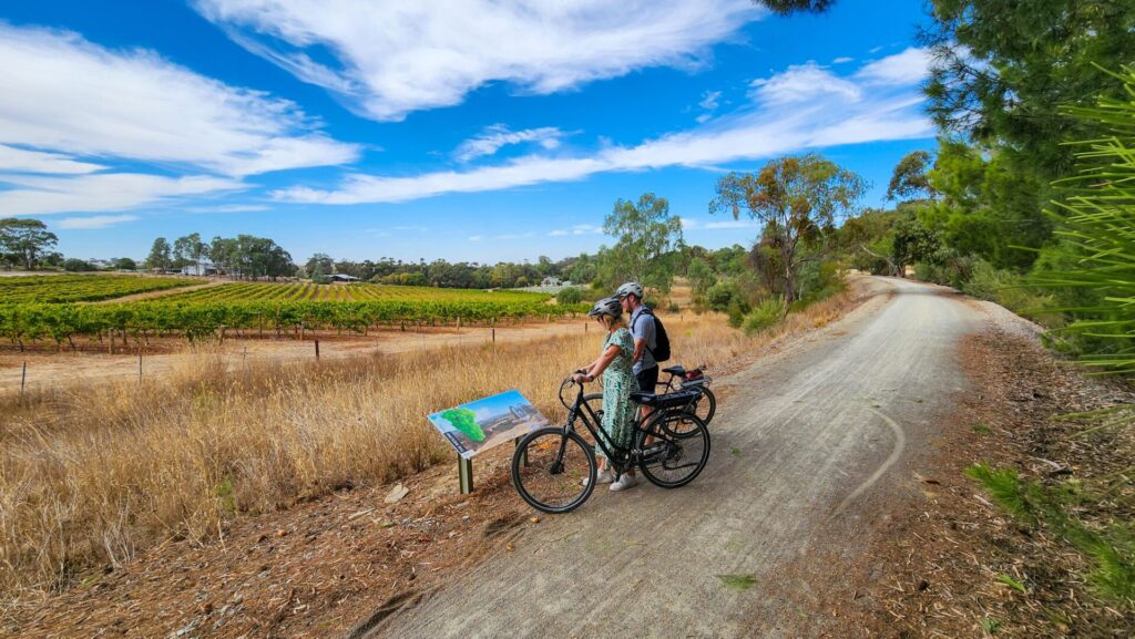
One of Adelaide's favourite railside trails, the Marino Rocks Greenway gives you the chance of a train ride back with Adelaide Metro. Try for a tailwind ride, using the train to do the hard leg.
- This shared use path provides a link between the Adelaide CBD and Coast to Vines Rail Trail
- It’s a safe railside trail suitable for all ages
- The trail connects with many of the city’s interesting shared paths
Nearby Attractions
- Glorious figure-of-eight Adelaide Park Lands
- Coast to Vines Rail Trail at Marino Rocks
- Adelaide Cricket Ground
- Army Museum of SA
Last updated: 18 December 2025
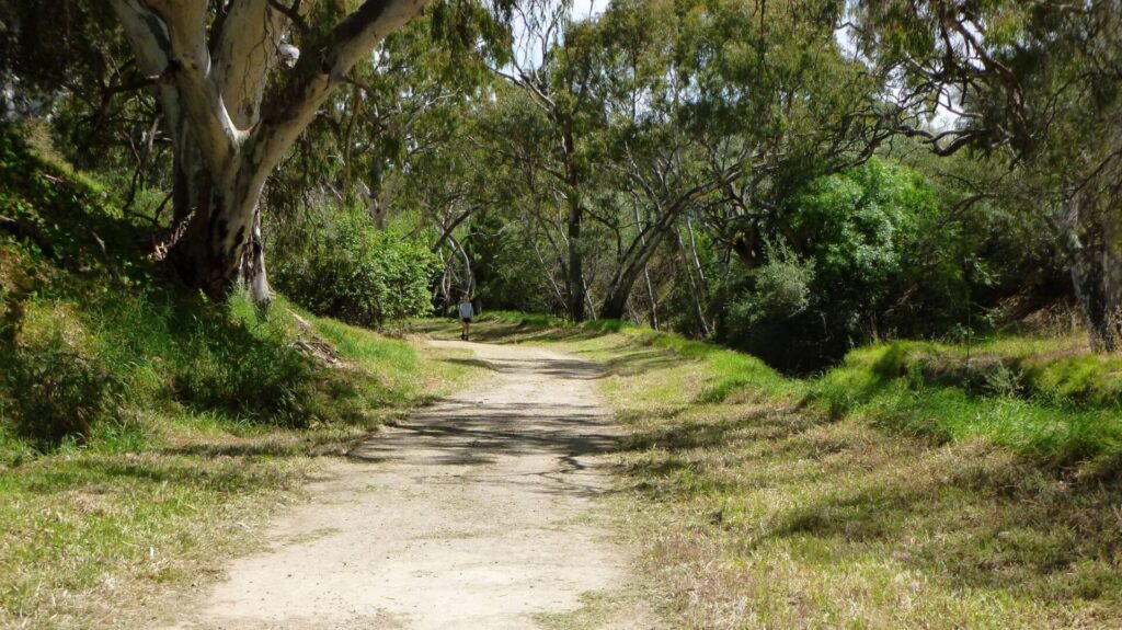
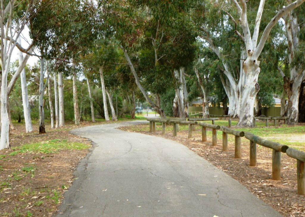
The Marino Rocks Greenway is a railside trail which follows the Adelaide to Seaford suburban line using a combination of on-road and separated shared use paths. As the line is busy, crossing main roads is often made easier when traffic is stopped for trains. It is a commuter trail between Marino Rocks and Adelaide City as well as being a recreation trail on weekends and during holidays.
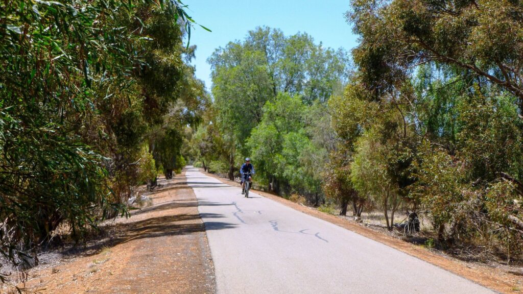
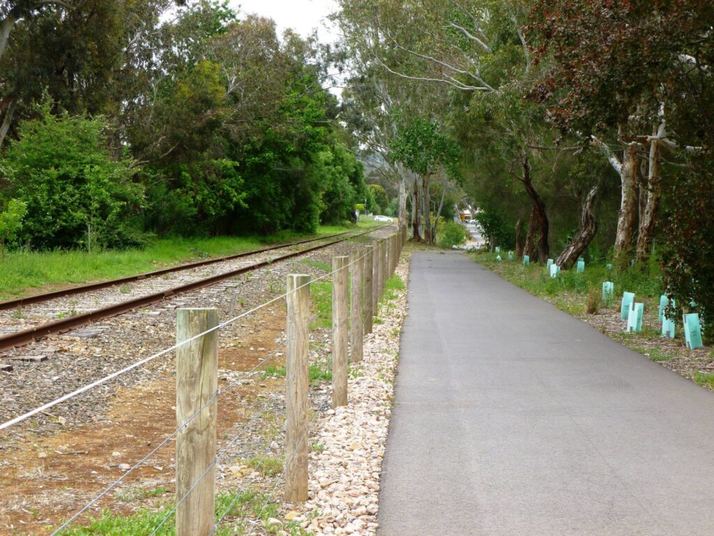
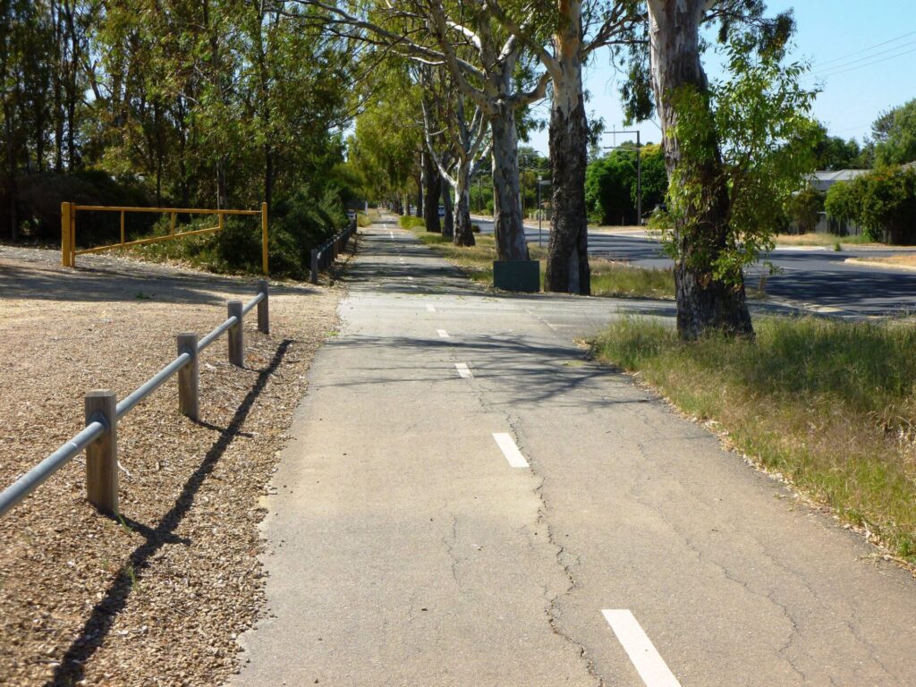
It has a smooth, asphalt surface for the its length. Some of that is on-road but, through clever engineering and physical barriers (concrete and/or vegetation), cyclists are usually shielded from motor vehicles
Section Guides
Adelaide to Sturt Creek Bikeway (8 km)
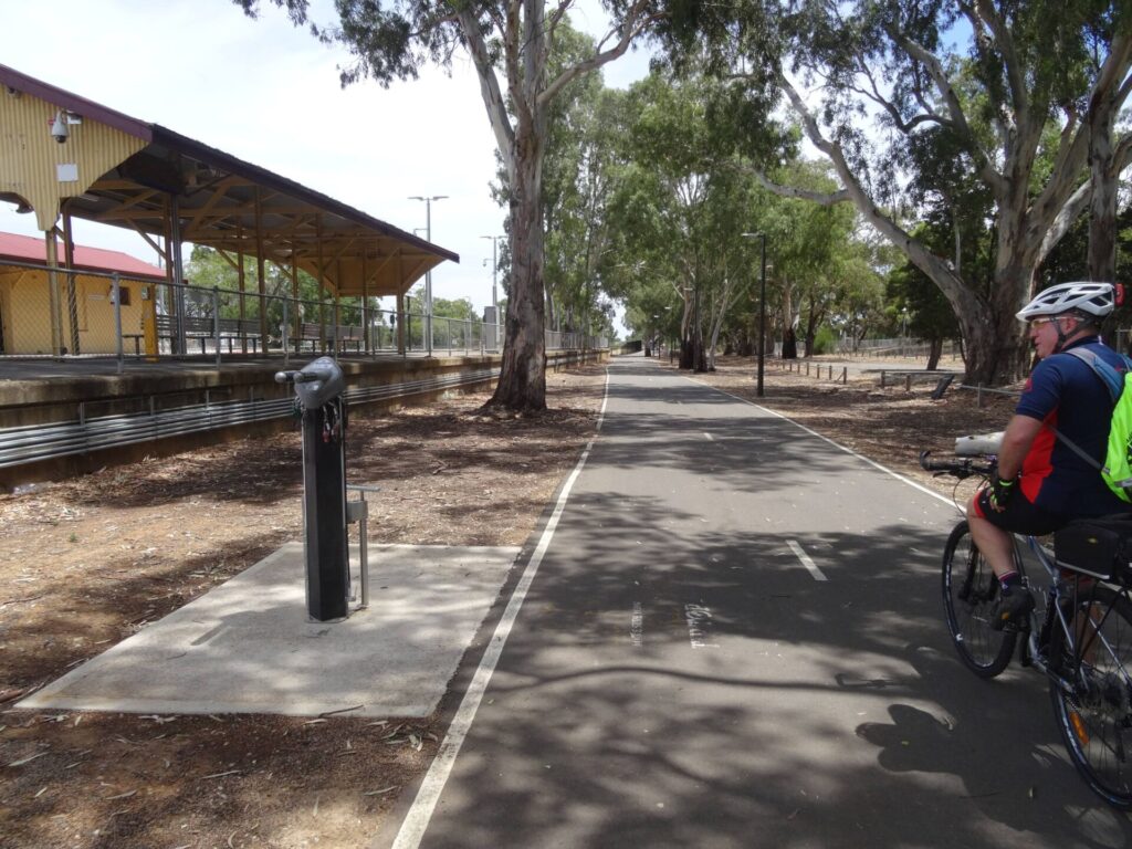
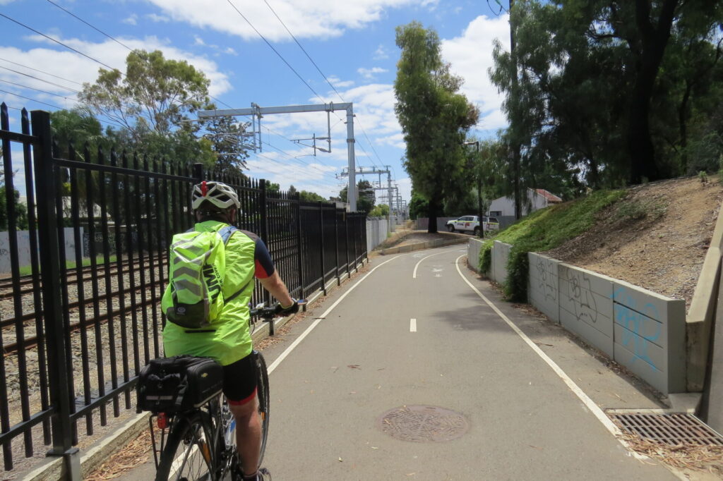
- The trail leaves the Adelaide Parklands Trail just north of Anzac Hwy and heads south, along the railway reserve, under Anzac Hwy and past the Adelaide Showgrounds Railway Station. This section is a shared use path and there are often pedestrians using it to reach the railway station.
- At Leader St, turn right across the railway lines and take an immediate left into Nairne Tce. At the end of Nairne Tce, a shared path continues into a reserve adjacent to the railway corridor and past Goodwood Station. Ahead you will see the Adelaide-Glenelg tram overpass.
- Proceed through the subway and continue heading south along Lyons Pde.
- The Mike Turtur Bikeway (also a railside trail) follows the tram line and crosses the Marino Rocks Greenway here as it heads west to the coast.
- Lyons Pde and Cromer Pde provide a quiet on-road section next to the railway corridor through to a lengthy shared path which extends to South Rd.
- South Rd goes over Cross Rd and the railway line, but you do not, so you need to use the traffic lights to cross the South Rd service road and Cross Rd. Once you are on the southern footpath of Cross Rd, ride a short distance and turn left into Railway Tce.
- Railway Tce is a relatively quiet road but there are several busy roads to cross. Pedestrian and cyclist crossing points are provided but the commuter trains running parallel stop the traffic regularly.
- After Dunorlan Rd, riders can use a dedicated cycle path between the rail corridor and the road. Separation from motor vehicles is provided by a strip of vegetation.
- When you reach Daws Rd, use the pedestrian crossing to the right to cross and then proceed along the shared path to another pedestrian crossing to cross Marion Rd. You can now use the quiet Minchinbury Tce to travel toward the Sturt Creek Bikeway.
Sturt Creek Bikeway to Marino Rocks (8 km)
- The Marino Rocks trail crosses the Sturt Creek Bikeway in a reserve. The Sturt Creek Bikeway heads right to the Mike Turtur Rail Trail and Anzac Hwy while, to the left, it leads to the Southern Expressway and Patrick Yonkers Veloway.
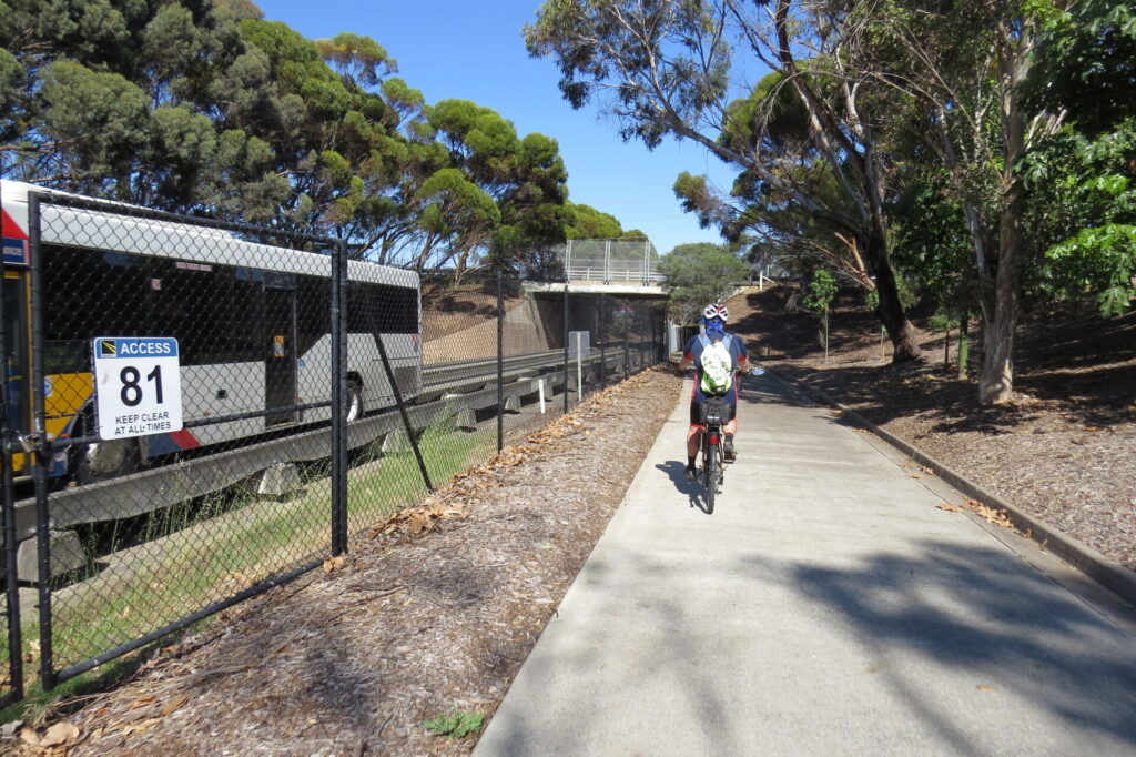
- Follow Murray Tce and the railway line until you reach Oaklands Station. Look for the sign on the left which directs you to the shared-used bridge over the railway line. Once over that, turn right and head down and through the Diagonal Rd subway. The path resurfaces on Addison Rd which can be followed all the way to Brighton Rd.
- At Brighton Rd the trail crosses the railway line and the road. This is achieved through dedicated bike lanes and two sets of traffic lights, which allow you to do a right turn and then a left one. This can get complicated when a train crosses at the same time but the light sequence is very good.
- Having turned left into The Crescent, the next 4 km to Marino Rocks Station is mostly on-street bike lanes, with blue and white signs placed to guide you. The ‘sharrows’ line marking also provide good guidance.
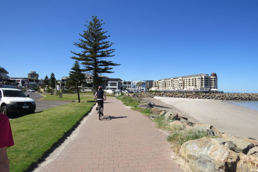
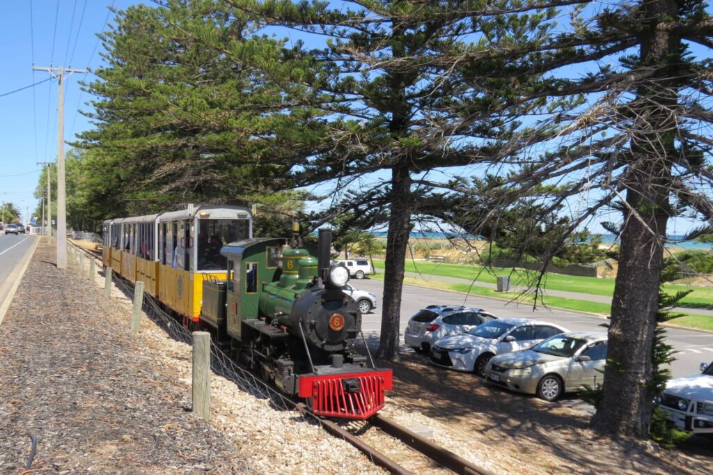
- When you reach Jetty Rd, you should have spotted some seagulls and smelt the salty sea breeze because you are less than 500 m from the coast. If you are after a bite to eat or drink, the cafes along Jetty Rd are worth a look. See CONNECTING PATHS below.
- Continue along the on-street bike lanes by following Cedar Av, Station Ave, Silver Av, Young St, Kauri Pde, Sherlock Rd, Newland Av past Marino Station, Jervois Tce and, finally, The Cove Rd. You will then arrive at the Marino Rocks Station, which is near the start of the Coast to Vines.
CONNECTING PATHS
- Sturt Creek Linear Park Trail (7 km): At the end of the first section, the trail crosses the Sturt Creek Linear Park Trail. The path can be followed to the north, to link with the Mike Turtur Rail Trail, and to the south to link with the Patrick Yonkers Veloway. Scroll down to FURTHER INFORMATION
- Coast Park Path (34 km): When the trail crosses Jetty Rd, Brighton, you are able to cycle or walk a short distance to the beach (walk your bike along footpath if the traffic is heavy). Once on the beach, Coast Park Trail can be followed south to the Kingston Park Caravan Park, where Burnham Rd and Strickland Rd can be used to re-join the greenway to Marino Rocks Station. If returning to Adelaide you can ride along the Coast Park Path north until you get to Glenelg where you can use the Mike Turtur to the city.
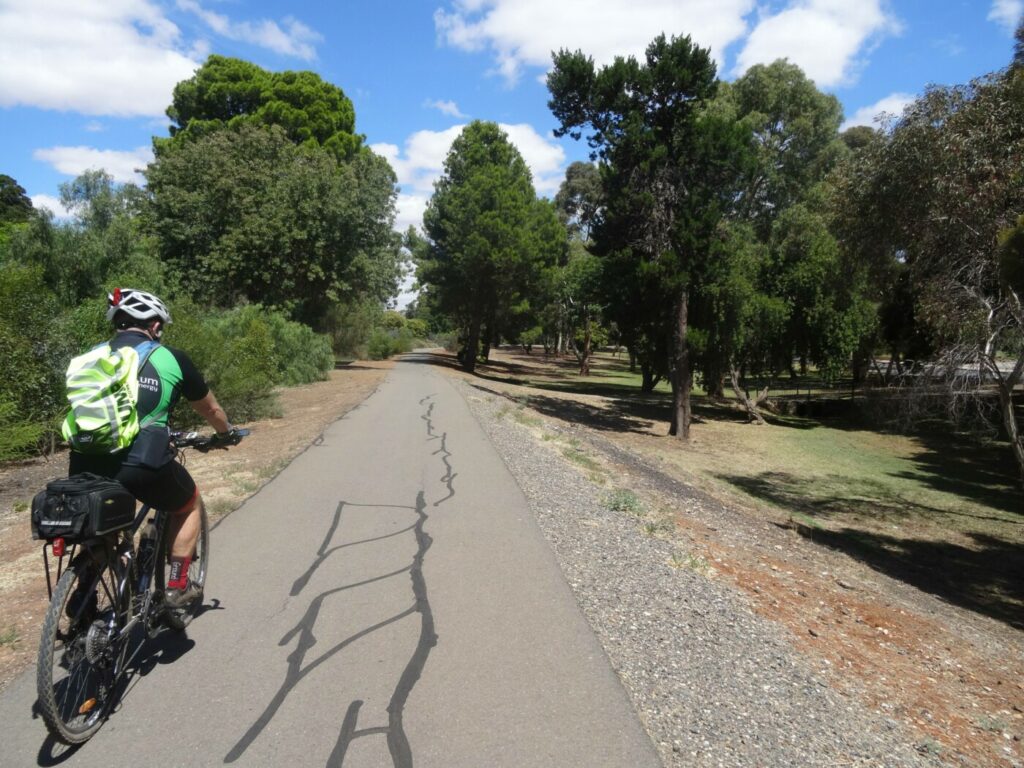
![Leaving the city on the Marino Rocks RT, near Goodwood Station [2025]](jpg/s09-100-new-pic-1_-leaving-the-city-on-the-marino-rocks-rt-near-goodwood-station-2025-img_5678-225x300.jpg)
Leaving the city on the Marino Rocks RT, near Goodwood Station [2025]
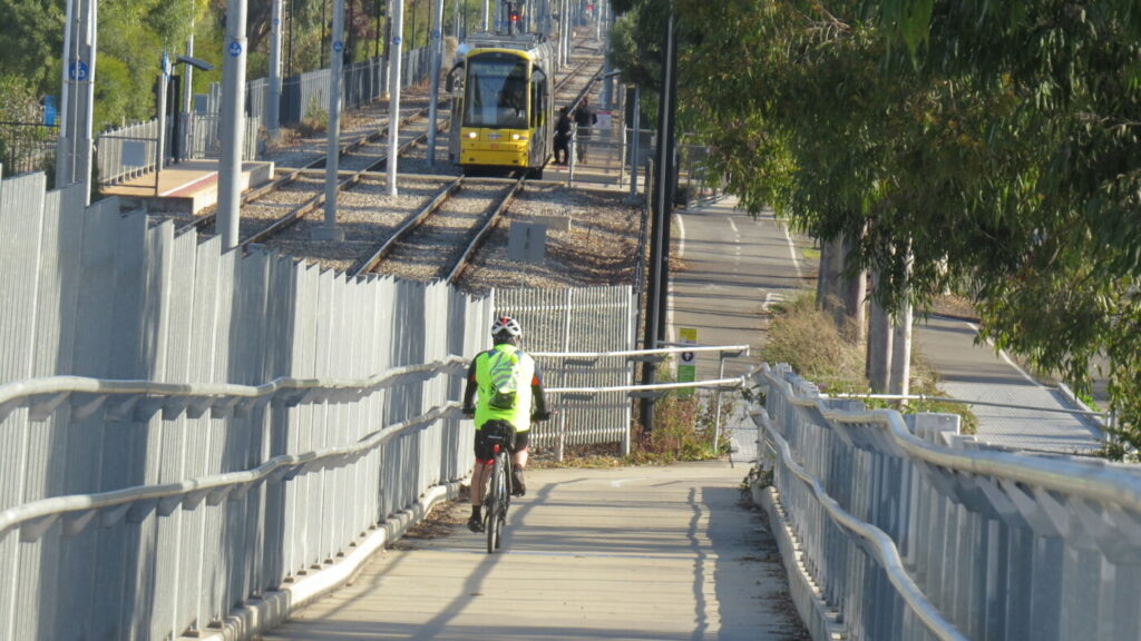
![Heading under the tram bridge towards Forestville Reserve [2025]](jpg/s09-replace-existing-pic-1-heading-under-the-tram-bridge-towards-forestville-reserve-marino-rocks-rt-2025-img_5686-225x300.jpg)
Heading under the tram bridge towards Forestville Reserve [2025]
![Racing the train in vain near Clarence Park Station [2020]](jpg/2-tram-adjacent-to-trail-clarence-park-oct-2020-img_0758-300x225.jpg)
Racing the train in vain near Clarence Park Station [2020]
![High fencing adjacent to the train line in Black Forest [2020]](jpg/1-cycle-path-adjacent-to-tram-line-black-forest-oct-2020-img_0757-300x225.jpg)
High fencing adjacent to the train line in Black Forest [2020]
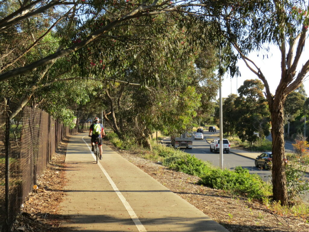
![Now this is more like a greenway. Vegetation strip separates cars from cyclists [2020]](jpg/6-vegetation-strip-separates-cars-from-cyclists-oct-2020-img_0755-300x225.jpg)
Now this is more like a greenway. Vegetation strip separates cars from cyclists [2020]
![Separated bike lanes with vegetation screening the train line [2020]](jpg/5-separated-bike-lanes-with-vegetation-screening-the-train-line-oct-2020-img_0756-300x225.jpg)
Separated bike lanes with vegetation screening the train line [2020]
![Cycle path with concrete kerbing for safety in Ascot Park [2020]](jpg/4-path-between-tram-line-and-roadway-ascot-park-oct-2020-img_0753-300x235.jpg)
Cycle path with concrete kerbing for safety in Ascot Park [2020]
![At Oaklands Station, the underpass is more recent [2020]](jpg/8-oaklands-station-underpass-img_0748-300x225.jpg)
At Oaklands Station, the underpass is more recent [2020]
![At Daws Rd, Ascot Park, the train has an overpass [2020]](jpg/7-daws-road-train-overpass-oct-2020-img_0749-300x225.jpg)
At Daws Rd, Ascot Park, the train has an overpass [2020]
!['Traffic calming' squeeze point on road avoided with cycle path in Brighton [2020]](jpg/10-intersection-avoided-by-cyclists-using-vegetated-traffic-island-in-brighton-oct-20-300x225.jpg)
'Traffic calming' squeeze point on road avoided with cycle path in Brighton [2020]
![Even in the fog, the painted sharrow shows the way [2020]](jpg/9-hove-in-the-fog-note-the-sharrow-marking-on-roadway-oct-2020-img_0745-300x225.jpg)
Even in the fog, the painted sharrow shows the way [2020]
Adelaide Metro runs regular services to Marino Rocks and they take bikes, subject to space availability. Adelaide Metro user cards are available in numerous locations and online.
Do you know of a bike hire or transportation service on this rail trail that should appear here? If so, let us know at admin@railtrails.org.au.
Information and Links
Information and Links
Timetable for Adelaide Metro’s Seaford service, which stops at Marino Rocks, here
Adelaide Parklands Trail map here
Sturt Creek Linear Park Trail map here
To report any issues or problems please contact
Adelaide City Council – 8203 7203
Unley City Council – 8372 5111
Marion City Council – 8375 6600
Holdfast Bay City Council – 8229 9999
Contact Rail Trails Australia
To contact us about this rail trail, email sa@railtrails.org.au
Background Information
Traditional owners
We acknowledge the Kaurna people, the traditional custodians of the land and waterways on which the rail trail is built.
Development and future of the rail trail
The trail is well developed, but as opportunities arise it is expected that further steps will be taken to replace on-road sections with shared use paths.
Rail line history
The Seaford Railway Line transports resident of the southern suburbs to the Adelaide CBD. It was constructed to Goodwood in 1883 and progressively extended as the southern suburbs expanded. By 1915 it had got to Marino Rocks and then went inland to McLaren Vale and Willunga.
The extension to Willunga was removed in 1969 (now the Coast to Vines Rail Trail) and a new one built to Noarlunga Centre in 1978 and extended to Seaford in 2014. The section from Adelaide to Marino Rocks was rebuilt and electrified in 2011.
Improved Underpasses for SA Rail Trails
Posted: 13/07/25
Work has started on improvements to infrastructure in Forestville Reserve (on the Mike Turtur Bikeway ...
More...Goodwood Station cyclist overpass scrapped
Posted: 04/03/24
The planned improvements to the Goodwood Station underpass (see ...
More...Westside Rail Trail Overpass to provide safety for cyclists
Posted: 22/07/23
The 10.5 km Torrens to Darlington upgrade of Main South Rd in Adelaide will involve two ...
More...Nearby Trails
Mike Turtur Bikeway railside trail
Adelaide CBD
9 km


Westside Bikeway rail trail
2 km west of Adelaide CBD
9 km
Coast Park Path Rail Trail
12km north-west of Adelaide CBD
25 km
Coast to Vines Rail Trail
20 km south of Adelaide CBD
37 km

Outer Harbor Greenway railside trail
Adelaide CBD
23 km
O-Bahn Bikeway trail
Adelaide CBD
16 km
Semaphore Rail Trail
16 km north-west of Adelaide CBD
4.2 km
Stockade Rail Trail
11 km north of Adelaide CBD
2.6 km
Gawler Greenway railside trail
Adelaide CBD
14 km
Parafield railside trail
15 km north of Adelaide CBD
3 km
Mount Barker Rail Trail
Adelaide Hills, 33km south-east of CBD
5 km
Penfield railside trail
20 km north of Adelaide CBD
7 km
Amy Gillett Bikeway rail trail
Adelaide Hills, 49 km east of CBD
23 km
Smithfield Magazine Rail Trail
33 km north of Adelaide CBD
3.5 km
Nurragi Conservation Reserve rail trail
Fleurieu Peninsula, 70 km south-east of Adelaide
13 km
Barossa Rail Trail
Barossa Valley, 50 km north-east of Adelaide
43 km
Encounter Bikeway railside trail
Fleurieu Peninsula, 85 km south of Adelaide
28 km
Kapunda Rail Trail
78 km north of Adelaide
1 km
Eudunda Rail Trail
112 km north of Adelaide
1 km
Riesling and Rattler Trails
Clare Valley, 130 km north of Adelaide
53 km
Shamus Liptrot Rail Trail
Adelaide Plains, 100 km north of Adelaide
11 km

Copper Rail Trail
Adelaide Plains, 100 km north of Adelaide
39 km
Nearby Trails
Mike Turtur Bikeway railside trail
Adelaide CBD
9 km
Westside Bikeway rail trail
2 km west of Adelaide CBD
9 km
Coast Park Path Rail Trail
12km north-west of Adelaide CBD
25 km
Coast to Vines Rail Trail
20 km south of Adelaide CBD
37 km
Outer Harbor Greenway railside trail
Adelaide CBD
23 km
O-Bahn Bikeway trail
Adelaide CBD
16 km
Semaphore Rail Trail
16 km north-west of Adelaide CBD
4.2 km
Stockade Rail Trail
11 km north of Adelaide CBD
2.6 km
Gawler Greenway railside trail
Adelaide CBD
14 km
Parafield railside trail
15 km north of Adelaide CBD
3 km
Mount Barker Rail Trail
Adelaide Hills, 33km south-east of CBD
5 km
Penfield railside trail
20 km north of Adelaide CBD
7 km
Amy Gillett Bikeway rail trail
Adelaide Hills, 49 km east of CBD
23 km
Smithfield Magazine Rail Trail
33 km north of Adelaide CBD
3.5 km
Nurragi Conservation Reserve rail trail
Fleurieu Peninsula, 70 km south-east of Adelaide
13 km
Barossa Rail Trail
Barossa Valley, 50 km north-east of Adelaide
43 km
Encounter Bikeway railside trail
Fleurieu Peninsula, 85 km south of Adelaide
28 km
Kapunda Rail Trail
78 km north of Adelaide
1 km
Eudunda Rail Trail
112 km north of Adelaide
1 km
Riesling and Rattler Trails
Clare Valley, 130 km north of Adelaide
53 km
Shamus Liptrot Rail Trail
Adelaide Plains, 100 km north of Adelaide
11 km
Copper Rail Trail
Adelaide Plains, 100 km north of Adelaide
39 km
2 reviews of “Marino Rocks Greenway rail trail”
13/70 Slingshotting off a lap of the Adelaide Parklands Trail, I quite enjoyed this one. The on-road ending along Newland Av and The Cove Rd is somewhat inauspicious but, with the help of your map, I was able to navigate to the Nest Kiosk (on the Coast Park Trail) before heading on to the Coast to Vines
Another convenient trail alongside an active suburban railway line. A mix of dedicated trails and quiet back streets, it is the best way to get to the start point of the Coast to Vines Rail Trail with an easy grade ascending the hills to Marino Rocks. Used as a commuter route by many cyclists from the southern suburbs.