 Location:
 Length:
 Surface:
 Start / End:
 Suitable for:
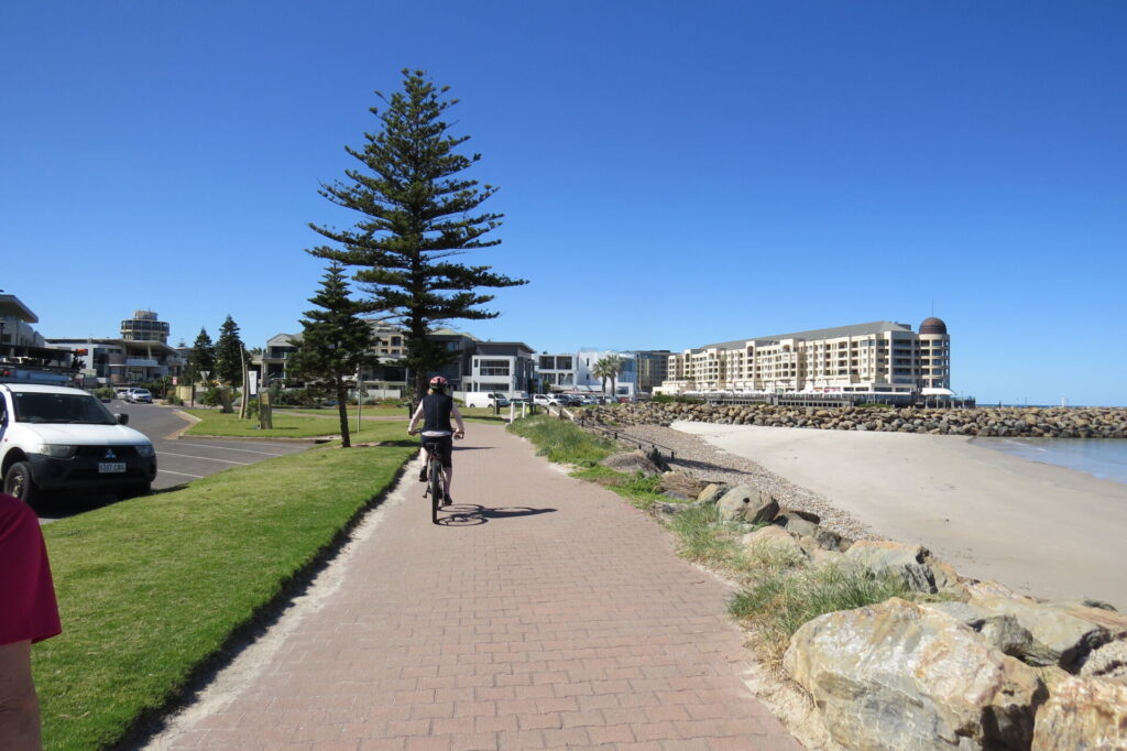
The Gawler Greenway railside trail is not a scenic ride just yet, but it serves a major role by linking the CBD to many trails in Adelaide's northern suburbs.

When finished, this shared path will complete a major north-south rail trail, covering 140 km from the Barossa Valley in the north to the Southern Vales wine region following railway corridors. The Gawler Greenway is also providing links to other shared paths, including a loop with the Stuart O’Grady Bikeway.
Nearby Attractions
- Adelaide Parklands
- Art Gallery of South Australia
- Greenfield Wetlands
- Barossa Rail Trail, Penfield Rail Trail, Dry Creek Trail, Little Para River Trail, Stuart O’Grady Bikeway, Port River Bikeway, Stockade Rail Trail and Tapa Martinthi Yala Trail.
Last updated: 29 April 2025
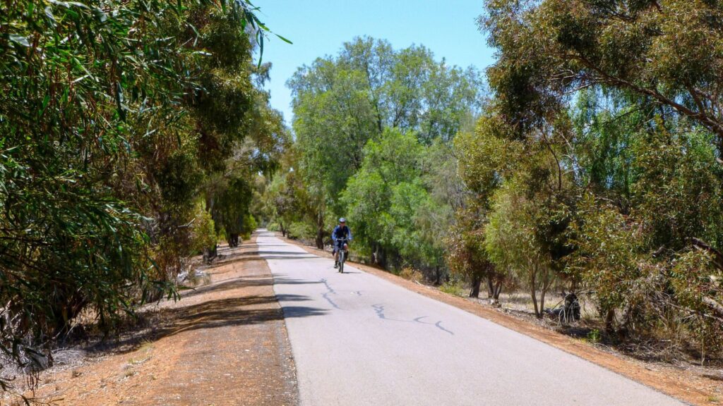
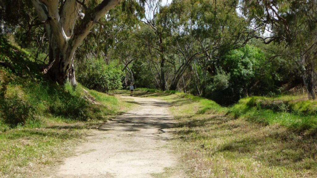
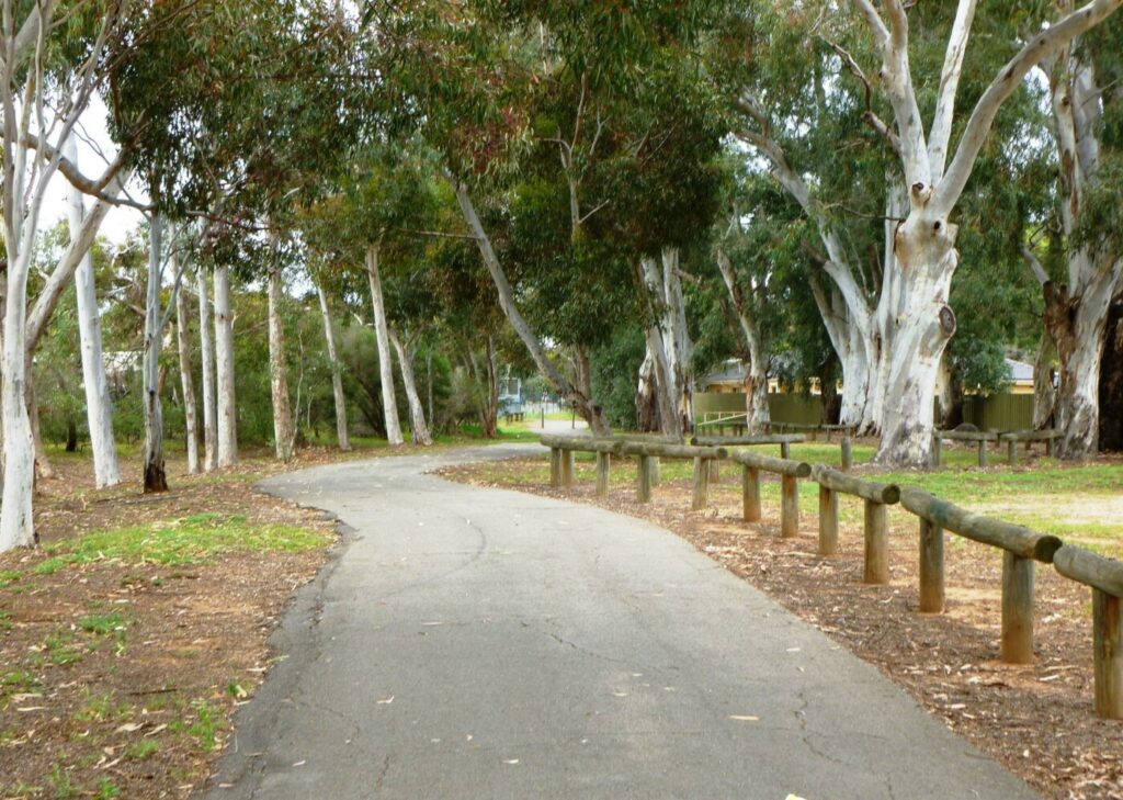
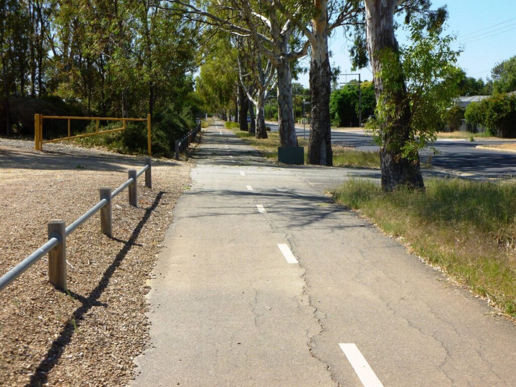
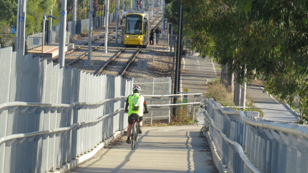
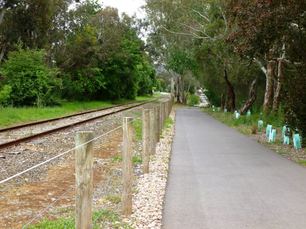
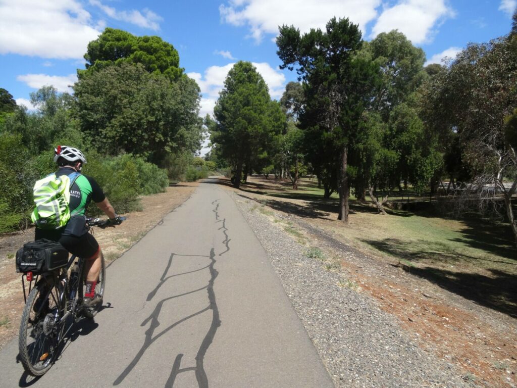
The Gawler Greenway is a railside trail which follows part of the operational line to Gawler, some on-road sections featuring sharrows. It’s a long-term state government project that will ultimately cover 45 km. The 14 km section between the CBD and Dry Creek described here is substantially complete and several smaller bits are being completed. The shared path moves through a variety of landscapes such as inner urban residential areas, industrial zones, railyards and wetlands.
The main sections of the trail are:
- CBD to Islington Railyards (9 km): Starts in the Adelaide Parklands and rolling through inner-urban settings before reaching an industrial area and the railyards
- Railyards to Dry Creek (5 km): More industry and wetlands before an abrupt end at the Salisbury Hwy
Section Guides
Adelaide CBD to Islington Railyards (9 km)
- Like many railside trails in inner-city areas, space is limited for this one, so it tends to follow unusual routes and signage is often not as good as it could be.
- The trail starts in Adelaide Parklands, on the banks of the River Torrens. Park at Lot 104 Montefiore Rd off Festival Dr (with the trail starting slightly to the north), or catch the train to Adelaide Station and ride south along the Karrwirra Parri/River Torrens shared path to join the Gawler Greenway.
- Proceed west along the river, past the Torrens Lake Weir and turn left into the shared-use railway underpass
- Continue along the edge of the river and cross the high-level bridge just before Port Rd
- On the other side of the river, continue straight on, using the bridge to cross over the Outer Harbor Line. Follow the path to the left and turn right, then right again when the path gets to Park Tce
- Follow the trail as it slowly curves to the right until it reaches a railway line. Use the level crossing to cross and follow the trail to the left which passes the former North Adelaide Station. Just past the station car park, take the trail to the left and follow the railway line.
- Follow quiet Park Tce until it returns to the line, where you can cross Hawker St. The streets are marked with sharrows indicating the direction to be followed, including turns.
- Once over Hawker St, turn left into Gilbert St and then left into Albert St/Guthrie St which can be followed right through to Torrens Rd
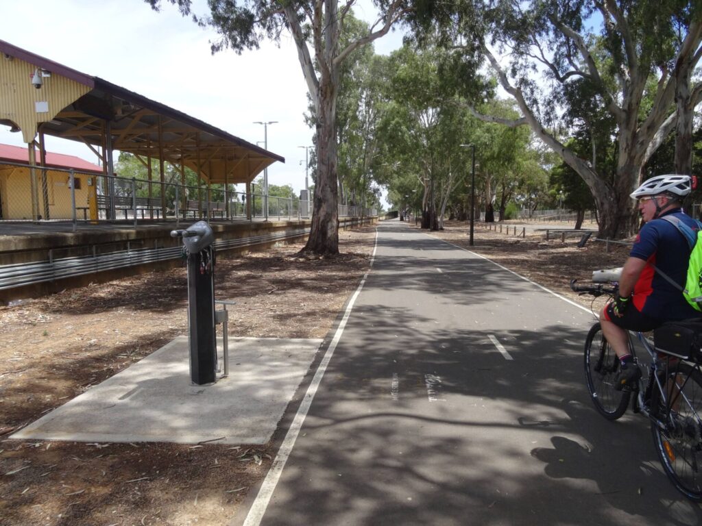
- Turn left at Torrens Rd and use the footpath to travel a short distance down to the railway line where the trail travels under the Torrens Rd overpass. This is a good place to stop for a rest and there is a bike repair station.
- The trail continues on northward along Davenport Tce for 2 km, where a gravel track on the edge of a property development is used for a short distance. This section of trail will be upgraded once the property development has been completed. When nearing the Regency Rd railway bridge, take the pedestrian level crossing on your left. Once over the line, cross the road and use the underpass to get to the other side of Regency Rd. There is often broken glass in the underpass, so take care.
- Turn left, cross Pedder Cr and follow the bike trail, until you reach the traffic lights at Naweena Rd. Cross Naweena, turn right, and follow the on-road bike lane for 2.7 km. When the road veers left, take the shared-use path on the right. There are good blue-and-white directional signs along this section.
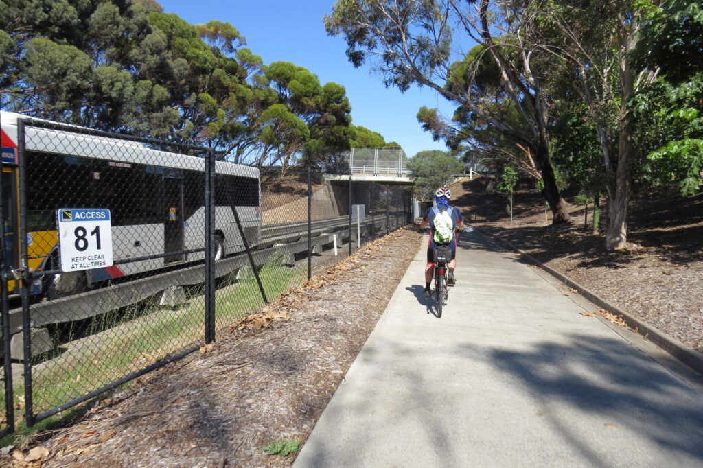
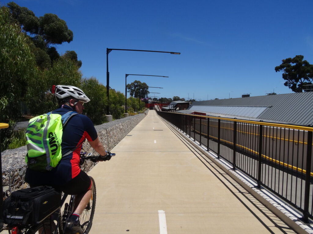
- The shared-use path will take you over an intersection and on to an underpass, which will take you under Grand Junction Rd. The trail has taken a slight detour as the Islington Railyards and associated industrial precinct prevent the trail from following the Gawler Line.
Islington Railyards to Dry Creek (5 km)
- Once through the Grand Junction Rd underpass, cross the road and, slightly to your right, you will see the trail resume.
- Follow the trail through the industrial estate (not the most scenic or fragrant place) for 1. 2km and cross Cormack Rd using the pedestrian crossing. The Gawler Line is now next to the trail on the right.
- Once Cormack Rd, follow the trail to the left and then cross Magazine Rd, turn right and follow it north for 450 m. Turn right into Henschke St and follow it to the end and you will see the trail start on the left. The Gawler Line is now on the right
- Follow the trail for 1.75 km until it reaches Salisbury Hwy
- The trail ends here but may continue on to Mawson Lakes, where the Parafield railside trail awaits.
CONNECTING PATHS
- Magazine Rail Trail (500 m): Magazine Rd, mentioned above, also forms part of the Magazine Rail Trail. This area was originally home to a 600 mm-gauge railway for a horse-drawn train from the Islington railyards, along Henschke St and north near Magazine Rd to the Dry Creek explosives storage area. As residential and industrial development moved closer, the storage facility was relocated. This route connects the Gawler Greenway to the Port River Bikeway and Tapa Martinthi Yala along the Northern Connector Freeway (see below).
- Wetland Trail (2 km): There is a scenic alternative to the section of the greenway from Henschke St to Salisbury Hwy. At Henschke St, continue north on Magazine Rd until you reach the Salisbury Hwy (A9). Turn right and follow the gravel path for 200 m, where it heads into the wetland. The trail continues on through the wetland with occasional narrow and low bridge crossings before it arrives back near Salisbury Hwy and the current end of Gawler Greenway. This is not a formal path or trail and it could be described as a goat track in some sections. Cyclists need to assess the risk associated with travelling on an unmade track through a wetland.
- Port Expressway Connection: At the northern end of Magazine Rd, a shared-use path veers to the left and follows the expressway and the Barker Inlet Wetlands for 900m before passing under the expressway in what can only be described as a modified stormwater drain (it’s better than crossing the expressway but often a little damper). Follow the shared-use path and turn left onto a wider path/road which can be followed to Salt Pan Junction. At this point you have two options – turn left and follow the Port River Bikeway toward Port Adelaide (7.6 km) or travel onward (north) on the Tapa Martinthi Yala shared-use path which follows the freeway for 16.7 km. From there, Tapa Martinthi Yala connects with the Stuart O’Grady Bikeway which leads to Gawler (22.6 km)
![Crossing shared bridge over the Outer Harbor Railway Line [2021]](jpg/1-crossing-over-the-rail-line-to-outer-harbor-july21-300x225.jpg)
Crossing shared bridge over the Outer Harbor Railway Line [2021]
![Passing the former street entrance to the North Adelaide Station [2024]](jpg/2-passing-the-street-side-entrance-to-the-restored-north-adelaide-railway-station-feb22-300x200.jpg)
Passing the former street entrance to the North Adelaide Station [2024]
![Exiting the Park Tce overpass with the Gawler Line on the left [2024]](jpg/3-exiting-the-park-terrace-overpass.-gawler-rail-line-is-on-the-left.-feb-22-300x200.jpg)
Exiting the Park Tce overpass with the Gawler Line on the left [2024]
![Shady rest area under the Torrens Rd overpass [2023]](jpg/4-rest-area-under-the-torrens-road-overpass-oct-23-300x200.jpg)
Shady rest area under the Torrens Rd overpass [2023]
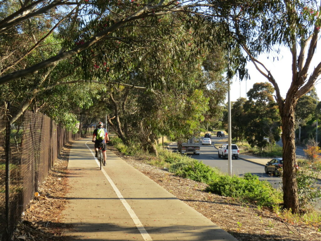
![Devonport Tce with the Gawler Railway Line on the left [2023]](jpg/5-devonport-terrace-with-gawler-line-on-the-left-and-cane-reserve-on-the-right-oct23-300x200.jpg)
Devonport Tce with the Gawler Railway Line on the left [2023]
![Gravel section of the trail approaching Islington Station [2023]](jpg/6-rubble-section-of-the-trail-on-the-approach-to-islington-station-feb-22-300x200.jpg)
Gravel section of the trail approaching Islington Station [2023]
![Entrance to the tunnel under Regency Rd [2023]](jpg/7-tunnel-under-regency-road-oct23-300x200.jpg)
Entrance to the tunnel under Regency Rd [2023]
![Heading north from Henschke St with the Gawler Line on right [2023]](jpg/9-trail-heading-north-from-henschke-street.-gawler-line-is-on-the-right-oct23-300x200.jpg)
Heading north from Henschke St with the Gawler Line on right [2023]
![Passing through the Wingfield industrial area. Train from Gawler can be seen in distance [2023]](jpg/8-trail-passing-through-the-wingfield-industrial-area.-gawler-line-is-on-the-right-oct-23-300x200.jpg)
Passing through the Wingfield industrial area. Train from Gawler can be seen in distance [2023]
![Crossing a wetland near the Gawler Line at Wingfield [2023]](jpg/10-crossing-a-wetland-near-the-gawler-line.-july21-1-300x225.jpg)
Crossing a wetland near the Gawler Line at Wingfield [2023]
Adelaide Metro carries bikes, with some restrictions. Gawler Line timetable here
Do you know of a bike hire or transportation service on this rail trail that should appear here? If so, let us know at admin@railtrails.org.au.
Information and Links
For further information, or to report any problems, please see contacts below:
City of Adelaide – City to Park Tce
Ph: 08 8203 7203 or cu******@****************om.au
City of Charles Sturt – Park Tce to Torrens Rd
Ph: 08 8408 1111 or co*****@*****************ov.au
City of Prospect – Torrens Rd to Regency Rd
Ph: 08 8269 5355 or ad****@*************ov.au
City of Port Adelaide Enfield – Regency Rd to Greenfields Wetland
Ph: 08 8405 6600 or se*****@**************ov.au
City of Salisbury – Greenfields Wetland to current end of trail
Ph: 08 8406 8222 or ci**@**************ov.au
Contact Rail Trails Australia
To contact us about this rail trail, email sa@railtrails.org.au
Background Information
Traditional owners
We acknowledge the Kaurna people, the traditional custodians of the land and waterways on which the Gawler Rail Trail is constructed.
Rail line history
The Adelaide to Gawler Line opened in 1857 and, within two decades, lines spread from Gawler to the Barossa Valley, Mid North and Southern Flinders. Most of them have closed but the Gawler Line is still the most frequent and heavily patronised line in the Adelaide network. The line’s primary role was the movement of produce (agricultural and mining) to Port Adelaide for shipment interstate and overseas. It was also the essential link between South Australia’s northern communities and Adelaide.
The Magazine Horse-Drawn Railway was constructed in 1903 and decommissioned in 1965. The 4.5 km, 600 mm-gauge railway operated between the Dry Creek Station and Broad Creek (a waterway which discharged into the mangroves off Le Fevre Peninsula). The line transported explosives from the Broad Creek jetty, to the magazine for storage, approximately 2.5 km inland. When the explosives were required, they were taken by rail from the magazine to Dry Creek Station, a further 2 km inland, for transport around the state. The railway was replaced by the road and two trucks. See also Smithfield Magazine rail trail
Development and future of the rail trail
The Gawler Greenway currently extends 14km. When it reaches Gawler, it will be 45 km. Small sections like the Parafield Rail Trail are being completed between Mawson Lakes and Gawler; but these do not connect or have directional signage. An 835 m section has been constructed from the Elizabeth South Railway Station to Whitford Rd, Elizabeth South, by Playford Council (see map), so that stretch now goes as far as Elizabeth Station.
An 800 m section will be constructed north from Kings Rd to York Tce, Salisbury Downs, on land previously owned by Thomas More College, between the Gawler Line and the college campus. Lighting and safety fencing will be installed along the path. The existing Kings Rd pedestrian-actuated crossing near Parafield Station will be relocated 140 m east to align with the trail and to provide a safer crossing place for Thomas More students. The project will be constructed by Salisbury Council and the Department for Infrastructure and Transport
Nearby Trails
Parafield railside trail
15 km north of Adelaide CBD
3 km


Stockade Rail Trail
11 km north of Adelaide CBD
2.6 km
Penfield railside trail
20 km north of Adelaide CBD
7 km
O-Bahn Bikeway trail
Adelaide CBD
16 km
Outer Harbor Greenway railside trail
Adelaide CBD
23 km
Semaphore Rail Trail
16 km north-west of Adelaide CBD
4.2 km
Smithfield Magazine Rail Trail
33 km north of Adelaide CBD
3.5 km
Westside Bikeway rail trail
2 km west of Adelaide CBD
9 km
Mike Turtur Bikeway railside trail
Adelaide CBD
9 km
Coast Park Path Rail Trail
12km north-west of Adelaide CBD
25 km
Marino Rocks Greenway rail trail
Adelaide CBD
16 km
Amy Gillett Bikeway rail trail
Adelaide Hills, 49 km east of CBD
23 km

Mount Barker Rail Trail
Adelaide Hills, 33km south-east of CBD
5 km
Barossa Rail Trail
Barossa Valley, 50 km north-east of Adelaide
43 km
Coast to Vines Rail Trail
20 km south of Adelaide CBD
37 km
Kapunda Rail Trail
78 km north of Adelaide
1 km
Nurragi Conservation Reserve rail trail
Fleurieu Peninsula, 70 km south-east of Adelaide
13 km
Encounter Bikeway railside trail
Fleurieu Peninsula, 85 km south of Adelaide
28 km
Eudunda Rail Trail
112 km north of Adelaide
1 km
Riesling and Rattler Trails
Clare Valley, 130 km north of Adelaide
53 km
Shamus Liptrot Rail Trail
Adelaide Plains, 100 km north of Adelaide
11 km

Copper Rail Trail
Adelaide Plains, 100 km north of Adelaide
39 km
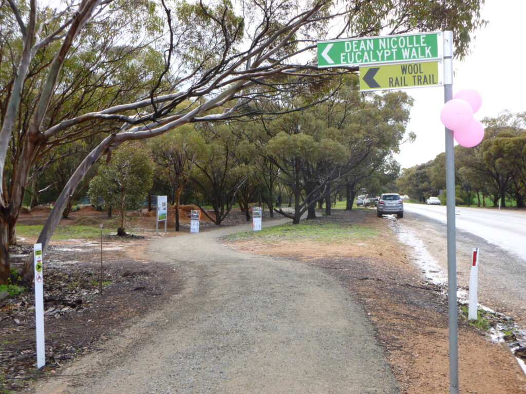
Wool Rail Trail
130 kms north of Adealide
2.2 km
Nearby Trails
Parafield railside trail
15 km north of Adelaide CBD
3 km
Stockade Rail Trail
11 km north of Adelaide CBD
2.6 km
Penfield railside trail
20 km north of Adelaide CBD
7 km
O-Bahn Bikeway trail
Adelaide CBD
16 km
Outer Harbor Greenway railside trail
Adelaide CBD
23 km
Semaphore Rail Trail
16 km north-west of Adelaide CBD
4.2 km
Smithfield Magazine Rail Trail
33 km north of Adelaide CBD
3.5 km
Westside Bikeway rail trail
2 km west of Adelaide CBD
9 km
Mike Turtur Bikeway railside trail
Adelaide CBD
9 km
Coast Park Path Rail Trail
12km north-west of Adelaide CBD
25 km
Marino Rocks Greenway rail trail
Adelaide CBD
16 km
Amy Gillett Bikeway rail trail
Adelaide Hills, 49 km east of CBD
23 km
Mount Barker Rail Trail
Adelaide Hills, 33km south-east of CBD
5 km
Barossa Rail Trail
Barossa Valley, 50 km north-east of Adelaide
43 km
Coast to Vines Rail Trail
20 km south of Adelaide CBD
37 km
Kapunda Rail Trail
78 km north of Adelaide
1 km
Nurragi Conservation Reserve rail trail
Fleurieu Peninsula, 70 km south-east of Adelaide
13 km
Encounter Bikeway railside trail
Fleurieu Peninsula, 85 km south of Adelaide
28 km
Eudunda Rail Trail
112 km north of Adelaide
1 km
Riesling and Rattler Trails
Clare Valley, 130 km north of Adelaide
53 km
Shamus Liptrot Rail Trail
Adelaide Plains, 100 km north of Adelaide
11 km
Copper Rail Trail
Adelaide Plains, 100 km north of Adelaide
39 km
Wool Rail Trail
130 kms north of Adealide
2.2 km
One review of “Gawler Greenway railside trail”
20/70 The Gawler railside trail is a long way from Gawler, so far at least. It starts close to the Outer Harbor Greenway ride, near the Adelaide Railway Station, but there’s not much overlap. There's a big detour around the Islington Railyards but we really should be allowed to ride through!! Ending at the Salisbury Hwy/Kidman Rd intersection, you can go to the OTR roadhouse before heading back through the wetland. Hopefully it will make it to Mawson Lakes one day. I took the van there to ride the Parafield Railside Trail the next day.