 Location:
 Length:
 Surface:
 Start / End:
 Suitable for:
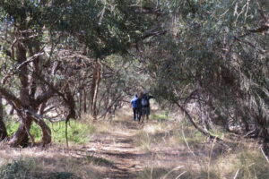
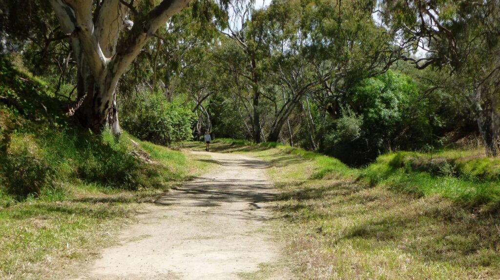
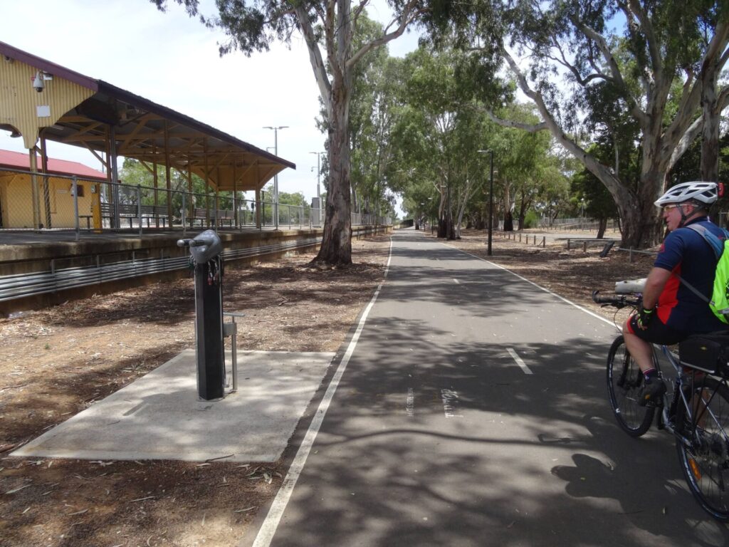
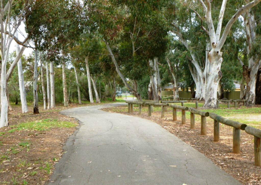
One of the original reasons for rail trails was to create conservation corridors, and the Nurragi Conservation Reserve is a good example. It is an ideal walk to see more than 300 species of native plants, 67 of these are of particular conservation significance.

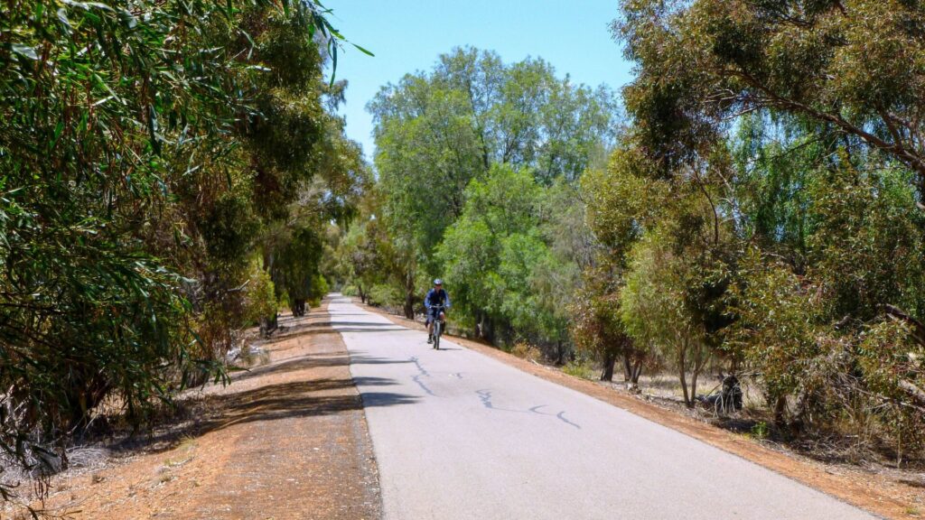
- The trail through this reserve provides a unique opportunity to experience remnant vegetation which is native to the region
- It has a mix of natural and cultural heritage features
- It is recommended for families, train enthusiasts and groups who want a gentle 2-3 hour walk
Nearby Attractions
- More than 300 species of native plants grow in the Rail Trail
- It is recommended for families, train enthusiasts, and groups who want a gentle walk lasting 2-3 hours.
- Lake Alexandrina at Milang is a great place for a dip, especially for the kids, because the water is only waist deep until you’re past the end of the jetty.
- The Milang railway museum is open from Noon to 4pm on Saturdays and Sundays and by appointment at other times. Telephone (08) 8537 0061. They have souvenirs and serve refreshments in the carriages.
- The Encounter Bikeway and the townships of Goolwa, Port Elliot & Victor Harbor are nearby.
Last updated: 30 September 2025
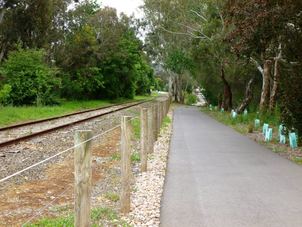
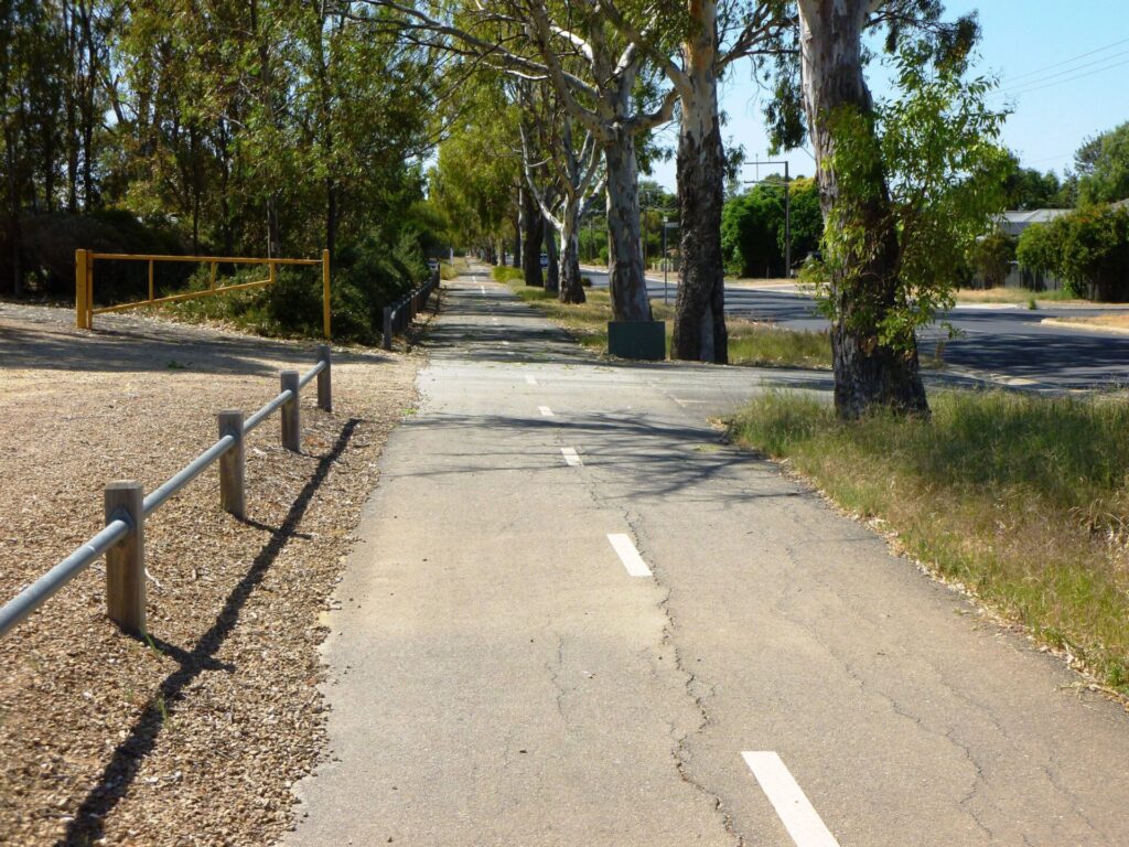
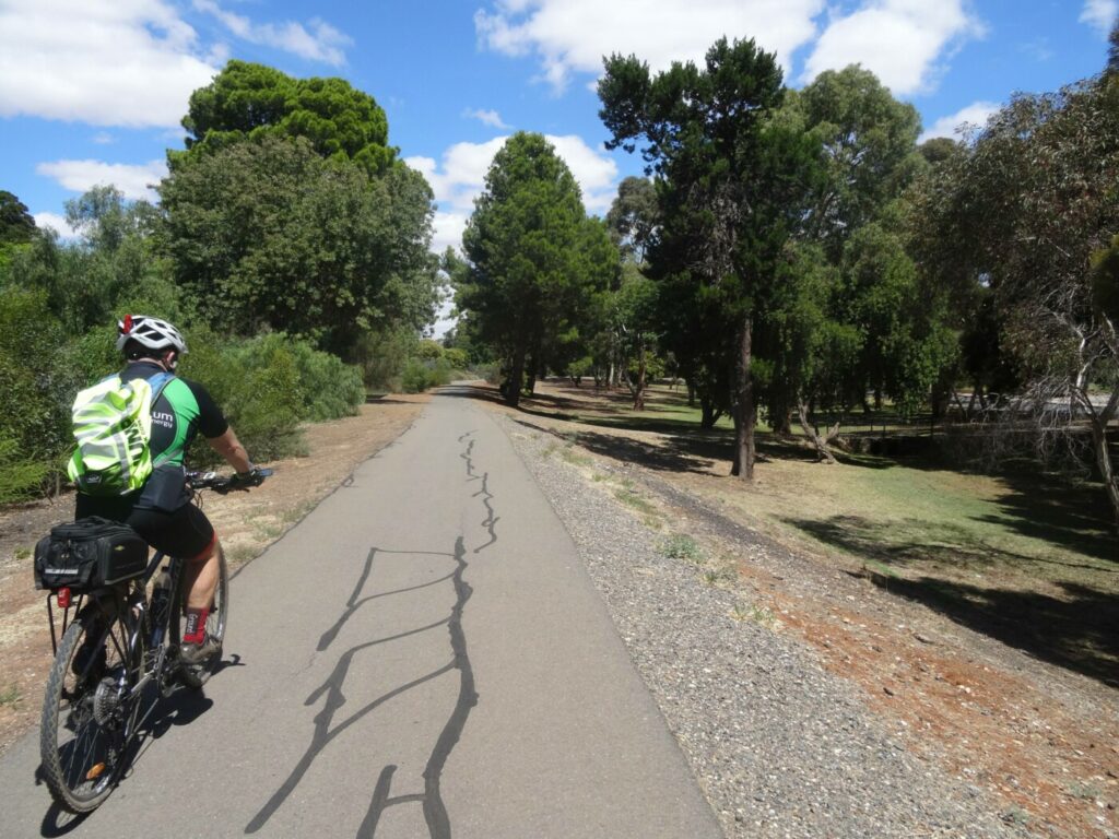
This trail is only suitable for walking as there are stiles at the road crossings.
Local volunteers have established a self-guided walk with features numbered from the Sandergrove end. There are brochures and engraved maps at access points on the trail. Distance markers have also been installed with measurements in both directions.
The trail can be split into two main sections:
- Sandergrove to Nurragi features pink gums and Mallee vegetation in its 7 km of heavier soils
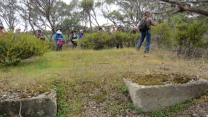
- Nurragi to Milang has the remains of the Nurragi Siding and a memorial to the person who chaired the Friends of Nurragi for 20 years
Section Guides
Sandergrove to Nurragi (7.2 km)
- You can reach the Sandergrove end of the trail via Goolwa Rd and Tucker Rd, which you follow to the end, past the railway line.
- Here there was a school to the south west until the 1950s
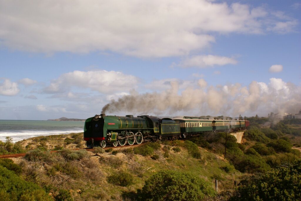
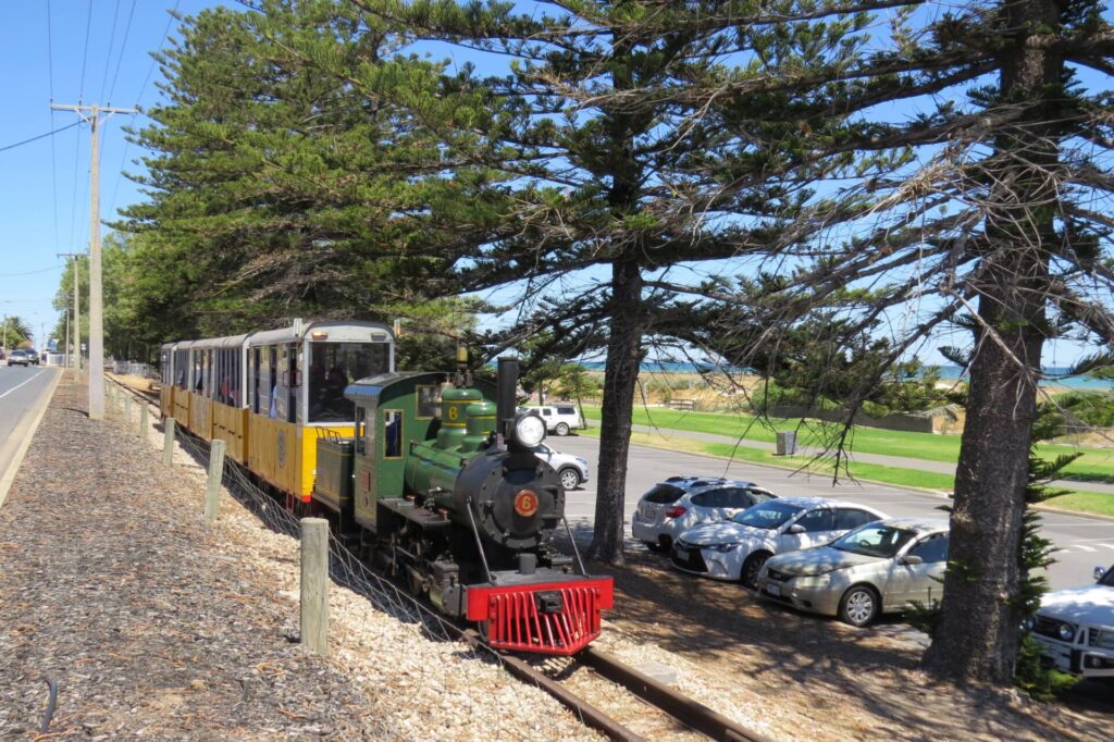
- To the west, the SteamRanger heritage trains run to Victor Harbor
- Around Dry Plains Rd, the area can be inundated when the rains finally come
- Sandy soils here favour pink gums
- Before Nurragi Rd, the former siding is on your left
Nurragi to Milang (5.4 km)
- After crossing the stiles on both sides of Nurragi Rd, there is a picnic area and another place to pick up a brochure
- There is a memorial to local naturalist John Eckert, who chaired the Friends group for 20 years.
- You will see mallee trees like bottle brush and dryland tea-tree, native pine and correa
- The railway crossing of Finniss-Milang Rd was acute, so the trail resumes diagonally opposite. Watch for traffic and avoid the private property on the right
- Sections of the track are overgrown and sandy.
- From Weeroona Rd, where the trail crosses beyond the cemetery, is a section that was included in the reserve in 2001. Closer to Milang, this land was subject to grazing until more recently and not direct-seeded until 2008.
- The trail ends at McDonald Rd, not far from the Milang Railway Museum. Try to time your visit for when it is open (see FURTHER INFORMATION below)
- Milang is the only place with facilities, including BBQs and a foreshore caravan park.
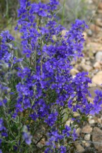
Native vegetation growing in abundance on the trail
![Early days at the Nurragi Conservation Reserve [2006]](jpg/s13-155-port-milang-2006-09-118-1888-300x225.jpg)
Early days at the Nurragi Conservation Reserve [2006]
![Scarlet Bottlebrush which can be seen on the trail [Jeff Whittaker]](jpg/6311605553204-300x200.jpg)
Scarlet Bottlebrush which can be seen on the trail [Jeff Whittaker]
![Nurragi Station site [2006]](jpg/6791605553204-300x225.jpg)
Nurragi Station site [2006]
![Kick-to-kick at Milang Station waiting for the rail cafe to open [2025]](jpg/s13-150-kick-to-kick-at-the-milang-railway-station-waiting-for-the-carriage-cafe-to-open-2025-5639-300x169.jpg)
Kick-to-kick at Milang Station waiting for the rail cafe to open [2025]
![Interpretive signs have been added to display in Milang's railyard [2025]](jpg/s13-150-interpretive-signs-have-been-added-to-the-display-in-milangs-former-railyard-2025-img_5642-300x169.jpg)
Interpretive signs have been added to display in Milang's railyard [2025]
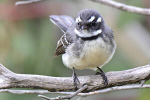
A Grey Fantail enjoys the rail trail envornment
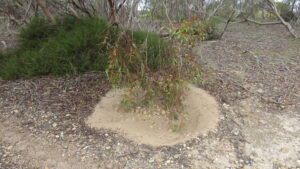
a low hanging eucalypt, moved about by the wind, keeps the rail trail clean
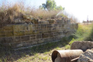
an old stone abutment on the rail trail
the vegetation can encroach on the trail
all that remains of a stormwater abutment
Do you know of a bike hire or transportation service on this rail trail that should appear here? If so, let us know at admin@railtrails.org.au.
Information and Links
Contact Rail Trails Australia
To contact us about this rail trail, email sa@railtrails.org.au
Background Information
Traditional owners
We acknowledge the Ngarrindjeri people, the traditional custodians of the land and waterways on which the rail trail is built.
Rail line history
The Sandergrove to Milang branch line opened in 1884, with Sandergrove Station being about 10 km south of Strathalbyn on the main line from Mt Barker to Victor Harbor and Nurragi being the intermediate one on the branch. The name is based on the Ngarrindjeri word for scrub. By the early 1990s much of the native “scrub” had been cleared for agricultural production.
Ironically, after the line’s closure in 1970, the rail corridor was left relatively undisturbed and, through the efforts of the local community, council and SA Government, existing vegetation has been protected and species of the original Milang scrub added to the railway corridor. The area was dedicated as a nature conservation and plantation reserve in 1991 and the trail was officially opened in May, 2014. A heritage agreement permanently protects the area.
Nearby Trails
Encounter Bikeway railside trail
Fleurieu Peninsula, 85 km south of Adelaide
28 km


Mount Barker Rail Trail
Adelaide Hills, 33km south-east of CBD
5 km
Coast to Vines Rail Trail
20 km south of Adelaide CBD
37 km

Amy Gillett Bikeway rail trail
Adelaide Hills, 49 km east of CBD
23 km
Marino Rocks Greenway rail trail
Adelaide CBD
16 km
Mike Turtur Bikeway railside trail
Adelaide CBD
9 km
Westside Bikeway rail trail
2 km west of Adelaide CBD
9 km
Coast Park Path Rail Trail
12km north-west of Adelaide CBD
25 km
O-Bahn Bikeway trail
Adelaide CBD
16 km
Stockade Rail Trail
11 km north of Adelaide CBD
2.6 km
Outer Harbor Greenway railside trail
Adelaide CBD
23 km
Gawler Greenway railside trail
Adelaide CBD
14 km
Parafield railside trail
15 km north of Adelaide CBD
3 km
Semaphore Rail Trail
16 km north-west of Adelaide CBD
4.2 km
Penfield railside trail
20 km north of Adelaide CBD
7 km
Smithfield Magazine Rail Trail
33 km north of Adelaide CBD
3.5 km
Barossa Rail Trail
Barossa Valley, 50 km north-east of Adelaide
43 km
Kapunda Rail Trail
78 km north of Adelaide
1 km
Nearby Trails
Encounter Bikeway railside trail
Fleurieu Peninsula, 85 km south of Adelaide
28 km
Mount Barker Rail Trail
Adelaide Hills, 33km south-east of CBD
5 km
Coast to Vines Rail Trail
20 km south of Adelaide CBD
37 km
Amy Gillett Bikeway rail trail
Adelaide Hills, 49 km east of CBD
23 km
Marino Rocks Greenway rail trail
Adelaide CBD
16 km
Mike Turtur Bikeway railside trail
Adelaide CBD
9 km
Westside Bikeway rail trail
2 km west of Adelaide CBD
9 km
Coast Park Path Rail Trail
12km north-west of Adelaide CBD
25 km
O-Bahn Bikeway trail
Adelaide CBD
16 km
Stockade Rail Trail
11 km north of Adelaide CBD
2.6 km
Outer Harbor Greenway railside trail
Adelaide CBD
23 km
Gawler Greenway railside trail
Adelaide CBD
14 km
Parafield railside trail
15 km north of Adelaide CBD
3 km
Semaphore Rail Trail
16 km north-west of Adelaide CBD
4.2 km
Penfield railside trail
20 km north of Adelaide CBD
7 km
Smithfield Magazine Rail Trail
33 km north of Adelaide CBD
3.5 km
Barossa Rail Trail
Barossa Valley, 50 km north-east of Adelaide
43 km
Kapunda Rail Trail
78 km north of Adelaide
1 km
2 reviews of “Nurragi Conservation Reserve rail trail”
Just rode it today 1way from Milang (which was enough). If you have down hill slalom skiing and professional boxing as a skill set it’s for you, weaving between bush, some say wombat holes so are sink holes I’m sure, low hanging branches some all at the same time you’ll love it. I found it a lot of fun just for the novelty but those styles you have to tackle are terrible, who though of those? Farmers have padlocked the gates so you can’t use those. I think I’ve damaged my shoulder trying to lift my heavy mountain bike over, if you can’t raise your bike to your shoulder height don’t do this ride. Milang is lovely, station, carriages, tracks and even a good bit of the turntable remaing, it’s great, but train wise that it, the only thing on the trail is a few sleepers you can see and a sad station sign half way, not that you can look around as you’ll end off your bike. Leads out to …….? I actually enjoyed the ride as it was very different. Thanks
11/70 Bit of a surprise this one and definitely easier walking but I did it on a MTB. Never did quite sort out getting over the stiles … would be easier with two people. Watch out for wombat and rabbit burrows and loose sand on the singletrack. The cyclocross crowd would love it.