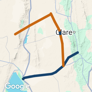
 Location:
 Length:
 Surface:
 Start / End:
 Suitable for:
The Copper Rail Trail and Shamus Liptrot Rail Trail extend from Port Wakefield to Halbury. The Copper Trail then uses 15km of gravel roads to connect with the Riesling Rail Trail at Leasingham. The Copper Rail Trail is often a bush track and the 15km road section has a steep road section.
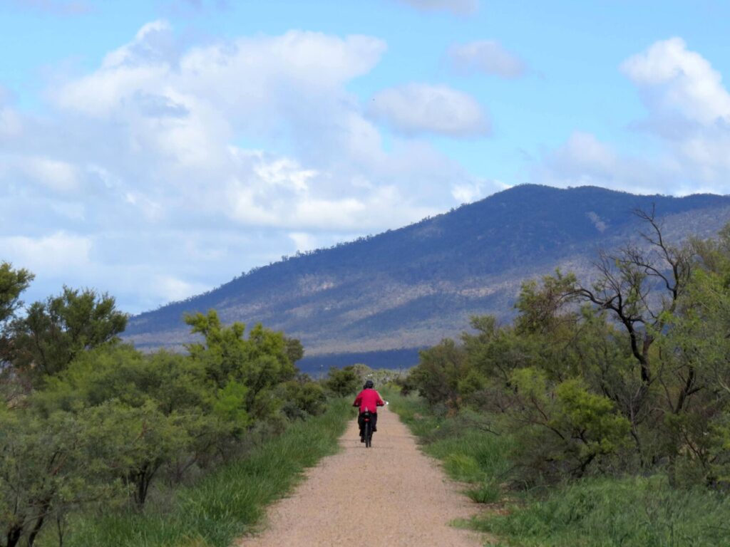
- A ‘bush track’ rail trail that provides a challenge for mountain bike riders
- Can be part of a longer gravel ride through the Wakefield Plains, Clare Valley and Yorke Peninsula
- Many historical features and structures
- Very welcoming communities
Nearby Attractions
- Walk the Yorke walking and cycling track trailhead in Port Wakefield
- Back-road route to the Riesling and Rattler Trail
- An area of century plants with 6 m high flower stalks
- Port Wakefield grand prix circuit
Last updated: 4 September 2025
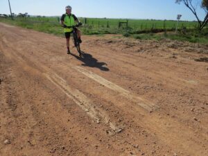
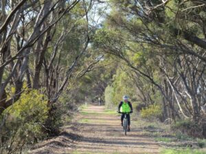
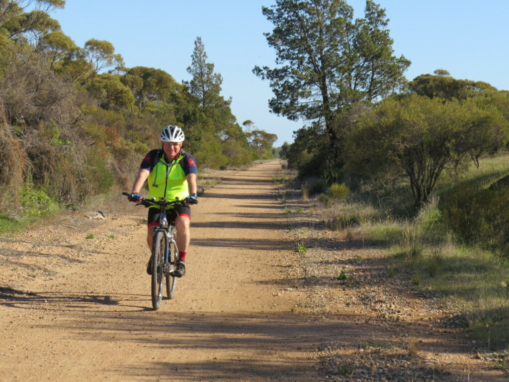
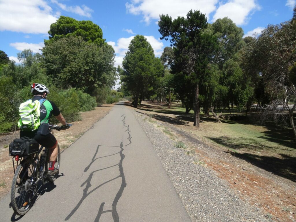
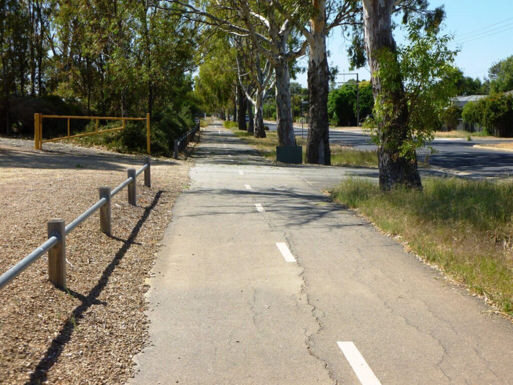
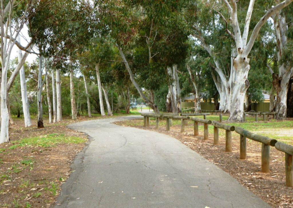
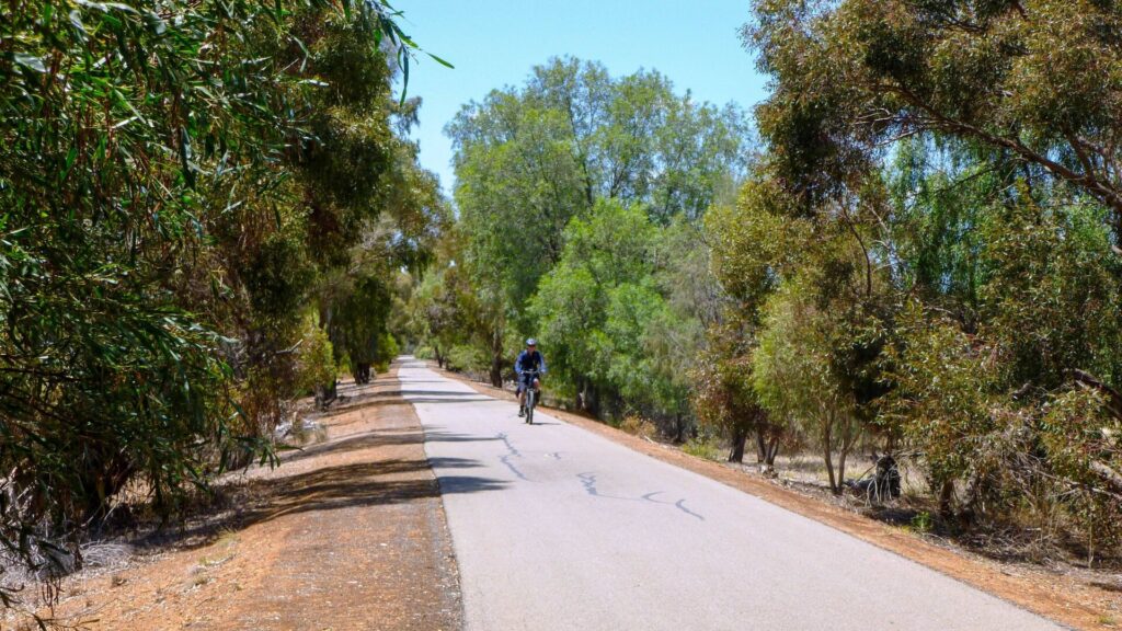
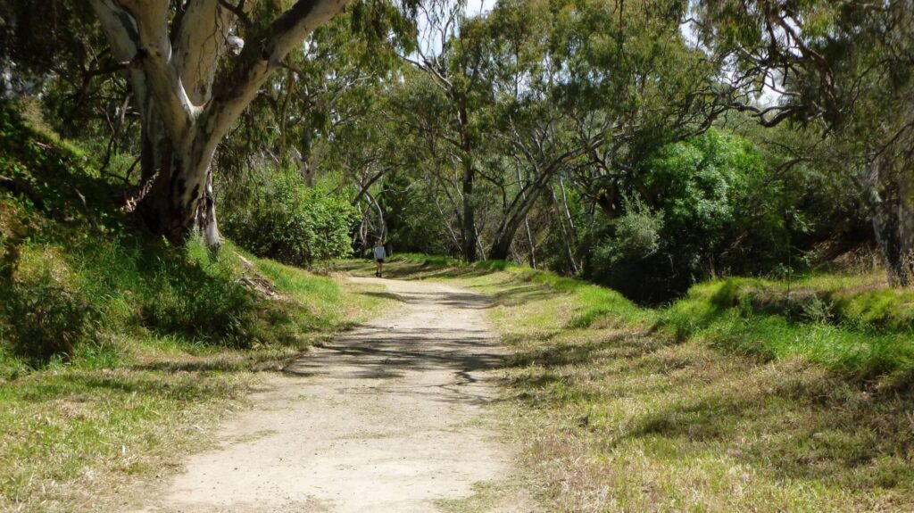
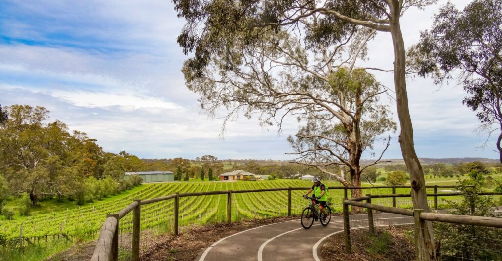
The trail surface varies from rubble/gravel to formed earth. It is suited to walkers and experienced MTB riders. Make sure you have water and food; there are no facilities between Port Wakefield and Balaklava. The trail runs between flat, open grain fields but, thanks to the efforts of locals who planted indigenous vegetation 30 years ago, the rail reserve now provides visitors with shade as well as more pleasant scenery.
The trail has four sections:
Port Wakefield to Bowmans (10 km): This part is flat and has a compacted earth surface with some loose sand. The corridor has some vegetation and the council plans to add more
Bowmans to Balaklava (15 km): There are some stretches of compacted earth, but this section is mainly compacted rubble/gravel with
Balaklava to Halbury (11 km): This section forms part of the Copper Rail Trail, but is called the Shamus Liptrot Rail Trail and is described in more detail on its own page
Section Guides
Port Wakefield to Bowmans (10 km)
- Port Wakefield is a busy town with good parking, cafes, a caravan park and amenities.
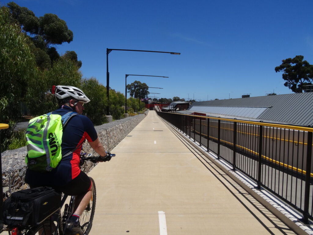
- The duplication of the Princes Hwy through the town has produced a concrete shared path but it stops short of the rail trail, on Port Wakefield Hwy
- Park around the corner on the northern side of Balaklava Rd (B84), near a water pumping station and the start of the trail
- After 6 km, the trail passes through a dense area of century plants (Agave americana), easily recognisable by their long, tapered, dull-grey-green leaves and 6 m tall flower spikes
- A further 2 km along, the trail crosses Egret Rd, where several railway sleepers were left in place when the rails were removed
- Take care at the railway crossing just before Bowmans. This is a major freight route and carries many high-speed trains each day
Bowmans to Balaklava (15 km)
- Bowmans was once a thriving railway town and many of the railway houses are still occupied. The goods platform is visible on the side of the trail
- Vegetation increases in the rail corridor as it heads towards Balaklava. There are small sections of old man saltbush and bullock bush, which were once common in the area
- A small section of railway line has been retained from Hudson to Whitwarta roads, and the original railway turntable is visible on the corner of Whitwarta and Balaklava roads.
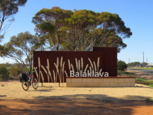
- Balaklava has good parking in Edith Tce, near shops and amenities, and a short distance from the trail at the junction of Hudson and Balaklava roads. There’s a pleasant caravan park.
![All that remains of Port Wakefield Station is these refreshment rooms [2023]](jpg/s23-150-port-wakefield-station-2023-06-img_4312-300x225.jpg)
All that remains of Port Wakefield Station is these refreshment rooms [2023]
![Times gone by between Port Wakefield and Bowmans [2020]](jpg/s23-105-bowmans-to-port-wakefield-2020-07-0718-300x225.jpg)
Times gone by between Port Wakefield and Bowmans [2020]
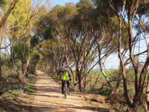
The trail has sections that are lined with native vegetation
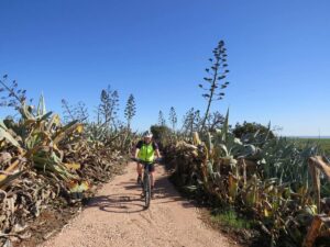
It also cuts through a large patch of towering century plants
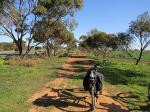
Compacted earth is one of the reasons we take mountain bikes
At Egret Rd, road traffic has exposed some of the original sleepers
Loose gravel section, of which there are numerous of the trail
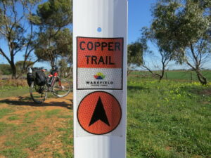
Trail distance markers are regular, but carry minimal information
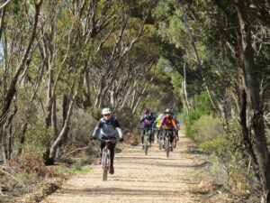
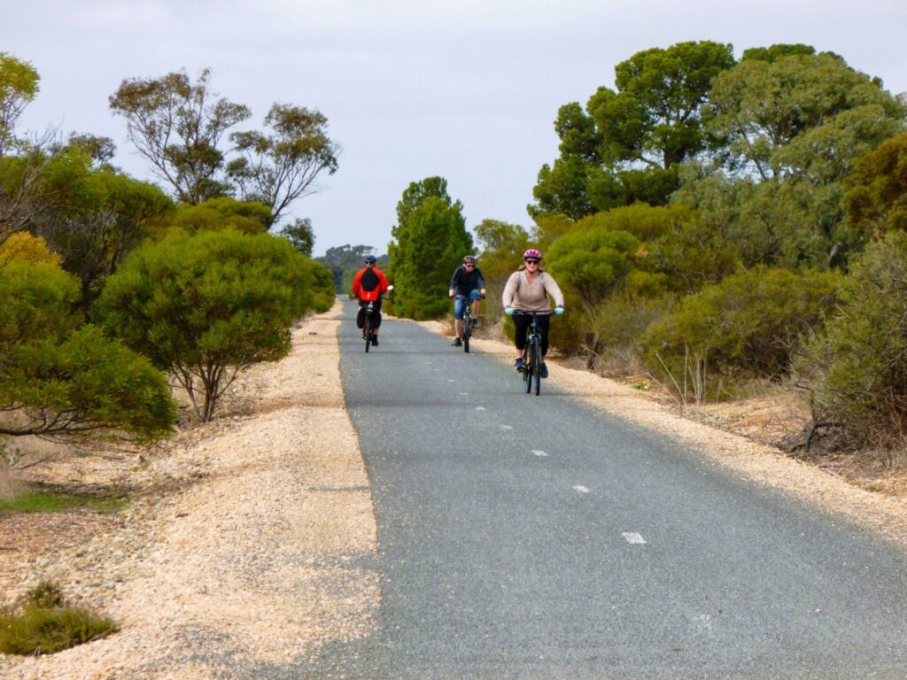
Not a bad spot for an up-and-back group ride
Just in case you weren't sure if you'd made it there
![Balaklava Railway Station boarded up and on private property [2025]](jpg/s23-050-balaklava-railway-station-boarded-up-2025-img_5850-300x225.jpg)
Balaklava Railway Station boarded up and on private property [2025]
![The Wool Rail Trail at Blyth [2025]](jpg/s23a-500-blyth-trail-looking-toward-station-area-aug-25-300x169.jpg)
The Wool Rail Trail at Blyth [2025]
![A view from the Wool Rail Trail just north of Blyth [2025]](jpg/s23a-505-011-wool-rail-trail-blyth-view-to-west-aug-25-300x225.jpg)
A view from the Wool Rail Trail just north of Blyth [2025]
Do you know of a bike hire or transportation service on this rail trail that should appear here? If so, let us know at admin@railtrails.org.au.
Information and Links
For more information, or to report problems:
- Wakefield Regional Council (08) 8862 1115
Contact Rail Trails Australia
To contact us about this rail trail, email sa@railtrails.org.au
Background Information
Traditional owners
We acknowledge the Kaurna and Ngadjuri people, the traditional custodians of the land and waterways on which the trail is built.
Rail history
Before the railway, bullock teams used the same route on their way from Burra’s copper mine to Port Wakefield. A private horse-drawn tramway was built from Port Wakefield to Balaklava and on to Hoyleton in 1869.
This was taken over by the SA Government and converted for steam trains. The line closed in 1984. The Copper Rail Trail goes another 11 km to Halbury, under the name Shamus Liptrot Rail Trail, but not as far as Hoyleton. There is a signed back-roads route to that town and over the range to Leasingham to join the Riesling and Rattler Trail.
Development and future of the Rail Trail
Wakefield Regional Council is planning to extend the trail beyond Halbury, following the unused rail corridor northward. It could ultimately connect with the Southern Flinders Rail Trail.
New Copper Rail Trail Opened in South Australia
Posted: 18/07/20
The Wakefield Regional Council, located in the mid north of South Australia, has constructed a 26...
More...Nearby Trails
Shamus Liptrot Rail Trail
Adelaide Plains, 100 km north of Adelaide
11 km


Wool Rail Trail
130 kms north of Adealide
2.2 km


Riesling and Rattler Trails
Clare Valley, 130 km north of Adelaide
53 km

Kapunda Rail Trail
78 km north of Adelaide
1 km

Eudunda Rail Trail
112 km north of Adelaide
1 km
Copper Coast Rail Trail
Yorke Peninsula, 150 km north of Adelaide
25 km
Barossa Rail Trail
Barossa Valley, 50 km north-east of Adelaide
43 km
Smithfield Magazine Rail Trail
33 km north of Adelaide CBD
3.5 km
Penfield railside trail
20 km north of Adelaide CBD
7 km
Parafield railside trail
15 km north of Adelaide CBD
3 km
Gawler Greenway railside trail
Adelaide CBD
14 km
Semaphore Rail Trail
16 km north-west of Adelaide CBD
4.2 km
Outer Harbor Greenway railside trail
Adelaide CBD
23 km
Stockade Rail Trail
11 km north of Adelaide CBD
2.6 km
O-Bahn Bikeway trail
Adelaide CBD
16 km
Southern Flinders Rail Trail
Flinders Ranges, 207 km north of Adelaide
80 km
Westside Bikeway rail trail
2 km west of Adelaide CBD
9 km
Mike Turtur Bikeway railside trail
Adelaide CBD
9 km
Coast Park Path Rail Trail
12km north-west of Adelaide CBD
25 km
Amy Gillett Bikeway rail trail
Adelaide Hills, 49 km east of CBD
23 km
Marino Rocks Greenway rail trail
Adelaide CBD
16 km
Nearby Trails
Shamus Liptrot Rail Trail
Adelaide Plains, 100 km north of Adelaide
11 km
Wool Rail Trail
130 kms north of Adealide
2.2 km
Riesling and Rattler Trails
Clare Valley, 130 km north of Adelaide
53 km
Kapunda Rail Trail
78 km north of Adelaide
1 km
Eudunda Rail Trail
112 km north of Adelaide
1 km
Copper Coast Rail Trail
Yorke Peninsula, 150 km north of Adelaide
25 km
Barossa Rail Trail
Barossa Valley, 50 km north-east of Adelaide
43 km
Smithfield Magazine Rail Trail
33 km north of Adelaide CBD
3.5 km
Penfield railside trail
20 km north of Adelaide CBD
7 km
Parafield railside trail
15 km north of Adelaide CBD
3 km
Gawler Greenway railside trail
Adelaide CBD
14 km
Semaphore Rail Trail
16 km north-west of Adelaide CBD
4.2 km
Outer Harbor Greenway railside trail
Adelaide CBD
23 km
Stockade Rail Trail
11 km north of Adelaide CBD
2.6 km
O-Bahn Bikeway trail
Adelaide CBD
16 km
Southern Flinders Rail Trail
Flinders Ranges, 207 km north of Adelaide
80 km
Westside Bikeway rail trail
2 km west of Adelaide CBD
9 km
Mike Turtur Bikeway railside trail
Adelaide CBD
9 km
Coast Park Path Rail Trail
12km north-west of Adelaide CBD
25 km
Amy Gillett Bikeway rail trail
Adelaide Hills, 49 km east of CBD
23 km
Marino Rocks Greenway rail trail
Adelaide CBD
16 km
9 reviews of “Copper Rail Trail”
27/70 Rode this one today, along with the Shamus Liptrot section, and many of the issues mentioned below remain. The concrete shared footpath built as part of the Princes Hwy duplication is great to get from Port Wakefield's town centre but stops about 700 m short of the signs marking the official start of the rail trail on Balaklava Rd. I assume this is a Wakefield Regional Council responsibility. Signs on the golf course fence are confusing. 'No entry' would be sufficient. The whole trail from Port Wakefield to Balaklava needs a road sweeper and roller. The loose sand bits are dangerous and the road apron is in better shape.
The track signage from Walk the Yorke sign starts well but at the intersection of Balaclava Road and Highway shows a sign about Golf Course but the track has disappeared, the newly constructed footpath is an obvious pathway to follow but does not connect to the start of the actual rail trail. Either widen the road for bike riders or continue a riding footpath to the start will make an excellent addition. Trail is definitely in need of loving care with rabbit holes and plenty of branches, rail spikes and rough railway rocks, nothing a good MTB couldn't handle. Good signage for distance along the way and when in need to go on the road over the train line. Scenery is average though and shade is scarce in most sections. Is the worst rail trail I've been on but has potential with investment of gravel to the surface. Makes a great link between the Shamus Liptrot trail, Walk the Yorke ride, Riesling trail and Lavender Trail.
started this trail from the Balaklava end on 25th of September 2024. Trail overgrown with weeds that have broken up the surface to make it almost unridable. Took 20 mins. to cover 2.5 kms, giving us no alternative to taking to the bitumen to get to Pt. Wakefield. This trail is in serious need of maintenance and upgrading. It is sad that it has been left to deteriorate to such a deplorable condition
Hi Ken, thanks for your feedback on the condition of the Copper Trail.
Our RTA regional rep has spoken to the Trail Manager regarding your comments, and he indicated that there was an issue with timing of the weed spraying of the trail. It took place far too late to have any impact on weed growth and as a result the Council will be undertaking a manual clearing process in the coming days. The manager of the trail has reviewed the entire length of the trail and once the weed clearing maintenance has been completed, he will undertake the necessary trail maintenance.
The trail requires some maintenance as small trees have taken root on the gravel track forcing detours. Near balaclava the trail is better maintained.
Grass Bird species include brown songlarks and singing bushlark, Red rumped parrot. A snake possibly eastern brown was lying across the track.
Having ridden approx 70% of the track my opinion is to avoid at all costs. Caltrop everwhere so bring plenty of tubes if you are brave enough to give it a try
Hi Steve, thanks for your comments relating to caltrop. I will let the local council know. I spoke with them last spring and they were predicting that spring and summer would see excessive and unwanted weed growth.
Regards Mark
While I appreciate the local community and the council providing this trail, unfortunately it is a bit of a goat track. We struggled on our electric mountain bikes – definitely not for road bikes
Rode this today. A "bush track" trail is an appropriate description. Trail best left for mountain bike riders, not recreational riders.