 Location:
 Length:
 Surface:
 Start / End:
 Suitable for:
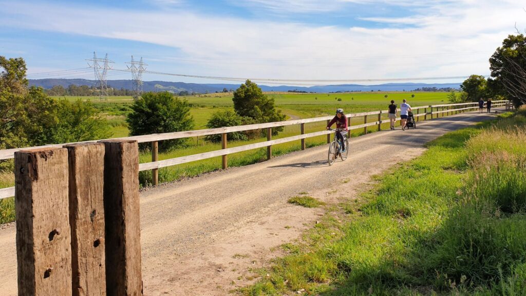
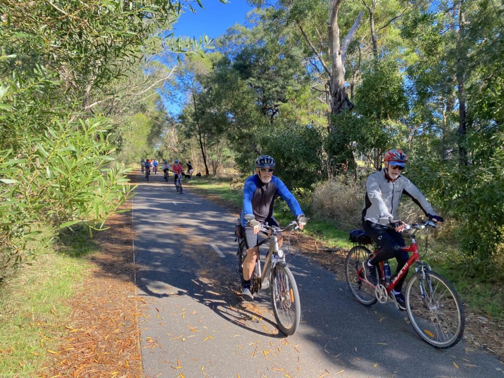
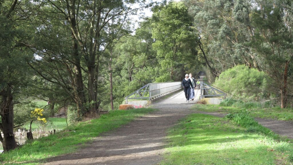
A surprising suburban shared path, the Ringwood to Belgrave rail trail (17km) gets more interesting as it joins the former route of the Puffing Billy Railway into the tall timber of the Dandenong Ranges.

- If you get tired on this ride, it’s easy to catch the train back
- There are many other shared paths and a number of excellent parks in the area
- This railside path follows an existing broad-gauge suburban line and a former narrow-gauge one
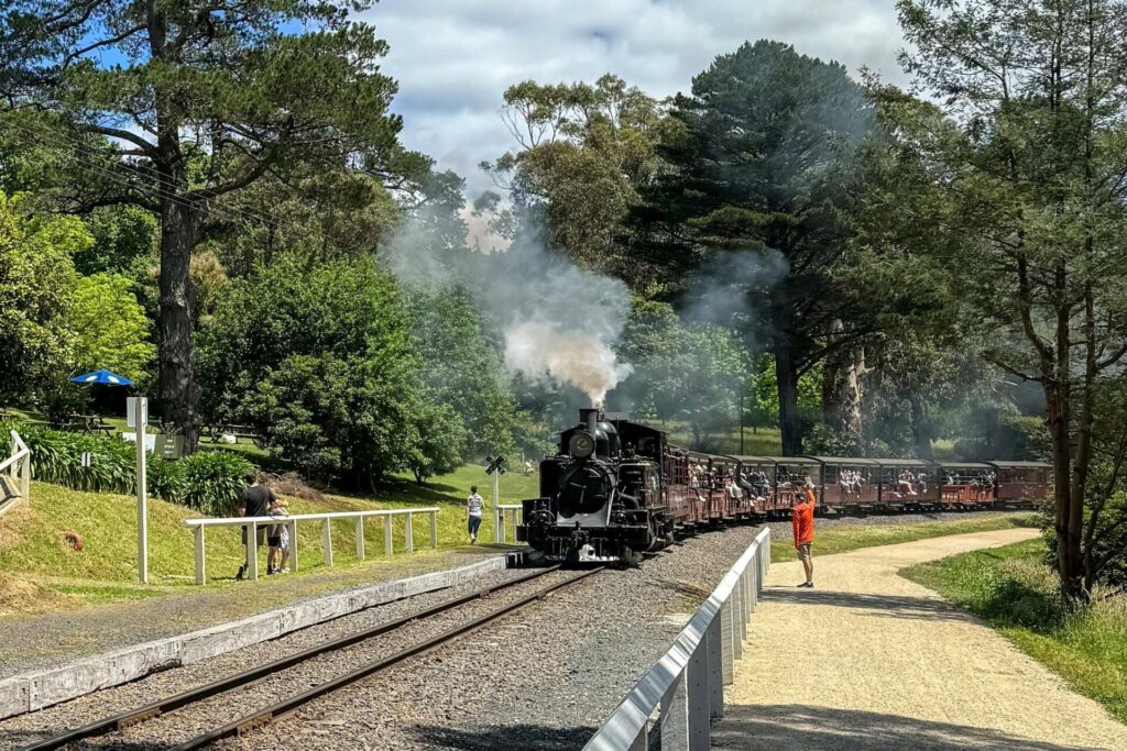
- In Belgrave it finishes metres from the terminus of the restored Puffing Billy service which runs to Gembrook
- From Ringwood you’ll travel through a variety of industrial and residential areas
Nearby Attractions
- The Puffing Billy narrow-gauge tourist railway from Belgrave to Gembrook
- Eastern Dandenong Ranges Trail is a railside shared path that shadows the Puffing Billy route from Clematis to Gembrook
- Kokoda Track Memorial Walk
- Mt Dandenong Scenic Lookout
- Alfred Nicholas Gardens
Last updated: 11 November 2025
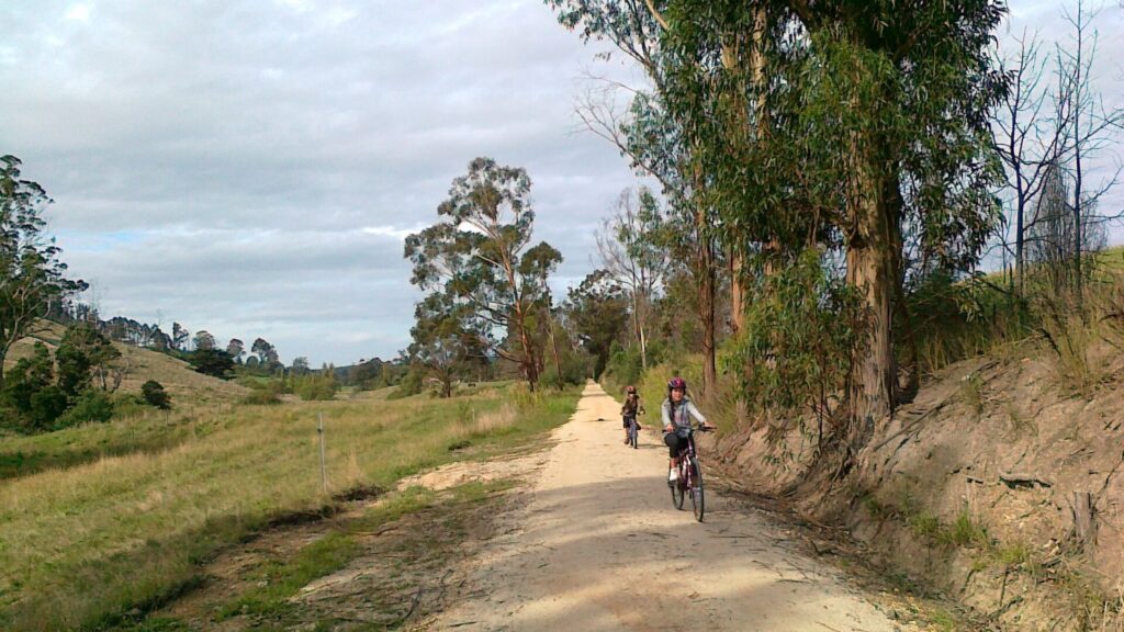
This trail runs beside the Belgrave suburban line from Ringwood, with a few station carparks to navigate along the way. From Upper Ferntree Gully, it is mainly asphalt and follows the route of the Puffing Billy Railway, which was replaced with a straighter, broad-gauge electrified line as far as Belgrave in 1962. Puffing Billy now operates from there to Gembrook. There is a reasonable climb into the Dandenong Ranges, with roadside shared path sections near Upwey and Tecoma and a steep section approaching Belgrave.
The main sections of the trail:
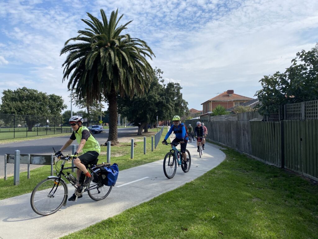
Ringwood to Ferntree Gully (10km): A wide shared path with a predominantly concrete surface that passes through a variety of suburbs
Ferntree Gully to Belgrave (7km): This section is a work in progress and mainly asphalt as it climbs into the hills
For public transport options go to ‘GET AROUND’ below
Section Guides
Ringwood to Ferntree Gully (10km)
- Access: Bedford Rd, Ringwood, with some car parking off Rosewarne La (Search: Bedford Park). Shared path from Ringwood Stn is incomplete
- Cross Bedford Rd at the pedestrian lights and proceed south towards Heathmont Station
- At Canterbury Rd, the trail switches to the other side of the railway corridor for the first of several times
- It’s then a pleasant run downhill to the Maroondah Nets stadium. A crushed granite path gets you through the stadium carpark to a short section of the Dandenong Creek Trail before you get back to the railway line, go under it and bear right onto the (un-signed) main part of the Ringwood to Belgrave Trail.
- Bayswater Station is 4km away and has parking and toilets (for Myki users) and a wide, shared path that goes over the railway cutting. Bayswater Park is a nice detour on the left before that bridge, with public toilets, picnic facilities and play equipment. At Scoresby Rd you need to cross at the lights to Power Rd, diagonally opposite. The excellent handiwork of an hot-mix paving machine starts shortly afterwards.
- At Boronia and Ferntree Gully stations, little provision has been made for trail users, with commuter carparks and narrow footpaths to negotiate. The trail switches sides again at the latter town via a level crossing and pedestrian crossing.
- Ringwood Plaza shopping centre is close to the start of the trail while Heathmont, Bayswater, Boronia and Ferntree Gully all have a wide range of shops and good facilities.
Ferntree Gully to Belgrave (7km)
- Access: There are regular Metro services to Ferntree Gully Station off Station St, where parking can be difficult (Search: Ferntree Gully Station Car Park East)
- As you continue climbing, the surroundings become leafier, the path gets rougher and the Dandenong Ranges start to tower above you. There are several options to get through Upper Ferntree Gully, where Puffing Billy used to start its run to Gembrook. There’s a shared path up and along Railway Ave and School Rd to a pedestrian crossing on Mt Dandenong Rd. There’s also a narrow gravel track from Railway Ave along Burwood Hwy to the same crossing point, plus a council-recommended route using the Ferny Creek Trail on the other side of the highway (see map)
- The climb to Belgrave, where signs call it the Belgrave Rail Trail, is not without its challenges, with roadside shared path sections at Upwey (from Main St to Glenfern Rd) and Tecoma (from Campbell St to McNicol Rd), but beyond there you get to travel along a couple of the curved embankments that the suburban trains have bypassed, and enjoy the regenerated bush
- Approaching Belgrave there’s a nasty little climb up to Blacksmiths Way from where you can exit into the shopping centre. Watch for the restrooms built between two shops on the station side of the retail strip
- Belgrave has a wide range of shops, cafes and an astrologer!
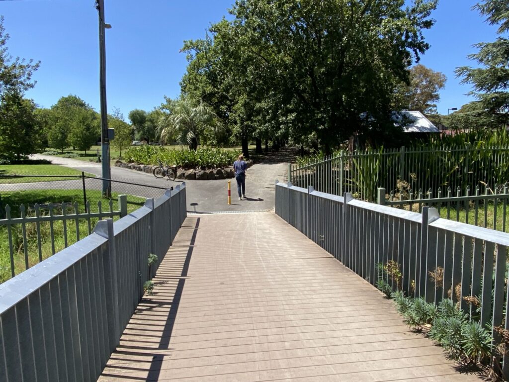
- You can continue to the Puffing Billy Railway Station by using the pedestrian bridge and ramp to the Metro platform and then walking through to the PBR one. There is no direct connection to the Eastern Dandenong Ranges Trail from here
- Can’t stand climbing? Make your “up” run on the Belgrave train before hitting the trail back down towards town from Blacksmiths Way. Parking can be difficult when Puffing Billy is operating but try the 640-space station carpark off Belgrave-Gembrook Rd
![Riders emerge at the Ringwood end of the trail at Bedford Rd [2024]](jpg/v07-050-riders-emerge-at-the-bedford-rd-trailhead.-metro-trains-signal-depot-to-left-of-shared-path-2024-300x225.jpg)
Riders emerge at the Ringwood end of the trail at Bedford Rd [2024]
![The former start of the trail at Lena Grove is now just an access point [2024]](jpg/v07-050-ringwood-belgrave-trail-the-lena-grove-entrance-now-also-serves-as-an-access-point-for-metro-maintenance-vehicles-10-2024-300x169.jpg)
The former start of the trail at Lena Grove is now just an access point [2024]
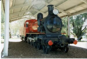
Plinthed steam engine for the kids is in nearby Belgrave Park
![Riding beside the railway at Bayswater [2008]](jpg/v07-100-bayswater-2008-03-5036-train-300x225.jpg)
Riding beside the railway at Bayswater [2008]
![Shared bridge over Forest Rd, Ferntree Gully, now has FRP grating surface [2023]](jpg/v07-100-shared-bridge-over-forest-rd-ferntree-gully-now-has-frp-grating-surface-2023-2074-300x225.jpg)
Shared bridge over Forest Rd, Ferntree Gully, now has FRP grating surface [2023]
![Heading down towards Bayswater from Ferntree Gully [2023]](jpg/v07-100-heading-down-from-ferntree-gully-2023-2069-300x225.jpg)
Heading down towards Bayswater from Ferntree Gully [2023]
![At Upper Fern Tree Gully, the broad-gauge trains terminated and the narrow-gauge ones took over to Gembrook [courtesy Puffing Billy Preservation Society]](jpg/v07-150-pbr-upper-ferntree-gully-station-history-300x231.jpg)
At Upper Fern Tree Gully, the broad-gauge trains terminated and the narrow-gauge ones took over to Gembrook [courtesy Puffing Billy Preservation Society]
![Checking the view of Melbourne from Upper Ferntree Gully [2023]](jpg/v07-150-checking-the-view-of-the-city-above-upper-ferntree-gully-2023-img_2342-300x225.jpg)
Checking the view of Melbourne from Upper Ferntree Gully [2023]
![An old PBR embankment near Belgrave, now shaded by ferns [2023]](jpg/v07-200-an-embankment-near-belgrave-now-covered-in-ferns-2023-img_2348-300x225.jpg)
An old PBR embankment near Belgrave, now shaded by ferns [2023]
![Blue strip leads visitors along Blacksmiths Way, Belgrave [2023]](jpg/v07-200-blue-coating-leads-the-way-in-blacksmiths-way-belgrave-2023-img_2351-225x300.jpg)
Blue strip leads visitors along Blacksmiths Way, Belgrave [2023]
Public Transport
Being a branch line from Metro’s Lilydale route, you can catch a Ringwood or Lilydale train as far as Ringwood and ride along Bedford Rd to get to the start of the Belgrave trail, subject to level-crossing removal works. Some may prefer to catch a Belgrave train to the end of the line and then cruise back down to Heathmont or Ringwood from the Dandenong Ranges
Refer to the PTV web page for maps and timetables, or use the navigation app of your choice.
Do you know of a bike hire or transportation service on this rail trail that should appear here? If so, let us know at admin@railtrails.org.au.
Information and Links
![]() The section between Ringwood and the Dandenong Creek Trail is managed by Maroondah City Council. Ph: 1300 88 22 33
The section between Ringwood and the Dandenong Creek Trail is managed by Maroondah City Council. Ph: 1300 88 22 33
Knox City Council manages the section from the Dandenong Creek Trail to a point just past the railway bridge at the intersection of Burwood Hwy and Mt Dandenong Tourist Rd in Upper Ferntree Gully. Ph: (03) 9298 800
In Upwey and beyond it is managed by Yarra Ranges Council. Ph: 1300 368 333
Contact Rail Trails Australia
To contact us about this rail trail, email vic@railtrails.org.au
Background Information
Traditional Owners
We acknowledge the Tableland Yidinji people, the traditional custodians of the land and waterways on which this rail-side path was built
Rail Line History
A narrow-gauge (2’6″) line from Upper Ferntree Gully to Gembrook opened in 1900, and the little steam locomotive soon became known as Puffing Billy. The line mainly carried passengers, timber and potatoes and although it was cheaper to build than a regular one, the cost of transferring goods to broad-gauge wagons at Upper Ferntree Gully meant it never made a profit.
A landslide at Selby in 1953 prompted the line’s closure. The Puffing Billy Preservation Society was formed and persuaded Victorian Railways to reopen the narrow-gauge line as far as Belgrave for a weekend tourist service.
During the standardisation and electrification of the line to Belgrave in the early ’60s, volunteers worked to restore the disused and overgrown narrow-gauge line beyond there. A diversion was created near Selby, and Puffing Billy reopened from Belgrave to Menzies Creek in 1962, Emerald in 1965, Emerald Lake (Lakeside) in 1975 and, finally, Gembrook in 1998.
Yarra Ranges Goes All Out
Posted: 11/11/25
Cog Bikes & Brew Cafe in Warburton [2024]‘You ...
More...More Parking for Belgrave Rail Trail
Posted: 09/11/25
The new car park is complete but a shared ...
More...Trail hits Ringwood
Posted: 06/10/24
The Ringwood to Belgrave Trail has made it tantalizing close to the Melbourne suburb’s ...
More...Belgrave Trail Boost
Posted: 06/07/24
The south-eastern end of the Heathmont to Belgrave Trail in Melbourne has received some long-overdue ...
More...Ringwood gets closer
Posted: 10/01/23
The Heathmont to Belgrave Trail in outer Melbourne will become more usable with the Level ...
More...Nearby Trails
Eastern Dandenong Ranges Trail
Dandenongs, 50km south-east of CBD
15 km


Warburton Rail Trail/Yarra Valley Trail
Yarra Valley, 50km east of Melbourne CBD
48 km


Outer Circle Rail Trail
Eastern suburbs, 6km from Melbourne CBD
17 km

Rosstown Rail Trail
Southern suburbs, 9km from the CBD
9 km
Hawthorn to Kew Rail Trail
Inner suburbs, 9km east of Melbourne CBD
1 km
Inner Circle Rail Trail
Inner suburbs, 5km from the CBD
5 km
Sandridge Rail Trail
Melbourne city, 1km from GPO
4 km
Webb Dock Bridge
Docklands, 1 km south-west of Melbourne GPO
0.2 km
Meadowlink Linear Park
Broadmeadows, 20km north of CBD
1.2 km
Mornington Rail Trail
Mornington Peninsula, 60km south of CBD
4 km
Powelltown Tramway Trails
Yarra Ranges, 80km east of Melbourne
39 km
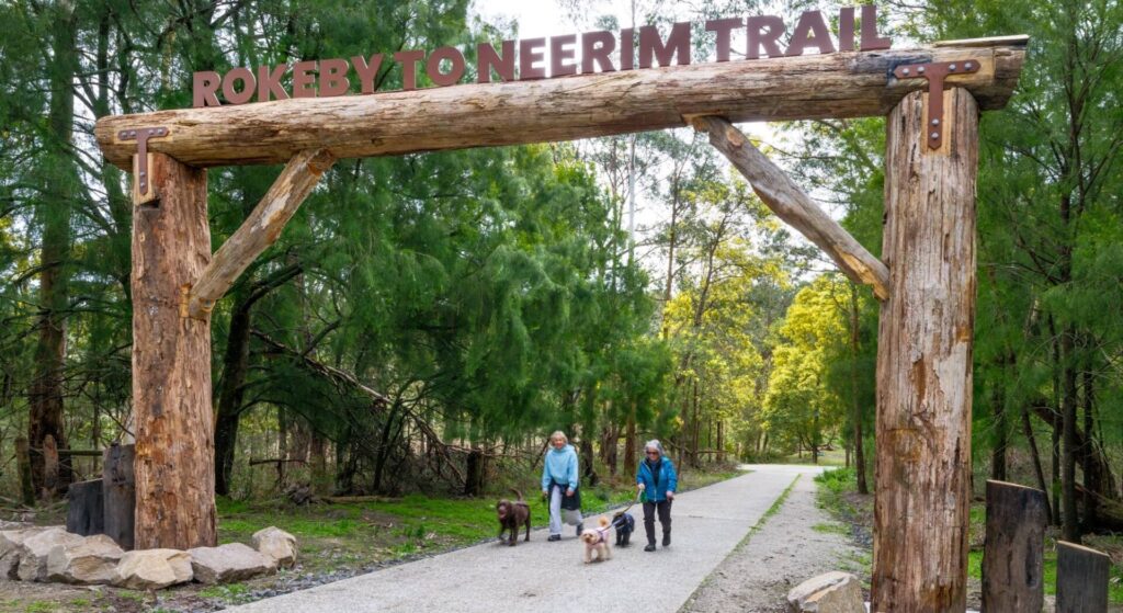
Rokeby to Neerim Railside Trail
West Gippsland, 100km from Melbourne
17 km
Red Hill Rail Trail
Mornington Peninsula, 90km south of CBD
6.3 km
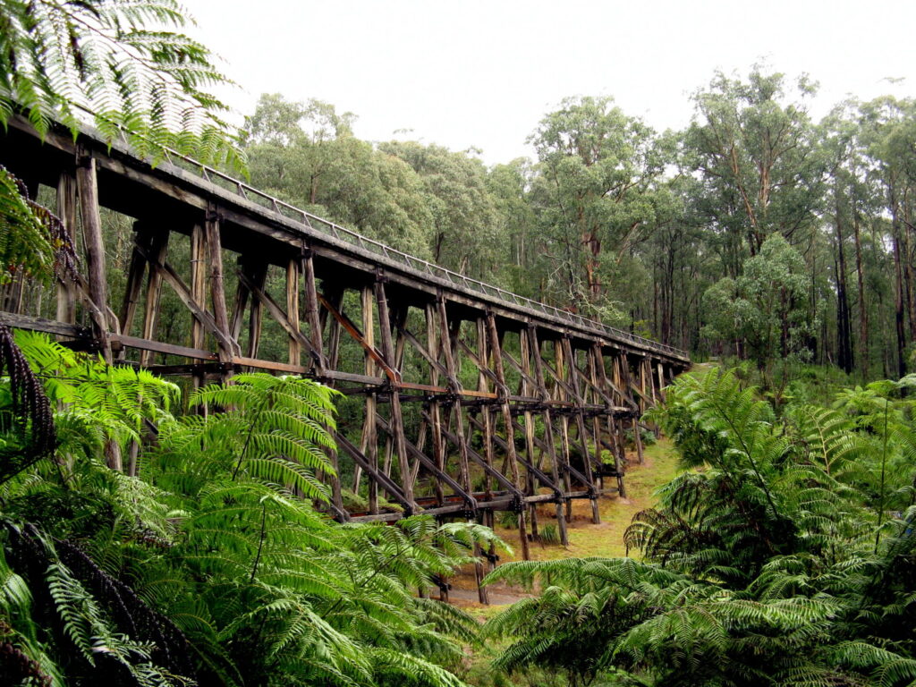
Noojee Trestle Bridge Rail Trail
West Gippsland, 100 km east of Melbourne
3 km
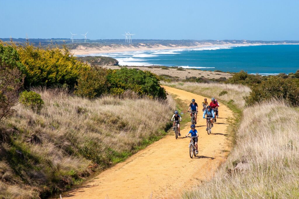
Bass Coast Rail Trail
Bass Coast, 130km south-east of Melbourne
23 km
Bellarine Rail Trail
Bellarine Peninsula, 75km south-west of Melbourne CBD
35 km
Great Victorian Rail Trail
90km north of Melbourne
135 km
Fyansford Rail Trail
North Geelong, 5km from town centre
4.4 km
Tyers Junction Rail Trail
Baw Baw Ranges, 30km north of Moe
7 km
Moe – Yallourn Rail Trail
Latrobe Valley, 130km east of Melbourne
7.2 km
Grand Ridge Rail Trail
Strzelecki Ranges, 160km east of Melbourne
13 km
Erica to Thomson Rail Trail
Baw Baw Ranges, 165km east of Melbourne
7.3 km
Great Southern Rail Trail
South Gippsland, 130km south-east of Melbourne
136 km
Woodend to Daylesford (incl Domino) Rail Trail
Goldfields, 85km north-west of Melbourne
6 km
O’Keefe Rail Trail
Goldfields region,150km north of Melbourne
49 km
Nearby Trails
Eastern Dandenong Ranges Trail
Dandenongs, 50km south-east of CBD
15 km
Warburton Rail Trail/Yarra Valley Trail
Yarra Valley, 50km east of Melbourne CBD
48 km
Outer Circle Rail Trail
Eastern suburbs, 6km from Melbourne CBD
17 km
Rosstown Rail Trail
Southern suburbs, 9km from the CBD
9 km
Hawthorn to Kew Rail Trail
Inner suburbs, 9km east of Melbourne CBD
1 km
Inner Circle Rail Trail
Inner suburbs, 5km from the CBD
5 km
Sandridge Rail Trail
Melbourne city, 1km from GPO
4 km
Webb Dock Bridge
Docklands, 1 km south-west of Melbourne GPO
0.2 km
Meadowlink Linear Park
Broadmeadows, 20km north of CBD
1.2 km
Mornington Rail Trail
Mornington Peninsula, 60km south of CBD
4 km
Powelltown Tramway Trails
Yarra Ranges, 80km east of Melbourne
39 km
Rokeby to Neerim Railside Trail
West Gippsland, 100km from Melbourne
17 km
Red Hill Rail Trail
Mornington Peninsula, 90km south of CBD
6.3 km
Noojee Trestle Bridge Rail Trail
West Gippsland, 100 km east of Melbourne
3 km
Bass Coast Rail Trail
Bass Coast, 130km south-east of Melbourne
23 km
Bellarine Rail Trail
Bellarine Peninsula, 75km south-west of Melbourne CBD
35 km
Great Victorian Rail Trail
90km north of Melbourne
135 km
Fyansford Rail Trail
North Geelong, 5km from town centre
4.4 km
Tyers Junction Rail Trail
Baw Baw Ranges, 30km north of Moe
7 km
Moe – Yallourn Rail Trail
Latrobe Valley, 130km east of Melbourne
7.2 km
Grand Ridge Rail Trail
Strzelecki Ranges, 160km east of Melbourne
13 km
Erica to Thomson Rail Trail
Baw Baw Ranges, 165km east of Melbourne
7.3 km
Great Southern Rail Trail
South Gippsland, 130km south-east of Melbourne
136 km
Woodend to Daylesford (incl Domino) Rail Trail
Goldfields, 85km north-west of Melbourne
6 km
O’Keefe Rail Trail
Goldfields region,150km north of Melbourne
49 km
11 reviews of “Ringwood to Belgrave Trail”
Ideal for young cyclists who may not be able to cycle the distance and can just hop on a train anywhere along the way.
Poorly signposted so make sure you have a map
3.1 / 5
60/70 Rode up and back and was glad to grab a hot chocolate as it was cafe closing time. Good to see Yarra Ranges have plans for more improvements.
A very easy ride if going from Belgrave to Ringwood; virtually all downhill. It is a very good surface. I found signage pretty good.
Thanks are due to City of Maroondah for fixing the wayfinding signs near the Maroondah Nets stadium.
At Upper Ferntree Gully the route along Railway Ave (asphalt) or next to Burwood Hwy (gravel) are the easiest to follow but the one on the shared path via Forest Oak Drive, Ferny Creek Trail, Rollings Rd and Talaska Rd is safer and lets you save energy for the climb to Belgrave. The official name now is Heathmont to Belgrave Trail.
I would not even call this a rail trail. It’s a collection of shared pathways that do not connect, being passed off as a rail trail. Signage is poor and there are too many intersections/roads/carparks to navigate to make this enjoyable. I won’t be riding it again. Make sure you have looked on the rail trail map beforehand or use a navigation device with a map, so you know exactly where to go.
Indeed, this is a railside trail, as the railway remains in daily operation. However, the continuity of this shared path from Ringwood is generally very good, except for one disappointing supermarket carpark in Boronia, a difficult connection at Upper Ferntree Gully, and a couple of road crossings at Upwey and Tecoma. As with all bike paths in Melbourne, signage is generally very poor. Be sure to let the local councils (trail managers) know of these failings.
11/27. Number 11 railtrail completed on my quest to ride everyone in Victoria this year. A short one and all downhill from Blegrave to Upper Fern Tree Gully, and then onto Bayswater. The section to UFTG is a little hard to follow at times when it suddenly vears off to run alongside Burwood Hwy, and there should be more signage in better places along here. But after negotiating the station car park at UFTG, it is easy to follow. I have ridden this section dozens of times, and it has much improved since the rail crossing works at Bayswater delivered an upgrade to the rail trail as well.
You can follow my other rail trail exploits on FB Warwick Duncan – The 2nd Chance Man or Insta @warwick_rides.
Had an enjoyable Saturday morning ride out to Belgrave from home in Blackburn North. Fantastic trail because of its easy linkages to the metropolitan path network. I’d argue that except for the fantastic part winding through the bush from Tecoma to Belgrave it’s not really a rail trail (where you follow the old gauge) more a track that flows alongside what is one of Melbourne’s busiest suburban train lines.
The major issues I have with the trail are the gaps where you have to find your way through intersections which are pretty busy and not helped by the major problem of a lack of signage to direct. I think with decent signage you could more easily forgive the gaps and it would also make drivers aware of cyclists too at some seriously busy intersections.
The positives though are Belgrave is a lovely place to get to and have a coffee or lunch before returning. The return is probably the most spectacular scenery in that you look back over Melbourne’s eastern suburbs all the way to the Bay – you are descending too which is a lovely reward for the steady uphill (and some really nasty pinches) that you achieved getting to Belgrave.
I rode this trail this afternoon (Sunday 1st March 2015) – this is a good rail trail in Melbourne, the surface is almost completely sealed the whole way, so any bicycle will be able to ride it – and I saw a number of riders on road bikes that appeared to have no problems. I found there were two major issues with this trail – firstly at Upper Ferntree Gully the track crossing Burwood highway and going under the rail bridge is very poor quality – to be honest, I believe it is better to cross to the other side of Burwood highway at the station and ride up the service lane. The second problem is you need to transverse through both Boronia and Ferntree Gully stations’ carparks. Drivers are not on the lookout for riders – so be careful (especially at Boronia Junction). The section between Upwey and Belgrave has some steep climbs up small hills – which can be. All in all, a very good trail.
This a great little trail for railway history buffs. Near Tecoma you get to ride or walk on the original narrow gauge embankments which were bypassed when the line was rebuilt in broad gauge.