 Location:
 Length:
 Surface:
 Start / End:
 Suitable for:
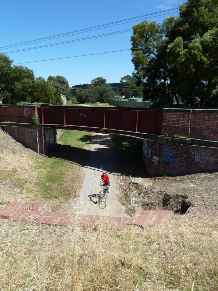
Blink and you'll miss this remnant of a railway line that once went to Webb Dock along Lorimer St, Port Melbourne.

- To see what happens when a railway bridge is turned into an “eel trap” sculpture
- You can marvel at the potential extension of this rail trail along Lorimer St
- Next to the railway corridor, Westgate Park is worth exploring
Nearby Attractions
- Docklands and Docklands Stadium
- Bay Trail
- Westgate Park
- Sandridge Railside Trail
- Capital City Trail
- Royal Botanic Gardens
Last updated: 8 January 2026
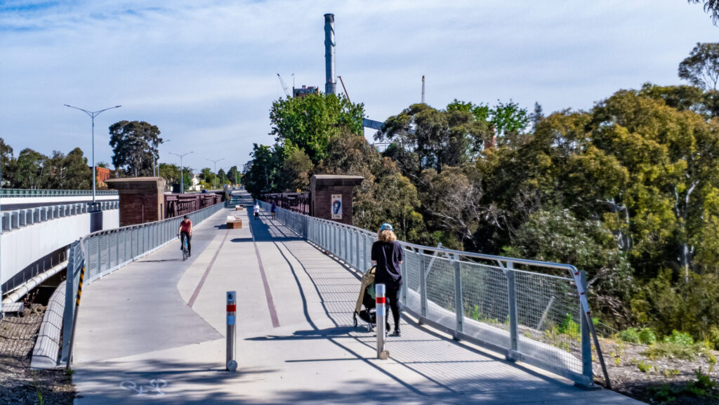
The heavily modified Webb Dock Bridge runs parallel to the Charles Grimes road bridge and provides a shared-path connection over the Yarra between Docklands and Southbank, which is useful when you’re checking out all the other paths and attractions in the area.
Access: You can reach the bridge from Docklands Park on Harbour Esplanade, which runs parallel to the Capital City Trail and a tram route. (Search: ‘7 Navigation Drive’)
For public transport options go to ‘GET AROUND’ below
![On Webb Bridge looking south towards the Yarra's Edge towers [2015]](jpg/6121605538443-300x200.jpg)
On Webb Bridge looking south towards the Yarra's Edge towers [2015]
![Webb Bridge looking from Southbank towards the CBD [2005]](jpg/2911605538442-300x225.jpg)
Webb Bridge looking from Southbank towards the CBD [2005]
![Navigating the spiral near the southern end of the bridge [2015]](jpg/9021605538443-300x200.jpg)
Navigating the spiral near the southern end of the bridge [2015]
![The award-winning Webb Bridge's southern exit [2005]](jpg/5531605538442-300x225.jpg)
The award-winning Webb Bridge's southern exit [2005]
![Webb Bridge precinct on the north side of Yarra River [2005]](jpg/1071605538442-300x225.jpg)
Webb Bridge precinct on the north side of Yarra River [2005]
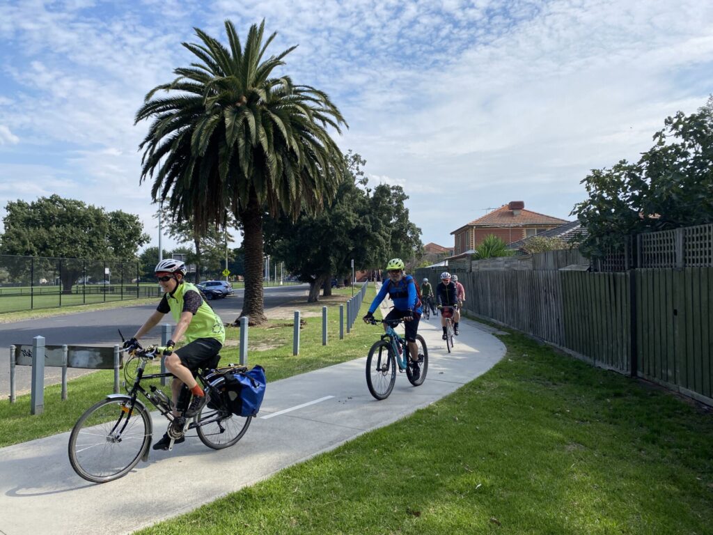
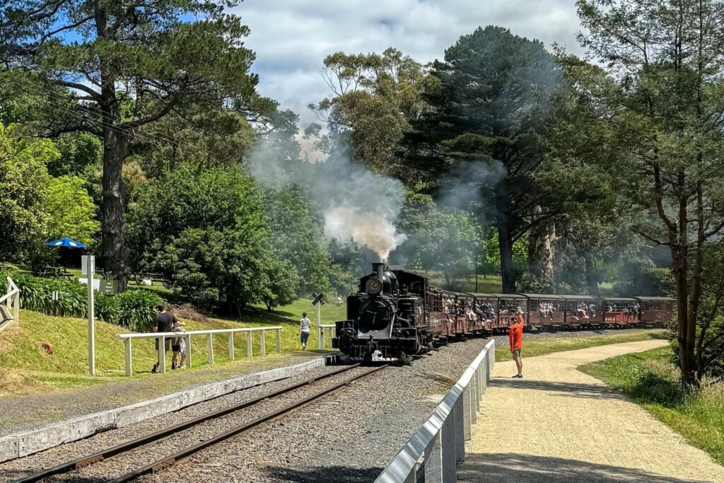
![Lorimer St carries a lot of traffic and the shared path is incomplete [2023]](jpg/v08-150-lorimer-st-todd-rd-intersection-train-tracks-2705-300x225.jpg)
Lorimer St carries a lot of traffic and the shared path is incomplete [2023]
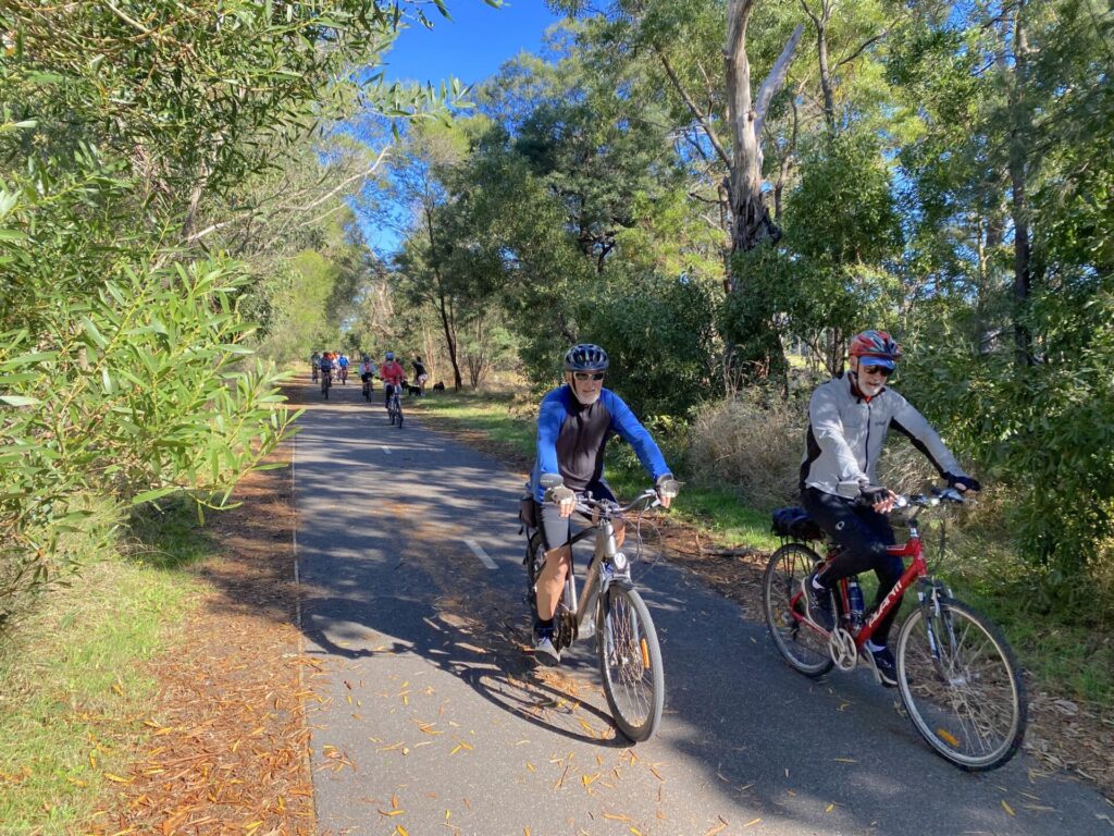
![Looking west along Todd Rd before line travels behind Westgate Park [2023]](jpg/v08-150-rail-crossing-signals-still-in-place-on-lorimer-st-east-2023-300x225.jpg)
Looking west along Todd Rd before line travels behind Westgate Park [2023]
Public Transport
The free Route 35 City Circle tram service runs fairly close to the northern end of the Webb Bridge about every 15 minutes from 10am to 6pm every day, except Christmas and Good Friday, but this only takes walkers. Nearest train stations are Southern Cross and Flinders St where most services stop. From there you’ll need to follow our map.
Refer to the PTV web page for map and timetables, or the navigation app of your choice.
Do you know of a bike hire or transportation service on this rail trail that should appear here? If so, let us know at admin@railtrails.org.au.
Contact Rail Trails Australia
To contact us about this rail trail, email vic@railtrails.org.au
Background Information
Traditional Owners
We acknowledge the Woiworung people, the traditional custodians of the land and waterways on which the rail trail is built.
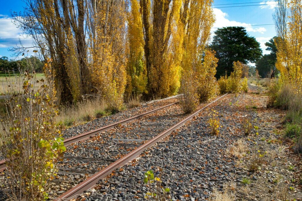
Railway history
The Webb Dock Line was only open from 1986 to 1996 and some of the tracks remain in place along Lorimer St. The bridge’s shape was changed considerably to blend in with its surroundings, especially the aboriginal “fishing net” shape on the Yarras Edge side. A proposal (first raised in March, 2014) to develop the unused rail corridor along Lorimer St, down Todd Rd, through Westgate Park and along the south side of the Westgate Freeway is dependent on decisions involving the redevelopment of Fishermans Bend.
The Victorian Government released its vision for the Fishermans Bend suburb in 2017 that would entail new public transport and cycling routes. It is expected that once the sites are decided for Melbourne Metro Two’s subway stations, detailed planning for the rest of the transport network will proceed. The repurposing of the rail corridor remains an exciting opportunity for an attractive urban rail trail.
Nearby Trails
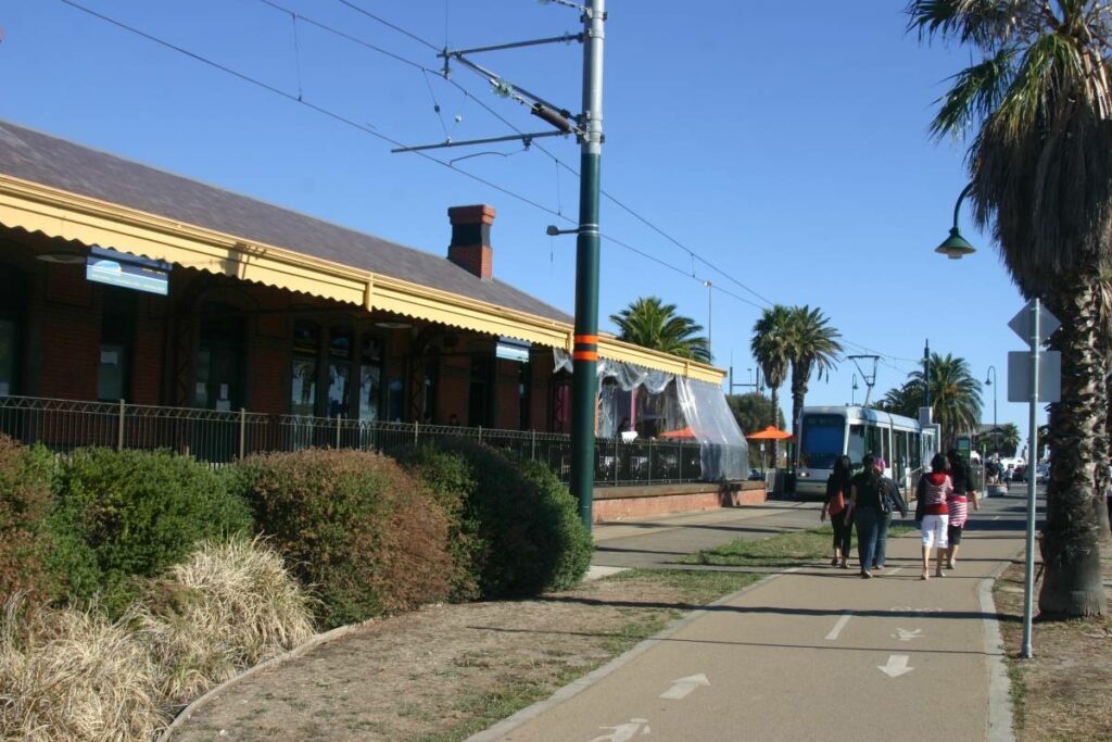
Sandridge Rail Trail
Melbourne city, 1km from GPO
4 km


Inner Circle Rail Trail
Inner suburbs, 5km from the CBD
5 km
Hawthorn to Kew Rail Trail
Inner suburbs, 9km east of Melbourne CBD
1 km
Outer Circle Rail Trail
Eastern suburbs, 6km from Melbourne CBD
17 km
Rosstown Rail Trail
Southern suburbs, 9km from the CBD
9 km
Meadowlink Linear Park
Broadmeadows, 20km north of CBD
1.2 km
Ringwood to Belgrave Trail
40km east of Melbourne CBD
17 km
Mornington Rail Trail
Mornington Peninsula, 60km south of CBD
4 km
Eastern Dandenong Ranges Trail
Dandenongs, 50km south-east of CBD
15 km
Warburton Rail Trail/Yarra Valley Trail
Yarra Valley, 50km east of Melbourne CBD
48 km

Bellarine Rail Trail
Bellarine Peninsula, 75km south-west of Melbourne CBD
35 km
Fyansford Rail Trail
North Geelong, 5km from town centre
4.4 km
Red Hill Rail Trail
Mornington Peninsula, 90km south of CBD
6.3 km
Powelltown Tramway Trails
Yarra Ranges, 80km east of Melbourne
39 km
Woodend to Daylesford (incl Domino) Rail Trail
Goldfields, 85km north-west of Melbourne
6 km
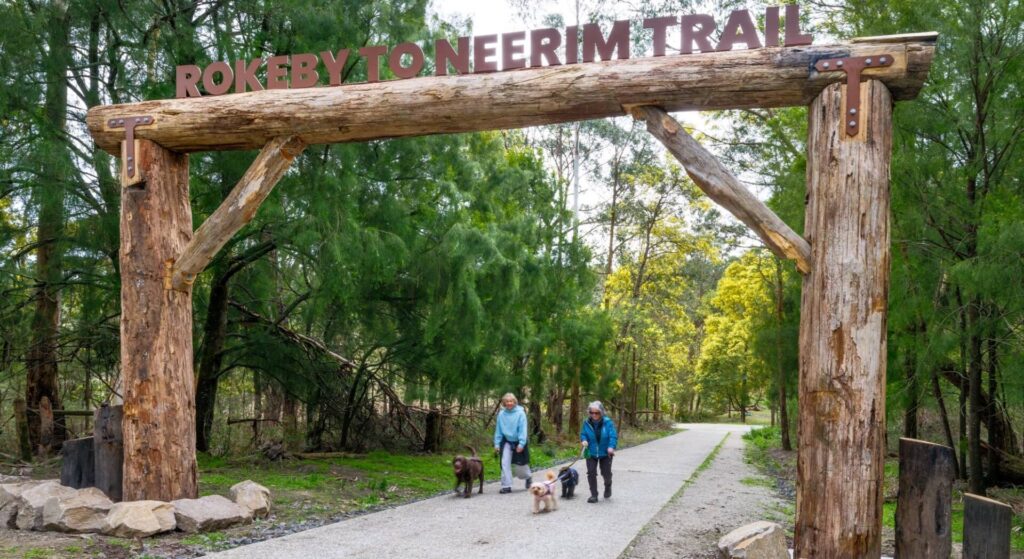
Rokeby to Neerim Railside Trail
West Gippsland, 100km from Melbourne
17 km
Bass Coast Rail Trail
Bass Coast, 130km south-east of Melbourne
23 km
Noojee Trestle Bridge Rail Trail
West Gippsland, 100 km east of Melbourne
3 km
Great Victorian Rail Trail
90km north of Melbourne
135 km
Bunny Trail
110 km west of Melbourne
1.2 km
O’Keefe Rail Trail
Goldfields region,150km north of Melbourne
49 km
Castlemaine-Maryborough Rail Trail
Central Victoria, 124 km from Melbourne

Castlemaine to Maldon Trail
120 km north west of Melbourne
18 km
Ballarat-Skipton Rail Trail
110 km north-west of Melbourne
57 km
Nearby Trails
Sandridge Rail Trail
Melbourne city, 1km from GPO
4 km
Inner Circle Rail Trail
Inner suburbs, 5km from the CBD
5 km
Hawthorn to Kew Rail Trail
Inner suburbs, 9km east of Melbourne CBD
1 km
Outer Circle Rail Trail
Eastern suburbs, 6km from Melbourne CBD
17 km
Rosstown Rail Trail
Southern suburbs, 9km from the CBD
9 km
Meadowlink Linear Park
Broadmeadows, 20km north of CBD
1.2 km
Ringwood to Belgrave Trail
40km east of Melbourne CBD
17 km
Mornington Rail Trail
Mornington Peninsula, 60km south of CBD
4 km
Eastern Dandenong Ranges Trail
Dandenongs, 50km south-east of CBD
15 km
Warburton Rail Trail/Yarra Valley Trail
Yarra Valley, 50km east of Melbourne CBD
48 km
Bellarine Rail Trail
Bellarine Peninsula, 75km south-west of Melbourne CBD
35 km
Fyansford Rail Trail
North Geelong, 5km from town centre
4.4 km
Red Hill Rail Trail
Mornington Peninsula, 90km south of CBD
6.3 km
Powelltown Tramway Trails
Yarra Ranges, 80km east of Melbourne
39 km
Woodend to Daylesford (incl Domino) Rail Trail
Goldfields, 85km north-west of Melbourne
6 km
Rokeby to Neerim Railside Trail
West Gippsland, 100km from Melbourne
17 km
Bass Coast Rail Trail
Bass Coast, 130km south-east of Melbourne
23 km
Noojee Trestle Bridge Rail Trail
West Gippsland, 100 km east of Melbourne
3 km
Great Victorian Rail Trail
90km north of Melbourne
135 km
Bunny Trail
110 km west of Melbourne
1.2 km
O’Keefe Rail Trail
Goldfields region,150km north of Melbourne
49 km
Castlemaine-Maryborough Rail Trail
Central Victoria, 124 km from Melbourne
Castlemaine to Maldon Trail
120 km north west of Melbourne
18 km
Ballarat-Skipton Rail Trail
110 km north-west of Melbourne
57 km
5 reviews of “Webb Dock Bridge”
Lorimer St is risky beyond the Bolte Bridge as there are numerous kerb crossings and lots of commercial traffic during the week.
Lovely brutalist style bridge, cool curved cornering at the southern end and accessible from the Sandridge (Port Melbourne) rail trail however this review is longer than the 188m trail (not 0.5km). Moving on to the next one.
That distance is fixed
Very easy and busy walkway that basically connects main part of Docklands to South Wharf. The shortest of the rail trails to complete in Victoria.
I rode this trail this morning (Tuesday 3rd April 2015), along with the Sandridge railway trail. It was a great morning for a bike ride along the Yarra – and the amount of development on the south bank is impressive. The actually Web bridge is a great crossing point – though the south end is curved, so going slow is necessary to make sure you don’t run into anyone. The biggest problem is signage needs to be improved – I found it hard to follow them to connect to the nearby trails.