 Location:
 Length:
 Surface:
 Start / End:
 Suitable for:
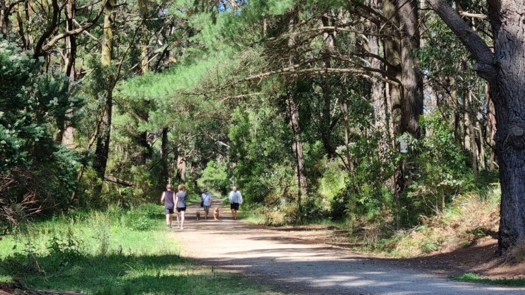
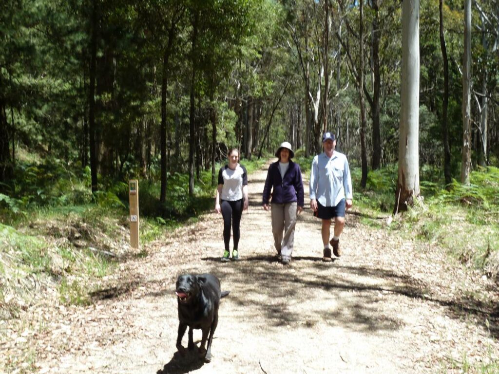
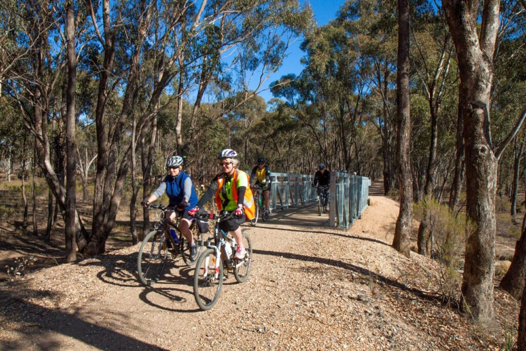
An entry-level rail trail of 5km that follows the route of the Inner Circle Line past the Melbourne Zoo, numerous parks, cafes and a sizeable collection of the city's preserved Victorian homes.

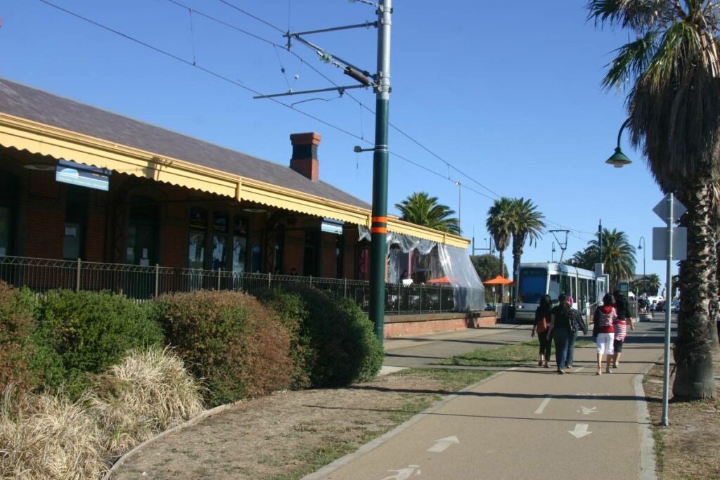
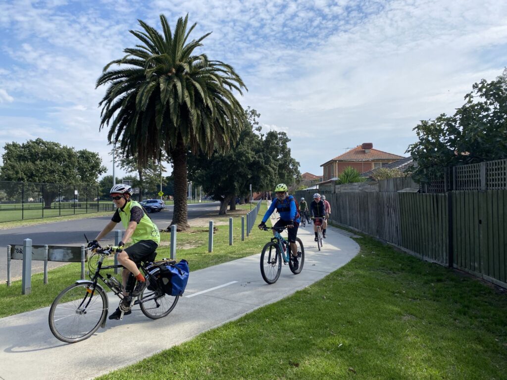
- This shared path is part of the very popular Capital City Trail that runs around inner Melbourne
- There are lots of cafes nearby, as well as Edinburgh Gardens, which is a popular picnic spot
- All major road crossings have traffic signals and some others have priority crossings
- It’s a great commuting route for local cyclists and handy for visitors
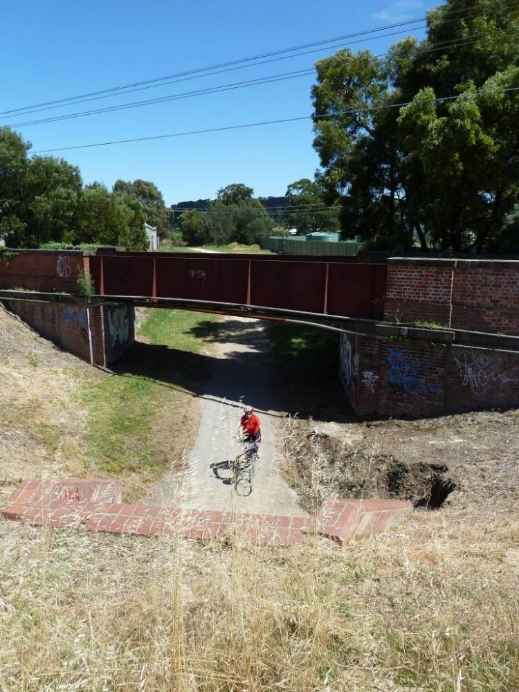
- Significant remnants of railway infrastructure
Nearby Attractions
- Merri Creek Trail
- Melbourne Zoo
- Royal Park walking tracks
- The restored railway station at North Carlton
- Cafes, pubs and eateries
Last updated: 2 January 2026
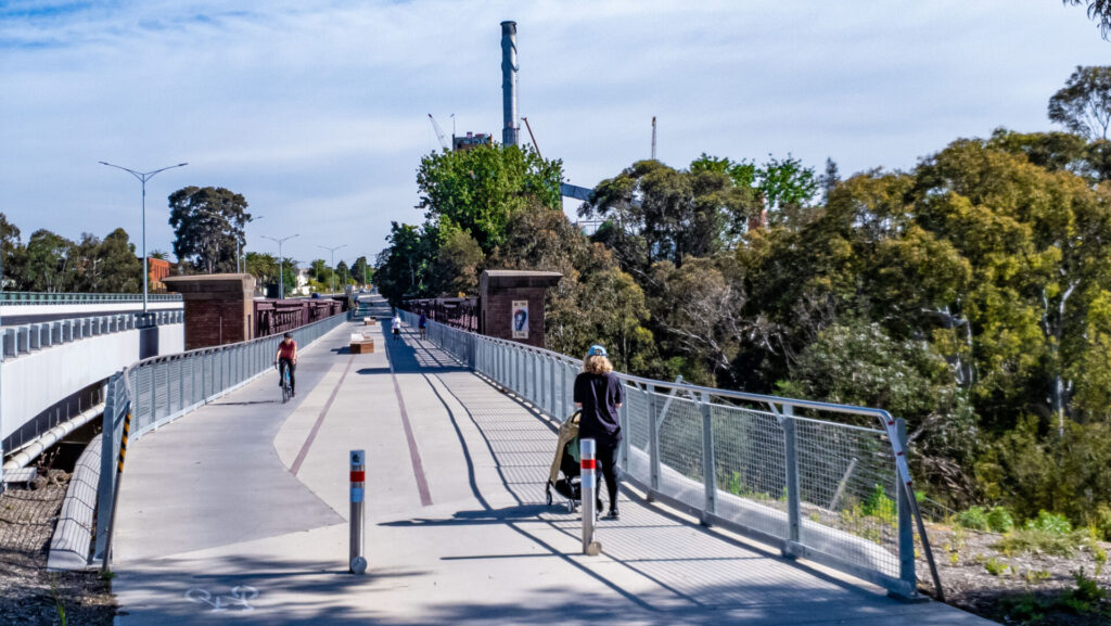
This shared path, which replaced a railway line running between Royal Park and Rushall stations, is a wonderful introduction to rail trails for the whole family, with easy gradients and parks, play equipment and cafes to break the journey. The remaining railway infrastructure is a great talking point for first-time visitors.
For public transport options go to ‘GET AROUND’ below and click on ‘SHOW MORE’
Section Guides
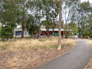
Royal Park to North Carlton (1.4km)
- Access: Tram and train services run to Royal Park Station, with parking on Poplar Rd. The trail starts south of the station (Search: Royal Park Station Parkville)
- Being off the railway corridor, the asphalt trail climbs quite steeply to Poplar Oval before descending into the Inner Circle cutting as it passes the Upfield rail trail on the left. There are two underpasses before you reach Princes Park and cross Bowen Cres.
- Watch for runners on the crushed-granite park path before crossing Bowen Cres, and for the level-crossing gatekeeper’s cottage on the left after crossing it. The path becomes concrete at this point and you’ll soon be going past the former North Carlton Station, which is now a community house with public toilets and community garden.
North Carlton to Rushall (2.4km)
- Access: On-street parking in Park St, toilets next to former North Carlton Station. Trams run on nearby Lygon St
- Heading through North Carlton, you’ll come to a cafe and bicycle shop on the left before crossing Nicholson St and climbing onto the former North Fitzroy Station platform. After Rae St, you’ll see an intriguing Victorian building on the left that once served as a substation for the railway but, these days, provides accommodation for families with children in hospital. Before St Georges Rd there’s an obvious former branch line to your right but there’s no pedestrian crossing at this point (see below). If you don’t want to check out the branch line continue on to the end of the trail at Rushall Station
- Rushall is an operating station on the Mernda Line. Buses stop nearby.
North Carlton to Edinburgh Gardens (1km)
- After crossing St Georges Rd at the pedestrian crossing heading east, look for “City Bike Route” and Apperley St signs on right. Follow Apperley St to where it meets a section of the rail trail to the site of Fitzroy Station and its goods yard. This is now Edinburgh Gardens, which houses a skate park, toilets and many other facilities.
![The trail starts near Poplar Oval before heading under The Avenue [2023]](jpg/v01-050-inner-circle-begins-near-royal-park-where-cutting-was-partially-filled-in-2023-1999-300x225.jpg)
The trail starts near Poplar Oval before heading under The Avenue [2023]
![Rider emerges in the Princes Park from Royal Pde underpass [2023]](jpg/v01-100-rider-emerges-from-royal-pde-underpass-into-princes-park-2023-img_2095-225x300.jpg)
Rider emerges in the Princes Park from Royal Pde underpass [2023]
![Leaving Princes Park, with restored gatekeeper's house to left of trail [2023]](jpg/v01-100-leaving-princes-park-gatekeepers-house-on-left-2023-img_2118-300x225.jpg)
Leaving Princes Park, with restored gatekeeper's house to left of trail [2023]
The North Carlton Station is now a community house and garden
![There's a bicycle shop, cafes, pub and playground at Nicholson St [2023]](jpg/v01-200-theres-a-bicycle-shop-cafe-pub-and-playground-at-nicholson-st-north-fitzroy-barrier-2023-2035-300x225.jpg)
There's a bicycle shop, cafes, pub and playground at Nicholson St [2023]
![Old substation provides rooms for families with kids in hospital [2023]](jpg/v01-200-former-outer-circle-substation-2023-heritage-2055-300x225.jpg)
Old substation provides rooms for families with kids in hospital [2023]
![Singing in the rain after Rae St, North Fitzroy, got its priority crossing [2025]](jpg/s1-200-singing-in-the-rain-after-rae-st-north-fitzroy-finally-gets-its-priority-crossing-2025-img_5957-300x225.jpg)
Singing in the rain after Rae St, North Fitzroy, got its priority crossing [2025]
![End of the trail near Rushall Station and the line to Mernda [2023]](jpg/v01-250-end-of-the-trail-near-rushall-station-background-2023-2038-300x225.jpg)
End of the trail near Rushall Station and the line to Mernda [2023]
![Edinburgh Gardens, where Fitzroy Station used to be on the branch line [2023]](jpg/v01-400-edinburgh-gardens-former-fitzroy-stn-2023-img_2122-300x225.jpg)
Edinburgh Gardens, where Fitzroy Station used to be on the branch line [2023]
Public Transport
The start of the trail in Parkville is near Metro’s Royal Park Station on the Upfield train line, which has regular services. At the other end is Rushall Station in Fitzroy North, on the Mernda line. If travelling with a bicycle, the middle or rear of the train is the preferred location.
Refer to the PTV web page for map and timetables, or the navigation program of your choice.
Do you know of a bike hire or transportation service on this rail trail that should appear here? If so, let us know at admin@railtrails.org.au.
Information and Links
![]()
Contact Rail Trails Australia
To contact us about this rail trail, email vic@railtrails.org.au
Background Information
Traditional Owners
We acknowledge the Woiworung people, the traditional custodians of the land and waterways on which this trail is built.
Railway history
The Inner Circle was opened in 1888 with three stations: North Carlton and North Fitzroy on the main line, and Fitzroy at the end of a short branch line leading south from a junction near North Fitzroy Station. The Inner Circle Line was a steam-era suburban loop that was later electrified.
In 1948, the Inner Circle Line was closed to passenger traffic, and was used exclusively for freight trains. It was officially closed in 1981. Shortly after, the rails were removed and the area became a linear park which is part of the Capital City Trail for cyclists and walkers, connecting the Merri Creek Trail to the Moonee Ponds Creek Trail in the network of shared-user paths. Some signals and parts of level-crossing gates survive, with remaining overhead stanchions still carrying high-voltage cables between the Upfield and Mernda lines.
Inner Circle Upgrade Plan
Posted: 28/09/25
Proposed Under The Peppercorns area at North Fitzroy Station ...
More...Final Priority Crossing Opens on Inner Circle
Posted: 27/05/25
They're singing in the rain after Rae St got ...
More...Nearby Trails
Sandridge Rail Trail
Melbourne city, 1km from GPO
4 km


Webb Dock Bridge
Docklands, 1 km south-west of Melbourne GPO
0.2 km
Hawthorn to Kew Rail Trail
Inner suburbs, 9km east of Melbourne CBD
1 km
Outer Circle Rail Trail
Eastern suburbs, 6km from Melbourne CBD
17 km
Meadowlink Linear Park
Broadmeadows, 20km north of CBD
1.2 km
Rosstown Rail Trail
Southern suburbs, 9km from the CBD
9 km
Ringwood to Belgrave Trail
40km east of Melbourne CBD
17 km
Warburton Rail Trail/Yarra Valley Trail
Yarra Valley, 50km east of Melbourne CBD
48 km

Eastern Dandenong Ranges Trail
Dandenongs, 50km south-east of CBD
15 km
Mornington Rail Trail
Mornington Peninsula, 60km south of CBD
4 km
Bellarine Rail Trail
Bellarine Peninsula, 75km south-west of Melbourne CBD
35 km
Red Hill Rail Trail
Mornington Peninsula, 90km south of CBD
6.3 km
Fyansford Rail Trail
North Geelong, 5km from town centre
4.4 km
Powelltown Tramway Trails
Yarra Ranges, 80km east of Melbourne
39 km
Woodend to Daylesford (incl Domino) Rail Trail
Goldfields, 85km north-west of Melbourne
6 km
Great Victorian Rail Trail
90km north of Melbourne
135 km
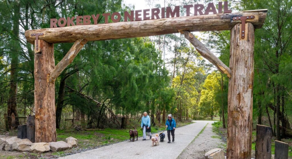
Rokeby to Neerim Railside Trail
West Gippsland, 100km from Melbourne
17 km
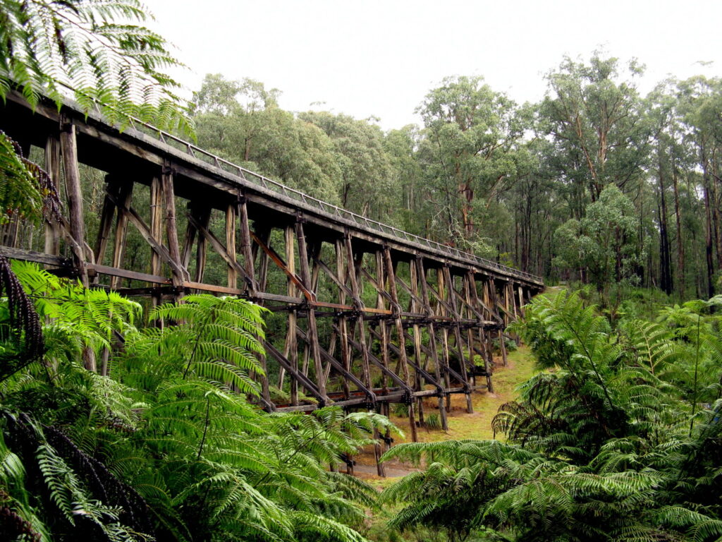
Noojee Trestle Bridge Rail Trail
West Gippsland, 100 km east of Melbourne
3 km
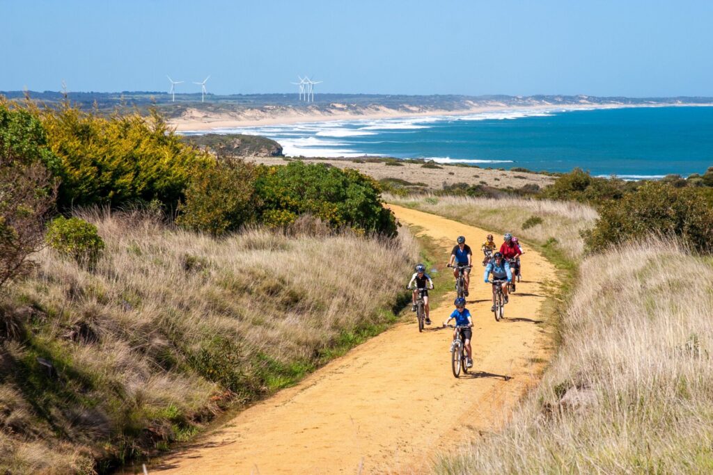
Bass Coast Rail Trail
Bass Coast, 130km south-east of Melbourne
23 km
O’Keefe Rail Trail
Goldfields region,150km north of Melbourne
49 km
Bunny Trail
110 km west of Melbourne
1.2 km
Castlemaine to Maldon Trail
120 km north west of Melbourne
18 km
Castlemaine-Maryborough Rail Trail
Central Victoria, 124 km from Melbourne

Nearby Trails
Sandridge Rail Trail
Melbourne city, 1km from GPO
4 km
Webb Dock Bridge
Docklands, 1 km south-west of Melbourne GPO
0.2 km
Hawthorn to Kew Rail Trail
Inner suburbs, 9km east of Melbourne CBD
1 km
Outer Circle Rail Trail
Eastern suburbs, 6km from Melbourne CBD
17 km
Meadowlink Linear Park
Broadmeadows, 20km north of CBD
1.2 km
Rosstown Rail Trail
Southern suburbs, 9km from the CBD
9 km
Ringwood to Belgrave Trail
40km east of Melbourne CBD
17 km
Warburton Rail Trail/Yarra Valley Trail
Yarra Valley, 50km east of Melbourne CBD
48 km
Eastern Dandenong Ranges Trail
Dandenongs, 50km south-east of CBD
15 km
Mornington Rail Trail
Mornington Peninsula, 60km south of CBD
4 km
Bellarine Rail Trail
Bellarine Peninsula, 75km south-west of Melbourne CBD
35 km
Red Hill Rail Trail
Mornington Peninsula, 90km south of CBD
6.3 km
Fyansford Rail Trail
North Geelong, 5km from town centre
4.4 km
Powelltown Tramway Trails
Yarra Ranges, 80km east of Melbourne
39 km
Woodend to Daylesford (incl Domino) Rail Trail
Goldfields, 85km north-west of Melbourne
6 km
Great Victorian Rail Trail
90km north of Melbourne
135 km
Rokeby to Neerim Railside Trail
West Gippsland, 100km from Melbourne
17 km
Noojee Trestle Bridge Rail Trail
West Gippsland, 100 km east of Melbourne
3 km
Bass Coast Rail Trail
Bass Coast, 130km south-east of Melbourne
23 km
O’Keefe Rail Trail
Goldfields region,150km north of Melbourne
49 km
Bunny Trail
110 km west of Melbourne
1.2 km
Castlemaine to Maldon Trail
120 km north west of Melbourne
18 km
Castlemaine-Maryborough Rail Trail
Central Victoria, 124 km from Melbourne
5 reviews of “Inner Circle Rail Trail”
Rae St now has its priority crossing. See PHOTO GALLERY
7/70 Watch out for the Rae St crossing in North Fitzroy, which is not a priority one. Most of them on the Inner Circle are, or have pedestrian-activated lights. Some drivers will give way at Rae St, but they don't have to.
An oldie that keeps getting better. Now 3m wide concrete most of the way, separated walking and cycling lanes on busy crossings, more trees, more conveniences.The local councils keep coming up with things to improve the Inner Circle. Expect some disruption when they start building Sky Rail north of Royal Park.
17/27. As part of the Capital City loop, we smashed out another old favourite last week, the Inner Circle Rail trail. We did it from from Royal Park to Rushall train stations. It is a straight line, with the only real hill up from Royal Park for a short distance.
At one point on the trail, near Velo Cycles in Carlton North, there is an electronic counter that had registered over 500000 bikes since Jan 1 this year, so they are well on track to record over a million in the full year.
17 trails now completed, only 10 to go for my 2019 challenge is to ride every rail trail in Victoria this calendar year to promote organ donation. You can follow my rail trail exploits on FB Warwick Duncan – The 2nd Chance Man or Insta @warwick_rides.
I was on this trail this morning (Saturday 21st March 2015), from Rushall to Royal Park and back. This is a popular trail for cyclists and walkers – going through great inner suburbs of Melbourne. I’m glad they kept the old train easement a park, as it adds to the attractiveness of the surrounding area. The path is sealed the entire length and there is only one slight hill as you enter Royal Park. Being part of the Capital City Trail there are plenty of bike paths leading off to all parts of Melbourne. There are a lot of activities happening along and off the trail most weekends – as well as plenty of cafe/food options with the nearby streets. The only issue is to watch out for cars as you cross some of the streets, especially towards the Rushall end because there aren’t pedestrian crossing lights.