 Location:
 Length:
 Surface:
 Start / End:
 Suitable for:
The Tyers Junction Rail Trail (7km) is a great one for mountain bike riders, but not much fun in winter.

- It’s great for bushwalking and mountain-biking enthusiasts
- It passes through rainforest, fern gullies, messmate and stringy bark forest
- Plenty of birds and seasonal wildflowers
- The Walhalla Goldfields Rail Trail and some rich gold mining history are nearby
Nearby Attractions
- At Tyers Junction, the eastern and western branches of the Tyers River used to feature timber tramways that are now bush walks. The more interesting of the two is the Eastern Tyers Walking Trail. Both tracks are not developed and only suitable for walking. Ask at the Caringal Scout Camp office for directions
- Petersons Lookout in Tyers Park, off Tyers-Walhalla Rd, has picnic facilities plus views of Tyers Gorge and the Latrobe Valley
- Erica MTB Park’s West Trails area features two intermediate-level downhill runs that include sections of the rail trail
- Walhalla Goldfields Rail Trail
- Mushroom Rock
- Mt Baw Baw
Last updated: 12 November 2025
This is not your standard rail trail as the line was a timber tramway. You can expect mud and fallen trees in winter. Then there’s the snakes and flying mountain bike riders in summer. Road-base rock has been used in places, which may cause punctures.
Section Guides
Collins Siding-Telbit Crossing (7km)
Note: Only this section of the trail is open. What remains of the rest of the railway corridor is not maintained. You can create a loop walk/ride by returning up Telbit Rd to Collins Siding but watch for logging trucks
- Access: At Collins Siding, the start of the trail is not signposted. Travelling north along Moe-Walhalla Rd (C466), watch for Telbit Rd on the left (also signposted for Caringal Scout Camp) 23km from Moe and 2km from Erica. Search: “Collins Siding” or “Telbit Road”. The trail begins off the C466, approx. 200m north of the Telbit Rd junction, just after Collins Siding’s last house. There is space for some off-road parking but it’s not recommended in winter, when you should use Old Government Rd or park at the Erica MTB Park western trail hub 1km closer to Erica.
- From Collins Siding, follow the trail down through mountain ash forest to Telbit Crossing
- The trail crosses creeks where tramway bridges used to be. The one at John Creek has had major work to handle Forest Fire Management vehicles
- The trail meanders through forest and tree ferns
- Common heath is in bloom in late winter and spring
- Look and listen for lyrebirds, kookaburras and fan-tailed cuckoos
- You may also see swamp wallabies, koalas and spiny anteaters
- The trail passes farmland to the east before crossing Middle Creek and passing a Finns Tk branch on the right
- After climbing to Telbit Crossing, where there was a sweeping curve, the rail reserve is near the far side of Telbit road before entering private land
- If starting from Telbit Crossing, look for a small “Tyers Junction Rail Trail” sign where the tramway crossed the road. Telbit Crossing is approximately 100m south of the intersection of Finns Track and Telbit Road. Search: “Finns Track”.
CONNECTING PATH (3km)
- You can ride down the gravel road to Tyers Junction. The surface is well maintained but that’s for the logging trucks, so keep an eye out for them
- There are sections of the tramway alignment below the road and then an extended section above the road on the right which is being maintained by trail bike riders
- On the way, look for the remains of Christies Bridge
- Enjoy one of the walking tracks or a picnic by the river before returning to Collins Siding via Telbit Rd or the trail
- There is camping available to the public at Caringal Scout Camp
![The Erica MTB Park West trailhead is the best way to access the rail trail [2023]](jpg/v28-050-the-erica-mtb-park-western-trailhead-has-signage-and-a-drive-thru-parking-area-2023-1-300x169.jpg)
The Erica MTB Park West trailhead is the best way to access the rail trail [2023]

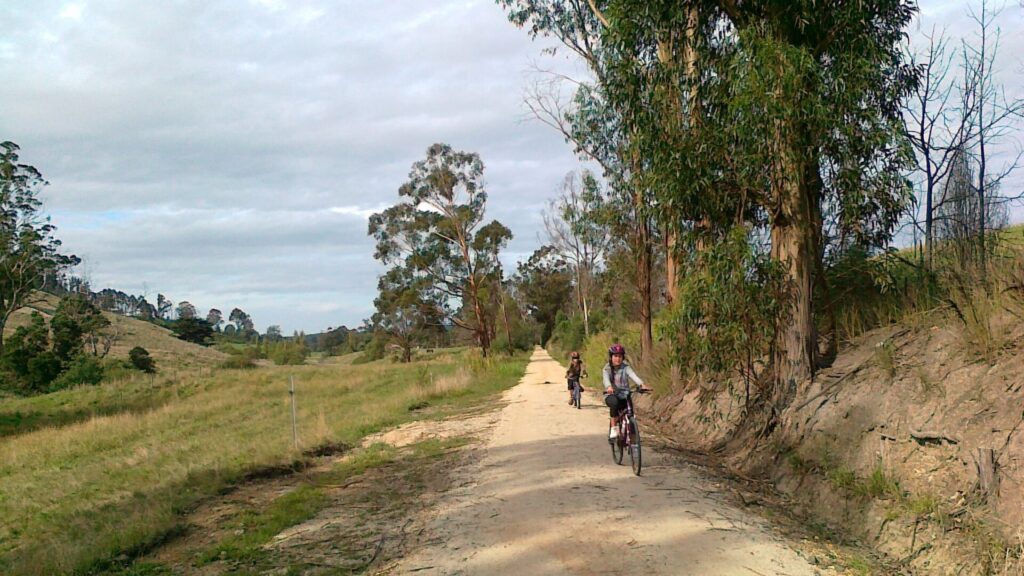
Heading down towards Telbit Crossing from Collins Siding
![The box culvert at Johns Creek has been replaced with pipes [2023]](jpg/v28-050-culverts-have-been-upgraded-for-fire-management-vehicles-but-can-still-be-muddy-or-rocky.-this-one-at-johns-creek-2023-300x169.jpg)
The box culvert at Johns Creek has been replaced with pipes [2023]
![Crossing the culvert used to be a major problem for fire trucks in winter [2013]](jpg/2061605529535-300x225.jpg)
Crossing the culvert used to be a major problem for fire trucks in winter [2013]
![A discreet sign for those heading up the trail from Telbit Crossing [2023]](jpg/v28-100-telbit-crossing-discrete-sign-on-telbit-rd-2023-1-225x300.jpg)
A discreet sign for those heading up the trail from Telbit Crossing [2023]

A section near Tyers Junction in 2013. This is no longer part of the trail
![A B-double log truck gets right of way as it leaves Tyers Junction [2023]](jpg/v28-150-tyers-junction-b-double-logging-truck-on-way-out-of-valley-2023-1-300x169.jpg)
A B-double log truck gets right of way as it leaves Tyers Junction [2023]
Do you know of a bike hire or transportation service on this rail trail that should appear here? If so, let us know at admin@railtrails.org.au.
Information and Links

Contact Rail Trails Australia
To contact us about this rail trail, email vic@railtrails.org.au
Background Information
Traditional Owners
We acknowledge the Kurnai people, the traditional custodians of the land and waterways on which the rail trail is built.
Rail Line History
The Tyers Valley Tramway was a narrow-gauge line built by the Forestry Commission of Victoria to exploit the timber resources on the slopes of Mt Baw Baw. The tramway met with the Victorian Railways’ narrow-gauge line from Moe to Walhalla at Collins Siding, and was built to the same 2 ft 6 in (762mm) gauge. The tramways serving the Tyers Valley were largely destroyed by bushfires in 1926. Rather than rebuild them, the Forestry Commission decided to construct a higher standard tramway to serve all the private sawmills in the district.
The tramway used secondhand, 40lb rails from Tasmania. It had a maximum grade of 1 in 30 (3.33%) and the curves had a minimum radius of 80ft (24.38m). No ballast was used but there were more sleepers than normal … timber availability not being an issue
The tramway extended 9.8km from Collins Siding to Tyers Junction, where the line divided to follow the two branches of the Tyers River.
It closed in 1949, and its Climax locomotive moved to the government sawmill at Erica. That engine has since been restored for the Puffing Billy Railway, along with one of the TALC tractors.
Linville Station Turns 100! (QLD)
Posted: 23/10/10
Linville Station Building. Photo credit: Alexander McCooke The ...
More...Curdies Trestle Bridge Official Opening (VIC)
Posted: 23/10/10
Riders enjoying the newly restored bridge. Matthew Graham ...
More...Daylesford to Woodend Trail is another step closer (VIC)
Posted: 18/10/10
Domino Trail between Trentham and Lyonville. Photo credit: Andy ...
More...Railtrails Australia 2010 AGM
Posted: 12/10/10
Railtrails Australia will be holding the 2010 Annual General Meeting at the usual location, Carlton North ...
More...New Summer Bus link From Colac to Beech Forest and Lavers Hill (VIC)
Posted: 08/10/10
The Victorian Government is funding a bus service from Colac to Lavers Hill in the ...
More...Great Southern Rail Trail (Gippsland, Victoria) Heritage Day
Posted: 02/01/07
On Sunday 14th January 2007 the South Gippsland Tourist Railway is celebrating the reopening of their ...
More...Nearby Trails
Erica to Thomson Rail Trail
Baw Baw Ranges, 165km east of Melbourne
7.3 km

Moe – Yallourn Rail Trail
Latrobe Valley, 130km east of Melbourne
7.2 km


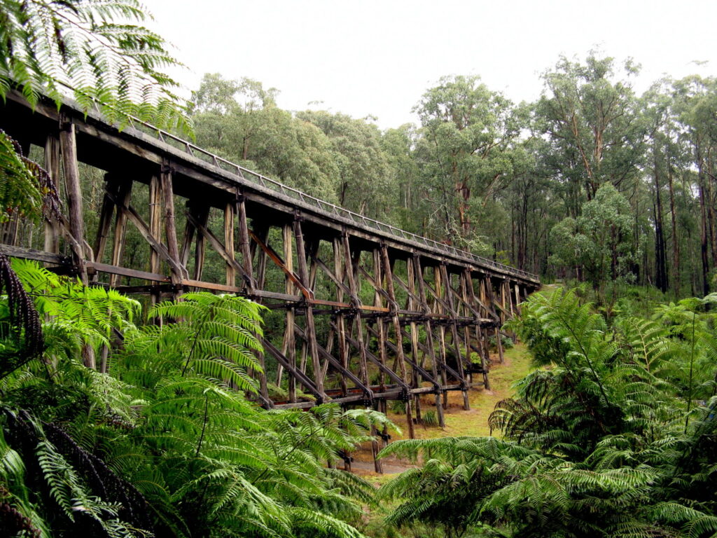
Noojee Trestle Bridge Rail Trail
West Gippsland, 100 km east of Melbourne
3 km


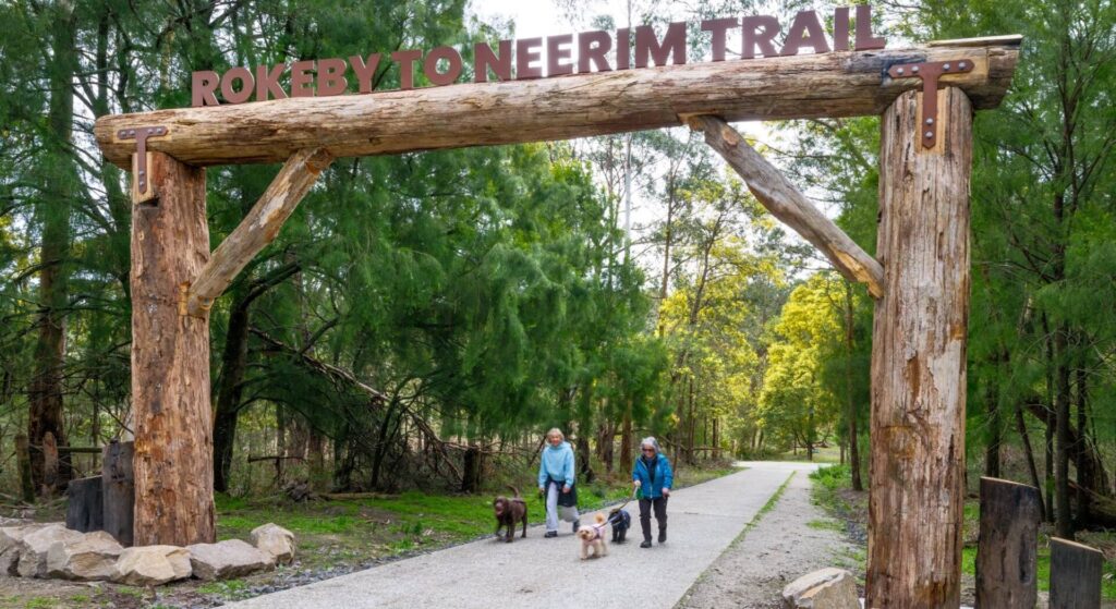
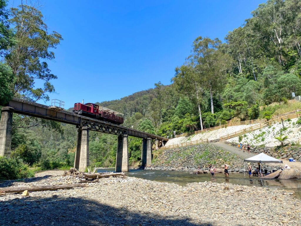
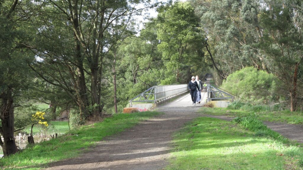
Rokeby to Neerim Railside Trail
West Gippsland, 100km from Melbourne
17 km
Gippsland Plains Rail Trail
Latrobe Valley, 190km east of Melbourne
62 km
Grand Ridge Rail Trail
Strzelecki Ranges, 160km east of Melbourne
13 km
Powelltown Tramway Trails
Yarra Ranges, 80km east of Melbourne
39 km
Great Southern Rail Trail
South Gippsland, 130km south-east of Melbourne
136 km
Eastern Dandenong Ranges Trail
Dandenongs, 50km south-east of CBD
15 km
Warburton Rail Trail/Yarra Valley Trail
Yarra Valley, 50km east of Melbourne CBD
48 km
Bass Coast Rail Trail
Bass Coast, 130km south-east of Melbourne
23 km
Ringwood to Belgrave Trail
40km east of Melbourne CBD
17 km

Mornington Rail Trail
Mornington Peninsula, 60km south of CBD
4 km
Outer Circle Rail Trail
Eastern suburbs, 6km from Melbourne CBD
17 km
Rosstown Rail Trail
Southern suburbs, 9km from the CBD
9 km
Hawthorn to Kew Rail Trail
Inner suburbs, 9km east of Melbourne CBD
1 km
Nearby Trails
Erica to Thomson Rail Trail
Baw Baw Ranges, 165km east of Melbourne
7.3 km
Moe – Yallourn Rail Trail
Latrobe Valley, 130km east of Melbourne
7.2 km
Noojee Trestle Bridge Rail Trail
West Gippsland, 100 km east of Melbourne
3 km
Rokeby to Neerim Railside Trail
West Gippsland, 100km from Melbourne
17 km
Gippsland Plains Rail Trail
Latrobe Valley, 190km east of Melbourne
62 km
Grand Ridge Rail Trail
Strzelecki Ranges, 160km east of Melbourne
13 km
Powelltown Tramway Trails
Yarra Ranges, 80km east of Melbourne
39 km
Great Southern Rail Trail
South Gippsland, 130km south-east of Melbourne
136 km
Eastern Dandenong Ranges Trail
Dandenongs, 50km south-east of CBD
15 km
Warburton Rail Trail/Yarra Valley Trail
Yarra Valley, 50km east of Melbourne CBD
48 km
Bass Coast Rail Trail
Bass Coast, 130km south-east of Melbourne
23 km
Ringwood to Belgrave Trail
40km east of Melbourne CBD
17 km
Mornington Rail Trail
Mornington Peninsula, 60km south of CBD
4 km
Outer Circle Rail Trail
Eastern suburbs, 6km from Melbourne CBD
17 km
Rosstown Rail Trail
Southern suburbs, 9km from the CBD
9 km
Hawthorn to Kew Rail Trail
Inner suburbs, 9km east of Melbourne CBD
1 km
5 reviews of “Tyers Junction Rail Trail”
RT67/70 Rode the Wheel Nuts downhill MTB track (minus the gap jump) and came back up the rail trail for a change. Trail was in good condition despite all the rain, although the combination of sizeable gravel and recycle asphalt at troublesome Johns Creek is unrideable.
I rode this trail (end-to end and return) yesterday. Even though it is mid-summer there are still some small mud patches and a few potholes full of water. Definitely a summer only ride. Forget about doing it in winter. Other than that, it is a good ride through lovely forest. Only problem is a couple of small sections with loose scoria where you can easily have a spill if you are not careful or going to fast.
In March, 2021, I led a group of nine bushwalkers on this rail trail from Collins Siding (corner of Telbit Rd and Moe-Walhalla Rd) through to Telbit Crossing (just south of Finns Tk). The walkers were very impressed with the natural beauty and good condition of the trail. There was no signage on the Moe-Walhalla Rd to advertise the existence of the trail so you need to look for the trailhead to the right of the remaining Collins Siding houses on the main road.
I rode this trail on 3rd of December, 2014, along with the Walhalla Goldfields Trail. This one is only rideable between Collins Siding and Telbit Rd – and only when it’s dry. Don’t attempt during or after heavy rain. Along Telbit Rd the trail is too overgrown, almost impossible to find, and even with a bit of bush bashing, I had to turn back. To make it a loop, I rode back up Telbit Rd. The best part is around Collins Siding and just before Telbit road where you are essentially riding along fire access tracks.
Hi we just spent Easter 2013 at The Scout Camp. Great spot pity that the Rail trail is very overgrown. We did want to link through to the MTB tracks from camp! After 2 ks and a lot of clearing we headed back on the road.
Needs clearing to keep access!!