 Location:
 Length:
 Surface:
 Start / End:
 Suitable for:
If you want to find out what happens when a private railway operator goes under, visit the 9km Rosstown Rail Trail.

- An intriguing ride or walk showing you how entrepreneur William Murray Ross shaped Melbourne’s southern suburbs in a failed bid to create a community bearing his name in the 1880s
- There are suburban train services to both ends of the trail and they take bikes
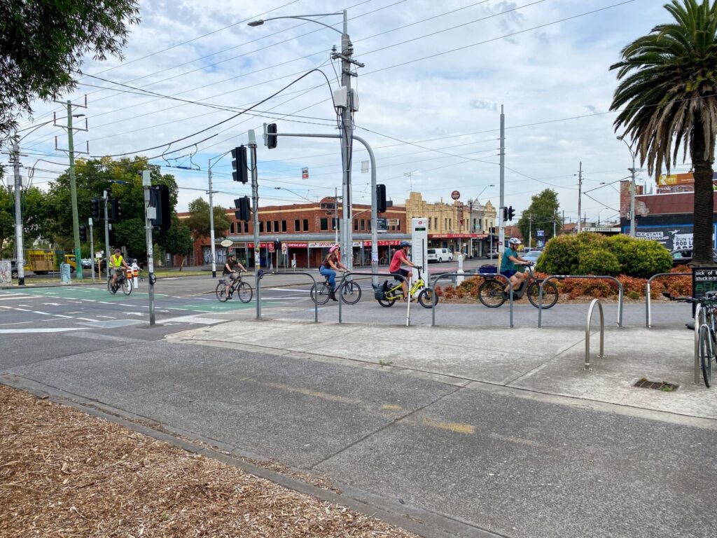
- It connects with some of Melbourne’s finest shared paths, including the Djerring Trail and Anniversary Outer Circle Rail Trail
Nearby Attractions
- Boyd Park and Outer Circle Rail Trail
- Djerring Trail
- Elwood Canal
- St Kilda Botanical Gardens
- Port Phillip Bay and beaches
- Ripponlea Estate historic mansion and gardens
- Holocaust Museum
Last updated: 17 December 2025
This trail is made up of concrete shared paths and asphalt on-road sections, some of which have bicycle lane markings. There are wayfinding signs at regular intervals.
For public transport options go to ‘GET AROUND’ below
Section Guides
Elsternwick to Ormond (4km)
- Access: Elsternwick Railway Station, Riddell Pde
- From Elsternwick Railway Park in Riddell Pde, the trail bears left into Clarence St past the site of Garden Vale Station
- The route goes onto the road, with a brief respite at Princes Park, a wetland that became a landfill site. The line ran on an embankment that is now Dover St, which was created with spoil from the Bambra Hill cutting, which was subsequently filled in again. Curraweena Park is the start of the largest section of remaining railway reserve, with a seperate path to the north for walkers. E.E. Gunn Reserve is a good place to stop, with play equipment, picnic facilities and toilets
Ormond to Oakleigh (4.8km)
- Access: E.E. Gunn Reserve car park, Dorothy Ave, Ormond
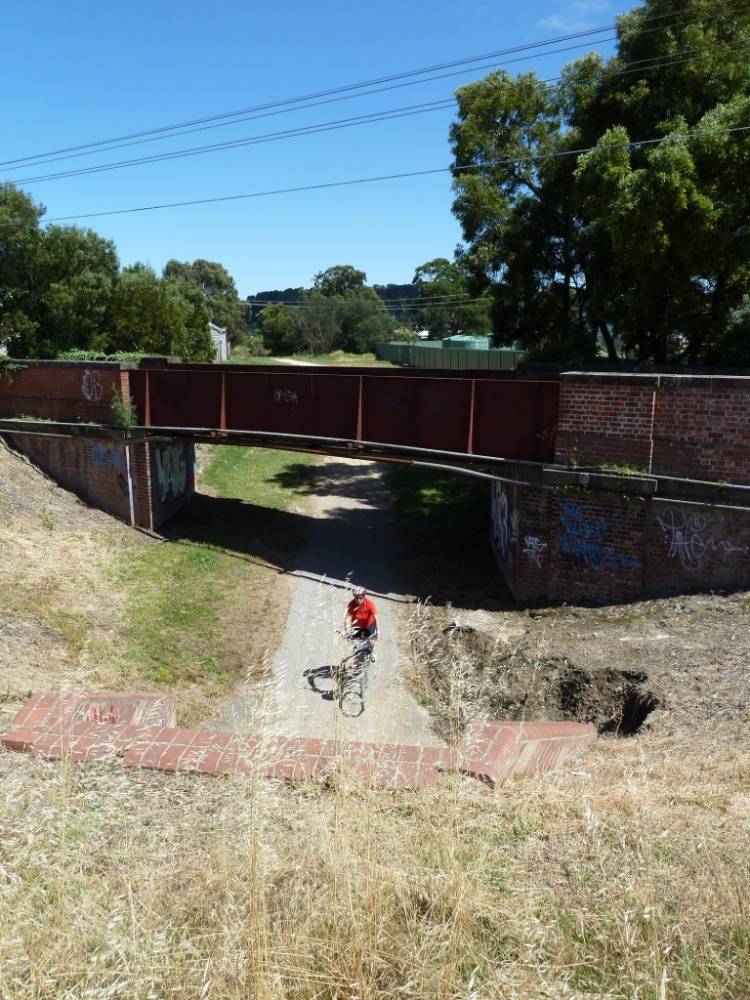
- William Ross was forced to build an underpass for his railway under the Frankston Line, but went overboard by providing room for four lines, more than enough for a road and the Rosstown Rail Trail’s shared path heading west from Gunn Reserve
- After a long stretch on Oakleigh Rd, watch for the turn into Koornang Rd, where the line turned slightly north to reach the sugar beet factory
- There’s another short stretch of shared path in Rosanna St Reserve before a big curve in Murrumbeena Cres. From the end of Murrumbeena Cres you can walk or ride to Hughesdale Station or take Freda St to get to Galbally Reserve, where the heritage route meets the Djerring Trail on the way to Oakleigh Station
- It arriving at this end by car, Oakleigh and Hughesdale stations have generous carparks.
CONNECTING PATHS
- Take the Elwood/Elster Canal Path west to the Bay Trail or hook onto the Anniversary/Outer Circle Trail from Hughesdale to get as far as Fairfield
- The Djerring Trail runs through Oakleigh north-west to Caulfield and southeast to Yarraman
![Turn off to Rosstown Rail Trail (straight ahead) from Djerring Trail [2020]](jpg/v05-350-turn-off-to-rosstown-rail-trail-on-left-at-hughesdale-2020-11-21_154723-300x168.jpg)
Turn off to Rosstown Rail Trail (straight ahead) from Djerring Trail [2020]
![Sharrows mark the trail near its eastern end on Murumbeena Cr [2025]](jpg/v05-050-sharrows-now-mark-the-rosstown-rail-trail-here-at-its-eastern-end-on-murumbeena-rd-2025-img_5603-300x169.jpg)
Sharrows mark the trail near its eastern end on Murumbeena Cr [2025]
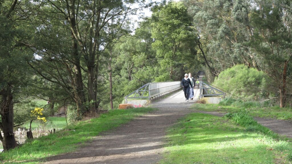
![Riders approach Gunn Reserve, crossing Frankston Rail Trail [2025]](jpg/v05-100-riders-approach-e.e.-gunn-reserve-from-the-east-crossing-the-frankston-trail-and-going-under-the-train-line-2025-img_5616-300x225.jpg)
Riders approach Gunn Reserve, crossing Frankston Rail Trail [2025]
![Lavish facilities in E.E. Gunn Reserve, the site of Rosstown's railyard [2023]](jpg/v05-100-lavish-facilities-on-the-site-of-rosss-railyard-in-e.e.-gunn-reserve-2023-225x300.jpg)
Lavish facilities in E.E. Gunn Reserve, the site of Rosstown's railyard [2023]
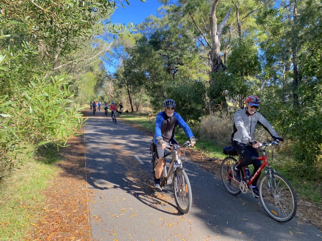
![Members of the Darebin BUG leaving Gunn Reserve after luncheon [2023]](jpg/v05-100-leaving-e.e.-gunn-reserve-2023-2178-300x225.jpg)
Members of the Darebin BUG leaving Gunn Reserve after luncheon [2023]
![Caraweena Park is part of the largest section of railway reserve [2011]](jpg/6681605538803-300x168.jpg)
Caraweena Park is part of the largest section of railway reserve [2011]
![No shared path for cyclists to use in narrow Aileen Ave, Elsternwick [2023]](jpg/v05-050-no-shared-path-in-aileen-ave-elsternwick-2023-300x225.jpg)
No shared path for cyclists to use in narrow Aileen Ave, Elsternwick [2023]
![End of the trail in Elsternwick Railway Park, east of station [2023]](jpg/v05-050-start-of-the-trail-in-railway-park-near-elsternwick-stn-2023-300x225.jpg)
End of the trail in Elsternwick Railway Park, east of station [2023]
Public Transport
Being a rail trail between two active lines makes life easy. Elsternwick Station on the Sandringham Line is near the start and Oakleigh and Hughesdale Stations (Pakenham/Cranbourne lines) are at the other end. Walkers can take a rain check with the route 64 tram on Hawthorn Rd or the route 625 PTV bus on Koorang Rd. As always, bicycle carrying restrictions apply.
Refer to the PTV web page for map and timetables, or the navigation program of your choice.
Do you know of a bike hire or transportation service on this rail trail that should appear here? If so, let us know at admin@railtrails.org.au.
Information and Links
![]() The responsible local authority is the City of Glen Eira, which has produced a very informative brochure (see link below).
The responsible local authority is the City of Glen Eira, which has produced a very informative brochure (see link below).
The council’s Arts and Culture team provides information on the trail. Digital walking tour link here
To report any maintenance issues, please email ma**@**************ov.au or call 9524 3333
Contact Rail Trails Australia
To contact us about this rail trail, email vic@railtrails.org.au
Background Information
Traditional Owners
We acknowledge the Woiworung people, the traditional custodians of the land and waterways on which this rail trail is built.
Railway history
The Rosstown Railway Heritage Trail charts the original course of a private line from Oakleigh to Elsternwick which was the life-long dream of William Murray Ross. He built the line with the intention of transporting sugar beet to his mill from Gippsland, and the refined product to the Port of Melbourne. From start to finish, the railway line was plagued with problems, ranging from a lack of funds to construction delays. When the mill failed to begin production, the line fell into disrepair without being used and was eventually dismantled, with the land being sold.
However we have to give credit to this hapless entrepreneur who shaped the City of Glen Eira and its surrounds.
Rosstown Rail Trail Excursion
Posted: 04/04/05
We have heard that a group of bike riders are gathering on Sunday 17th April 2005 ...
More...Nearby Trails
Outer Circle Rail Trail
Eastern suburbs, 6km from Melbourne CBD
17 km


Hawthorn to Kew Rail Trail
Inner suburbs, 9km east of Melbourne CBD
1 km
Sandridge Rail Trail
Melbourne city, 1km from GPO
4 km
Webb Dock Bridge
Docklands, 1 km south-west of Melbourne GPO
0.2 km
Inner Circle Rail Trail
Inner suburbs, 5km from the CBD
5 km
Ringwood to Belgrave Trail
40km east of Melbourne CBD
17 km
Meadowlink Linear Park
Broadmeadows, 20km north of CBD
1.2 km
Mornington Rail Trail
Mornington Peninsula, 60km south of CBD
4 km
Eastern Dandenong Ranges Trail
Dandenongs, 50km south-east of CBD
15 km
Warburton Rail Trail/Yarra Valley Trail
Yarra Valley, 50km east of Melbourne CBD
48 km

Red Hill Rail Trail
Mornington Peninsula, 90km south of CBD
6.3 km
Bellarine Rail Trail
Bellarine Peninsula, 75km south-west of Melbourne CBD
35 km
Powelltown Tramway Trails
Yarra Ranges, 80km east of Melbourne
39 km
Fyansford Rail Trail
North Geelong, 5km from town centre
4.4 km
Bass Coast Rail Trail
Bass Coast, 130km south-east of Melbourne
23 km
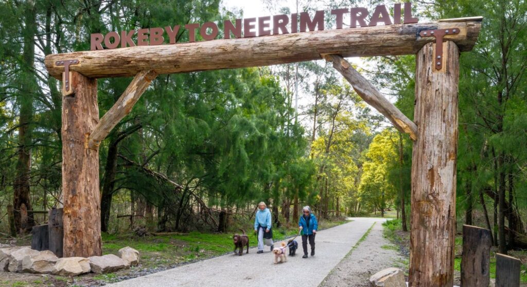
Rokeby to Neerim Railside Trail
West Gippsland, 100km from Melbourne
17 km
Noojee Trestle Bridge Rail Trail
West Gippsland, 100 km east of Melbourne
3 km
Woodend to Daylesford (incl Domino) Rail Trail
Goldfields, 85km north-west of Melbourne
6 km
Great Victorian Rail Trail
90km north of Melbourne
135 km
Bunny Trail
110 km west of Melbourne
1.2 km
O’Keefe Rail Trail
Goldfields region,150km north of Melbourne
49 km
Tyers Junction Rail Trail
Baw Baw Ranges, 30km north of Moe
7 km
Great Southern Rail Trail
South Gippsland, 130km south-east of Melbourne
136 km
Grand Ridge Rail Trail
Strzelecki Ranges, 160km east of Melbourne
13 km
Moe – Yallourn Rail Trail
Latrobe Valley, 130km east of Melbourne
7.2 km
Nearby Trails
Outer Circle Rail Trail
Eastern suburbs, 6km from Melbourne CBD
17 km
Hawthorn to Kew Rail Trail
Inner suburbs, 9km east of Melbourne CBD
1 km
Sandridge Rail Trail
Melbourne city, 1km from GPO
4 km
Webb Dock Bridge
Docklands, 1 km south-west of Melbourne GPO
0.2 km
Inner Circle Rail Trail
Inner suburbs, 5km from the CBD
5 km
Ringwood to Belgrave Trail
40km east of Melbourne CBD
17 km
Meadowlink Linear Park
Broadmeadows, 20km north of CBD
1.2 km
Mornington Rail Trail
Mornington Peninsula, 60km south of CBD
4 km
Eastern Dandenong Ranges Trail
Dandenongs, 50km south-east of CBD
15 km
Warburton Rail Trail/Yarra Valley Trail
Yarra Valley, 50km east of Melbourne CBD
48 km
Red Hill Rail Trail
Mornington Peninsula, 90km south of CBD
6.3 km
Bellarine Rail Trail
Bellarine Peninsula, 75km south-west of Melbourne CBD
35 km
Powelltown Tramway Trails
Yarra Ranges, 80km east of Melbourne
39 km
Fyansford Rail Trail
North Geelong, 5km from town centre
4.4 km
Bass Coast Rail Trail
Bass Coast, 130km south-east of Melbourne
23 km
Rokeby to Neerim Railside Trail
West Gippsland, 100km from Melbourne
17 km
Noojee Trestle Bridge Rail Trail
West Gippsland, 100 km east of Melbourne
3 km
Woodend to Daylesford (incl Domino) Rail Trail
Goldfields, 85km north-west of Melbourne
6 km
Great Victorian Rail Trail
90km north of Melbourne
135 km
Bunny Trail
110 km west of Melbourne
1.2 km
O’Keefe Rail Trail
Goldfields region,150km north of Melbourne
49 km
Tyers Junction Rail Trail
Baw Baw Ranges, 30km north of Moe
7 km
Great Southern Rail Trail
South Gippsland, 130km south-east of Melbourne
136 km
Grand Ridge Rail Trail
Strzelecki Ranges, 160km east of Melbourne
13 km
Moe – Yallourn Rail Trail
Latrobe Valley, 130km east of Melbourne
7.2 km
7 reviews of “Rosstown Rail Trail”
8/70 Rode Rosstown yesterday and the sharrows and extra speed humps do seem to have helped reduce traffic speeds. It's still not somewhere I would ride with kids.
City of Glen Eira has removed all the old red and white trail signs with their locomotive logos and replaced them with green signs that are hard to read. Still no signage for the rail trail where it ends in Galbally Reserve, Oakleigh. The last sign is outside the servo on the corner of Kangaroo Rd and Poath Rd, which is not a great place to finish a walk or ride. Trail users shouldn't have to navigate Poath Rd.
If you are a gunzel or ticking off all the rail trails, I highly recommend doing this once, and once only. For the more sane of us, one to avoid as most of it is on-road, on streets which are too narrow for cars to pass easily. After the beauty and effort put into the Outer Circle Rail Trail this was a significant disappointment.
Walked this starting at Elsternwick Station and ending at Oakleigh Station. Signage is good along the way until you get to Murrumbeena Crescent, then you have to rely on the Rail Trails Australia map. This is mostly along suburban streets. Very busy. Recommend stopping at Murrumbeena Pantry or Citizen cafe along the way for a bite to eat.
A pleasant enough ride but, starting from Oakleigh Station, we found the signage inadequate and confusing. Indeed, riding east to west, we did not see a clear Rosstown Rail Trail sign until the corner of Rosanna and Lascelles streets. From there on, the ride was reasonably straightforward; but whoever is responsible for the Oakleigh half appears to be discouraging cyclists.
Rosstown Rail Trail done. Number 10 and the first urban rail trail completed on my quest to ride every one in the 30th-anniversary year of my liver transplant. This former railway with an interesting history only ever had one train use it, and I will do the same as there is no reason why anyone would want to come back and do it again. It is generally on-road, mainly on quiet suburban streets through City of Glen Eira but with numerous main road crossings. I had a few issues with the signage, but I took the map from the Rail Trails of Victoria book and that helped. I didn’t notice a beginning or end either. Tick! Move on. 8km.
I rode this trail yesterday (April 26th 2015) from Hughesdale to Elsternwick and back. I really enjoyed it. I was surprised that it is so well signposted – was expecting minimal signage, but it was completely the opposite. It was very hard to get lost on this trail. Only one confusing part was going under the Frankston train line to E E Gunn Reserve. Going through the backstreets of Ormond, Caulfield South and Carnegie was really interesting – parts of Melbourne I rarely visit. The biggest issue I had was all of the parked cars on both sides of the roads meant in places only a single line of traffic could get through – especially in Dover St and Oakleigh Rd – so I was forced to wait for cars to go through. However, car drivers didn’t show me the same courtesy and there were a number of times I was forced into parked cars when 4WD drivers thought they could squeeze through at the same time without waiting.