 Location:
 Length:
 Surface:
 Start / End:
 Suitable for:
Once you get away from the chaos of Flinders St Station and Crown Casino, the Sandridge railside trail has some interesting views, especially when cruise ships are in town.

- It’s a short and easy ride or walk from the CBD to Port Melbourne
- You can check out the urban renewal project known as Beacon Cove
- There are great views across Port Phillip Bay
Nearby Attractions
- Historic Station Pier carried migrant trains
- Art deco Centenary Bridge pylon, all that remains of a road bridge built in 1934 over the Sandridge Line
- The Bay Trail travels east beyond Frankston and west to Point Cook
- Webb Dock Bridge
- Port Melbourne Beach
Last updated: 2 January 2026
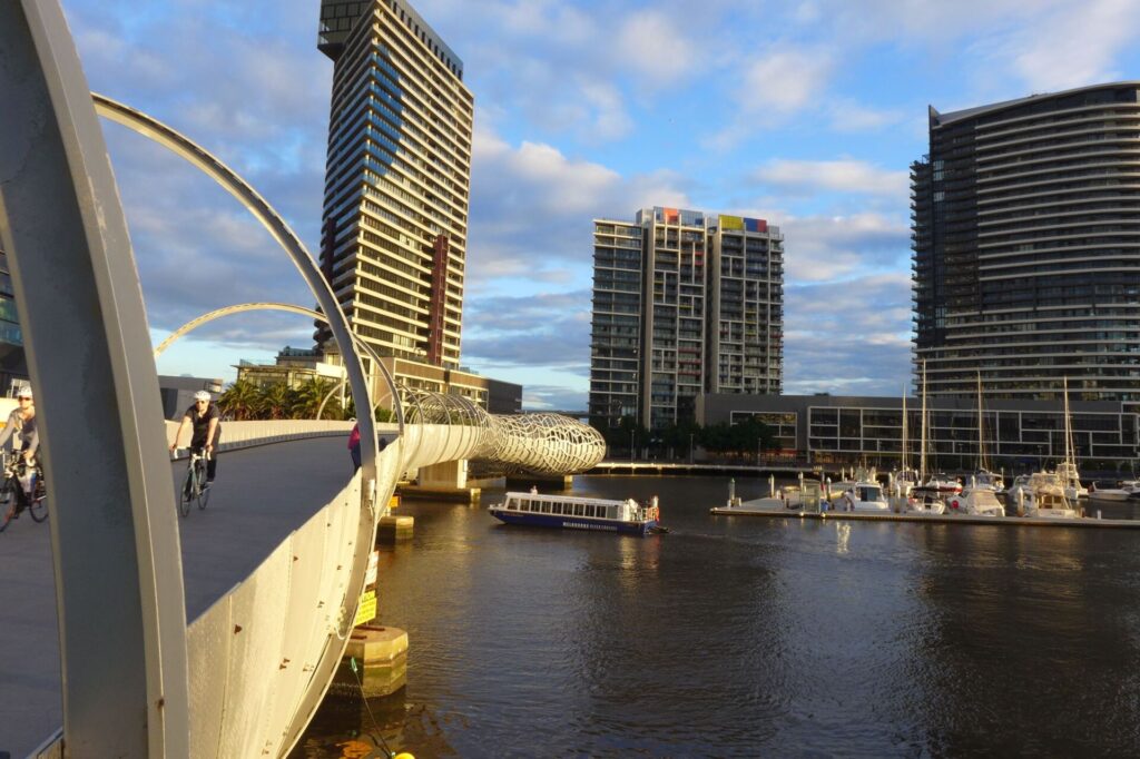
The trail shadows the route of Australia’s first steam railway from Flinders St Station to Port Melbourne (originally called Sandridge) via the Sandridge Rail Bridge across the Yarra River
For public transport options go to ‘GET AROUND’ below
Section Guides
Flinders St to Normanby Rd (1km)
- Access: Start at the Elizabeth St end of Flinders St Station if you are walking and take the subway to the northern bank of the Yarra River. if you are walking. Riders will find it easier riding the Yarra Promenade west from Birrarung Marr park
- The Yarra Promenade runs south-west along the riverbank to the former Sandridge Railway Bridge, which carried the line to Port Melbourne. The bridge carried two sets of tracks as far as Clarendon St, from where the St Kilda Line headed south.
- The bridge has been converted for pedestrian use, with sculptures and glass panels to represent our indigenous peoples and the origins of the immigrant population, many of whom arrived by ship at Station Pier and travelled over this bridge by train.
- Cross the river on the bridge and continue along the southern bank to Clarendon St past the casino. There is a 10 kmh limit past the casino and no separate bicycle lane. Turn left at Clarendon and follow the far footpath on Clarendon St to Normanby Rd.
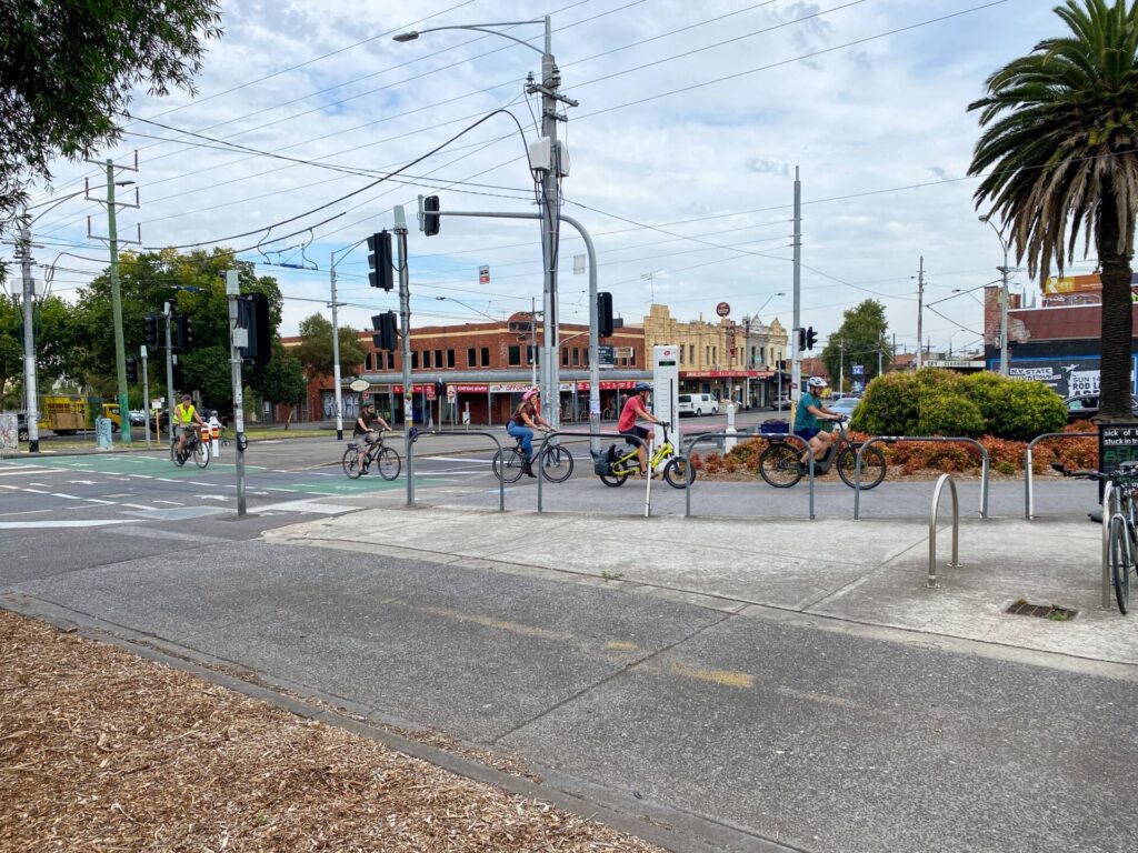
Normanby Rd to Port Melbourne (3km)
- Access: Search: Clarendon St/Whiteman St, Southbank
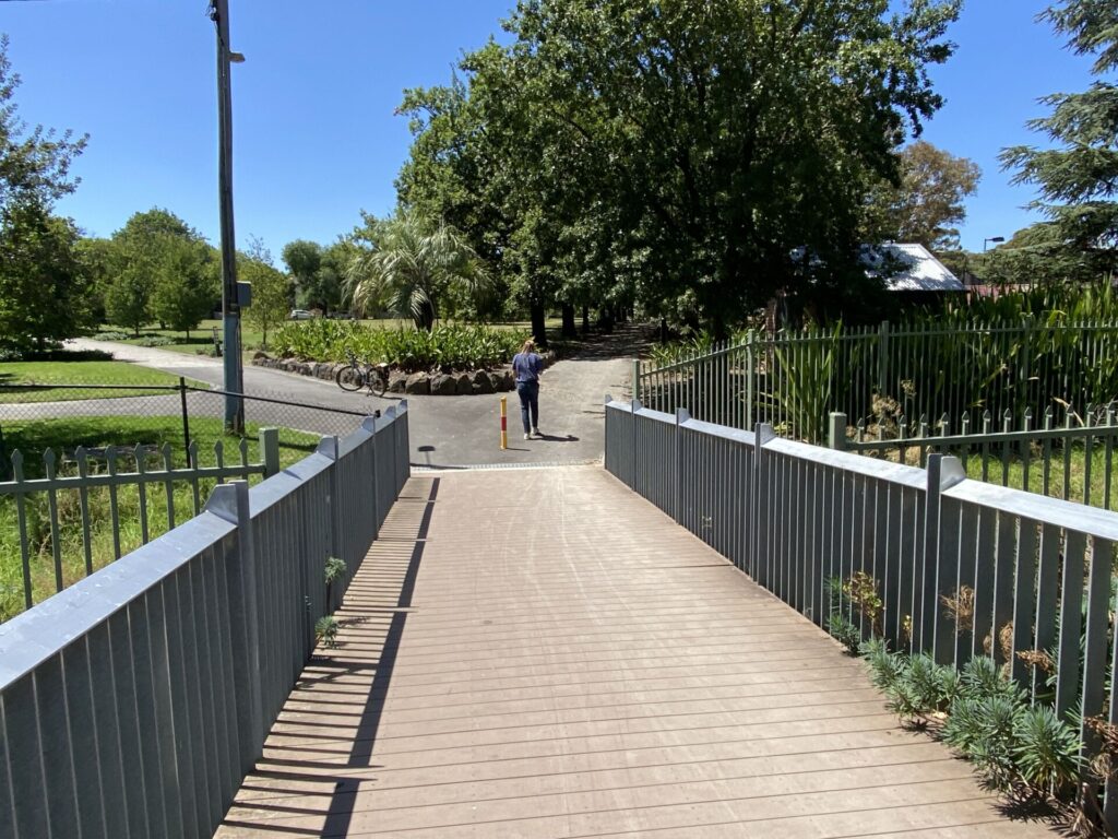
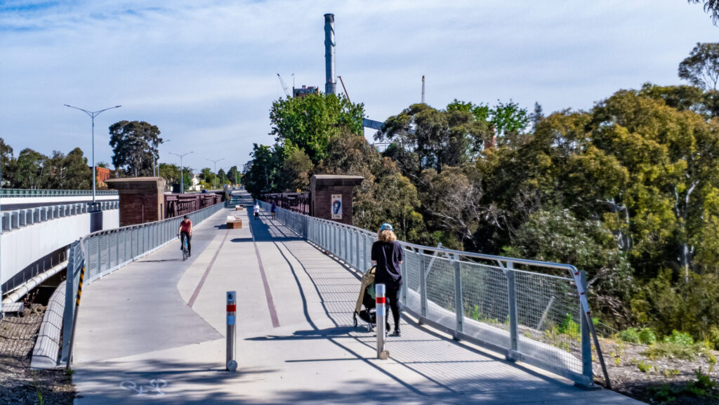
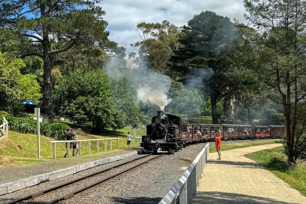
- Here a shared path starts next to the light-rail tracks. For much of the route, this path runs through pleasant parkland. It finishes at the Port Melbourne Station, where a lower platform has been installed for the light-rail service. When migrant ships were in port, the train went onto the pier. There are a number of eateries in this area. From here you can have a look at Station Pier, which is closed to the public, and Princes Pier further west. If you’re lucky, there’ll be a cruise ship berthed here (see Trail Gallery).

Former rail bridge over the Yarra at Flinders St is a major feature (2007)
![A massive ramp takes the rail bridge down to street level [2023]](jpg/v06-050-sandridge-rail-bridge-southbank-2023-300x225.jpg)
A massive ramp takes the rail bridge down to street level [2023]
![The tracks along Normanby Rd now carry a light-rail service [2023]](jpg/v06-050-normanby-rd-2023-300x225.jpg)
The tracks along Normanby Rd now carry a light-rail service [2023]
![Riders cross the tracks in front of the Southbank tram depot [2023]](jpg/v06-050-normanby-rd-crossing-light-rail-tracks-at-yarra-trams-southbank-depot-2023-2702-300x225.jpg)
Riders cross the tracks in front of the Southbank tram depot [2023]
![The trail offers lots of shade and play equipment along the route [2023]](jpg/v06-100-port-melbourne-2023-300x225.jpg)
The trail offers lots of shade and play equipment along the route [2023]
![The Sandridge Station now operates as commercial premises [2023]](jpg/v06-100-port-melbourne-2023-2703-300x225.jpg)
The Sandridge Station now operates as commercial premises [2023]
![Cruise ships have replaced migrant ones at Station Pier in summer [2023]](jpg/v06-100-port-melbourne-cruise-ships-at-station-pier-instead-of-migrant-ships-11-2023-300x225.jpg)
Cruise ships have replaced migrant ones at Station Pier in summer [2023]
Public Transport
Not surprisingly, the Sandridge Trail starts at the back door (southern side) of Flinders St Station where all good Metro trains, and some V/Line ones, stop. From here you need to follow our map. If you’re walking, you can catch the Route 12 tram to the Casino/MCEC stop, which is close to the start of the rail trail proper. No bikes are allowed on the trams.
Refer to the PTV web page for map and timetables, or the navigation program of your choice.
Do you know of a bike hire or transportation service on this rail trail that should appear here? If so, let us know at admin@railtrails.org.au.
Contact Rail Trails Australia
To contact us about this rail trail, email vic@railtrails.org.au
Background Information
The railway was opened in 1854 to connect the city to its passenger ship wharf. In the 1940s, displaced persons were carried by train direct from Station Pier to the migrant camp at Bonegilla, along what is now part of the High Country Rail Trail. The last train to St Kilda ran over the Sandridge Bridge in 1987.
Nearby Trails
Webb Dock Bridge
Docklands, 1 km south-west of Melbourne GPO
0.2 km


Inner Circle Rail Trail
Inner suburbs, 5km from the CBD
5 km
Hawthorn to Kew Rail Trail
Inner suburbs, 9km east of Melbourne CBD
1 km
Outer Circle Rail Trail
Eastern suburbs, 6km from Melbourne CBD
17 km
Rosstown Rail Trail
Southern suburbs, 9km from the CBD
9 km
Meadowlink Linear Park
Broadmeadows, 20km north of CBD
1.2 km
Ringwood to Belgrave Trail
40km east of Melbourne CBD
17 km
Mornington Rail Trail
Mornington Peninsula, 60km south of CBD
4 km
Eastern Dandenong Ranges Trail
Dandenongs, 50km south-east of CBD
15 km
Warburton Rail Trail/Yarra Valley Trail
Yarra Valley, 50km east of Melbourne CBD
48 km

Bellarine Rail Trail
Bellarine Peninsula, 75km south-west of Melbourne CBD
35 km
Fyansford Rail Trail
North Geelong, 5km from town centre
4.4 km
Red Hill Rail Trail
Mornington Peninsula, 90km south of CBD
6.3 km
Powelltown Tramway Trails
Yarra Ranges, 80km east of Melbourne
39 km
Woodend to Daylesford (incl Domino) Rail Trail
Goldfields, 85km north-west of Melbourne
6 km
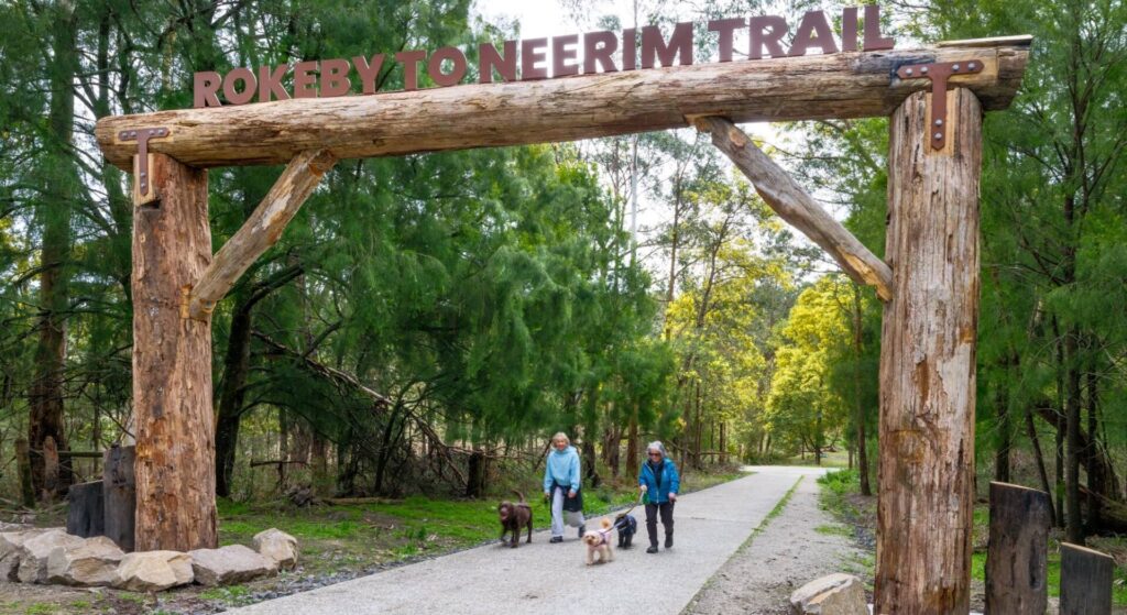
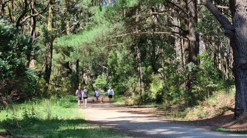
Rokeby to Neerim Railside Trail
West Gippsland, 100km from Melbourne
17 km
Bass Coast Rail Trail
Bass Coast, 130km south-east of Melbourne
23 km
Noojee Trestle Bridge Rail Trail
West Gippsland, 100 km east of Melbourne
3 km
Great Victorian Rail Trail
90km north of Melbourne
135 km
Bunny Trail
110 km west of Melbourne
1.2 km
O’Keefe Rail Trail
Goldfields region,150km north of Melbourne
49 km
Castlemaine to Maldon Trail
120 km north west of Melbourne
18 km
Castlemaine-Maryborough Rail Trail
Central Victoria, 124 km from Melbourne

Ballarat-Skipton Rail Trail
110 km north-west of Melbourne
57 km
Nearby Trails
Webb Dock Bridge
Docklands, 1 km south-west of Melbourne GPO
0.2 km
Inner Circle Rail Trail
Inner suburbs, 5km from the CBD
5 km
Hawthorn to Kew Rail Trail
Inner suburbs, 9km east of Melbourne CBD
1 km
Outer Circle Rail Trail
Eastern suburbs, 6km from Melbourne CBD
17 km
Rosstown Rail Trail
Southern suburbs, 9km from the CBD
9 km
Meadowlink Linear Park
Broadmeadows, 20km north of CBD
1.2 km
Ringwood to Belgrave Trail
40km east of Melbourne CBD
17 km
Mornington Rail Trail
Mornington Peninsula, 60km south of CBD
4 km
Eastern Dandenong Ranges Trail
Dandenongs, 50km south-east of CBD
15 km
Warburton Rail Trail/Yarra Valley Trail
Yarra Valley, 50km east of Melbourne CBD
48 km
Bellarine Rail Trail
Bellarine Peninsula, 75km south-west of Melbourne CBD
35 km
Fyansford Rail Trail
North Geelong, 5km from town centre
4.4 km
Red Hill Rail Trail
Mornington Peninsula, 90km south of CBD
6.3 km
Powelltown Tramway Trails
Yarra Ranges, 80km east of Melbourne
39 km
Woodend to Daylesford (incl Domino) Rail Trail
Goldfields, 85km north-west of Melbourne
6 km
Rokeby to Neerim Railside Trail
West Gippsland, 100km from Melbourne
17 km
Bass Coast Rail Trail
Bass Coast, 130km south-east of Melbourne
23 km
Noojee Trestle Bridge Rail Trail
West Gippsland, 100 km east of Melbourne
3 km
Great Victorian Rail Trail
90km north of Melbourne
135 km
Bunny Trail
110 km west of Melbourne
1.2 km
O’Keefe Rail Trail
Goldfields region,150km north of Melbourne
49 km
Castlemaine to Maldon Trail
120 km north west of Melbourne
18 km
Castlemaine-Maryborough Rail Trail
Central Victoria, 124 km from Melbourne
Ballarat-Skipton Rail Trail
110 km north-west of Melbourne
57 km
5 reviews of “Sandridge Rail Trail”
4/70 Finally stopped at the Centenary Bridge pylon to read about this road bridge that took Beach St over the Sandridge Line from Princes St to Swallow St. Never knew there were four tracks on Station Pier, a little overkill perhaps? Only one cruise ship today.
Getting from the Sandridge Rail Bridge to the trail on Normanby Rd remains a problem. The pedestrian crossing at City Rd has a separated bike lane, but the one at Clarendon St does not and there are no signs pointing to the trail. The casino clearly doesn't want to provide grade separation between pedestrians and two-wheeled transport and would rather have a 10kmh limit.
16/27. Last week, I did an old favorite of mine. the short urban Sandridge railtrail, from Melbourne CBD to Port Melbourne. We started at Sandridge Bridge, apparently the 1st bridge across the Yarra, now a large monument to Melbourne’s immigration history. The end is at Beacon Cove, where we had coffee overlooking the water. We then doubled back to the city continue along the Capital City Loop.
16 trails down on my 2019 challenge is to ride every rail trail in Victoria this calendar year to promote organ donation. You can follow my rail trail exploits on FB Warwick Duncan – The 2nd Chance Man or Insta @warwick_rides. today.
I rode this trail this morning (Friday 3rd April 2015), along with the Webb Dock Bridge trail. This is a great inner Melbourne trail that links the city with the bay, and makes for a great family ride. The only issues are riding along Yarra Promenade and avoiding all the pedestrians; as well as at the Clarendon St crossing – getting to the Sandridge trail at Normanby Rd is a problem. I agree with the comment below that signage could be better – especially where the trail leaves Normanby Rd at the tram depot.
We enjoyed using the trail to easily reach the beach from CBD. Signage could be much better than it is, for visitors.