 Location:
 Length:
 Surface:
 Start / End:
 Suitable for:
A pleasant 1km walk through suburbia, the Hawthorn-Kew Rail Trail has a couple of nice playgrounds for the kids, with treats not far away in Glenferrie Rd.

- A great area for picnics and birthday gatherings
- You can see some of Melbourne’s earliest stately homes in Hawthorn
- The busy shopping strip along Glenferrie Rd has everything
- The former home of the Hawthorn Football Club is just metres from the trail
Nearby Attractions
- Grace Park playground
- Glenferrie St shopping and cafes, via Hawthorn Grove
- Main Yarra Trail, via Denham St and Yarra Bank Reserve
- Melbourne Tram Museum, Wallen Rd
Last updated: 19 December 2025
This short trail follows the route of a branch line from Hawthorn to Kew. The area where the two lines met is now a beautiful park
For public transport options go to ‘GET AROUND’ below and click on ‘SHOW MORE’ if necessary
Section Guides
- Access: Parking on Hilda Cres, near Glenferrie Oval. Grace Park is to the west
- From Power St, the trail runs through Grace Park along a tree-lined path. At Hilda Cres it becomes a wide, concrete shared path that takes you past tennis courts and Glenferrie Oval, former home of the Hawthorn Football Club, as you head north. At Chrystobel Cres the path becomes narrow and the surface deteriorates markedly through L.E. Bray Park, suggesting the asphalt may pre-date the closure of the line in 1957.
- Play equipment and trees now fill the rest of the railway corridor. The trail culminates in a service lane near Hawthorn Grove, with the railway easement across the road fenced off in a long-dormant housing development site. Former VicRoads office towers on Denmark St now occupy the site of the Kew station but are themselves now earmarked for demolition.
![The rail trail entry off Power St, Hawthorn, with Belgrave/Lilydale lines to the right [2023]](jpg/v03-050-aentry-off-power-st-hawthorn.-belgrave_lilydale-line-on-right-2023-e1681804574170-281x300.jpg)
The rail trail entry off Power St, Hawthorn, with Belgrave/Lilydale lines to the right [2023]
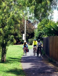
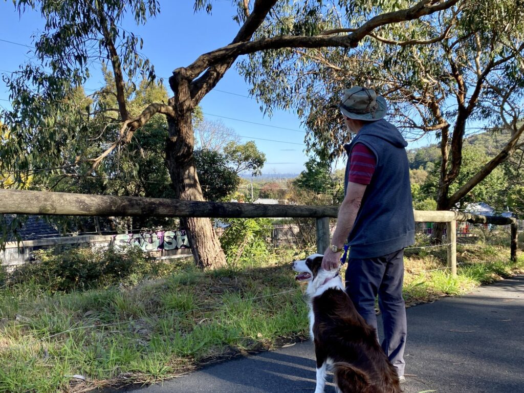
![Admiring the gum trees along the trail outside Glenferrie Oval, Hilda Cres, Hawthorn [2023]](jpg/v03-050-cadmiring-the-gums-outside-glenferrie-oval-hilda-cres-hawthorn-2023-2362-300x225.jpg)
Admiring the gum trees along the trail outside Glenferrie Oval, Hilda Cres, Hawthorn [2023]
Riding up through L.E. Bray Park towards Hawthorn Grove, where the path is rather narrow
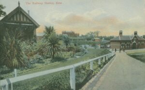
The classic Victorian station at Kew, with Xavier College in background. John Thompson Collection
![The station site was the base for VicRoads, now earmarked for redevelopment [2023]](jpg/v03-150-kew-station-site-now-vicroads-2022-300x225.jpg)
The station site was the base for VicRoads, now earmarked for redevelopment [2023]
Public Transport
Metro operates three train services (Lilydale, Alamein and Belgrave) that stop frequently at Hawthorn Station, near the start of this trail. If you are walking, you can use the #609 PTV bus from the VicRoads stop in Denmark St to get you back to the same station. As always, bicycle carrying restrictions apply.
Refer to the PTV web page for map and timetables, or the navigation app of your choice.
Do you know of a bike hire or transportation service on this rail trail that should appear here? If so, let us know at admin@railtrails.org.au.
Information and Links
The trail is managed by Boroondara Council. To report any issues or problems please contact the council.
Contact Rail Trails Australia
To contact us about this rail trail, email vic@railtrails.org.au
Background Information
Traditional owners
We acknowledge the Woiworung people, the traditional custodians of the land and waterways on which the rail trail is built.
Rail line history
This short trail follows a branch line from Hawthorn to Kew that opened in 1887 and closed in 1957.
Nearby Trails
Outer Circle Rail Trail
Eastern suburbs, 6km from Melbourne CBD
17 km


Inner Circle Rail Trail
Inner suburbs, 5km from the CBD
5 km
Sandridge Rail Trail
Melbourne city, 1km from GPO
4 km
Webb Dock Bridge
Docklands, 1 km south-west of Melbourne GPO
0.2 km
Rosstown Rail Trail
Southern suburbs, 9km from the CBD
9 km
Meadowlink Linear Park
Broadmeadows, 20km north of CBD
1.2 km
Ringwood to Belgrave Trail
40km east of Melbourne CBD
17 km
Warburton Rail Trail/Yarra Valley Trail
Yarra Valley, 50km east of Melbourne CBD
48 km

Eastern Dandenong Ranges Trail
Dandenongs, 50km south-east of CBD
15 km
Mornington Rail Trail
Mornington Peninsula, 60km south of CBD
4 km
Bellarine Rail Trail
Bellarine Peninsula, 75km south-west of Melbourne CBD
35 km
Red Hill Rail Trail
Mornington Peninsula, 90km south of CBD
6.3 km
Powelltown Tramway Trails
Yarra Ranges, 80km east of Melbourne
39 km
Fyansford Rail Trail
North Geelong, 5km from town centre
4.4 km
Woodend to Daylesford (incl Domino) Rail Trail
Goldfields, 85km north-west of Melbourne
6 km
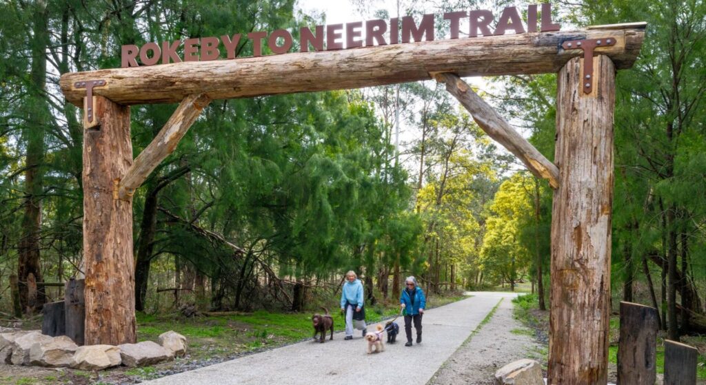
Rokeby to Neerim Railside Trail
West Gippsland, 100km from Melbourne
17 km
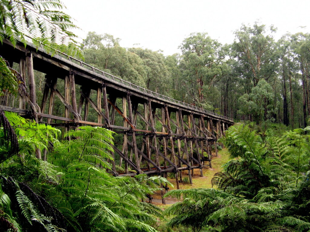
Noojee Trestle Bridge Rail Trail
West Gippsland, 100 km east of Melbourne
3 km
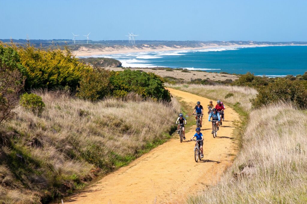
Bass Coast Rail Trail
Bass Coast, 130km south-east of Melbourne
23 km
Great Victorian Rail Trail
90km north of Melbourne
135 km
O’Keefe Rail Trail
Goldfields region,150km north of Melbourne
49 km
Bunny Trail
110 km west of Melbourne
1.2 km
Tyers Junction Rail Trail
Baw Baw Ranges, 30km north of Moe
7 km
Moe – Yallourn Rail Trail
Latrobe Valley, 130km east of Melbourne
7.2 km
Castlemaine to Maldon Trail
120 km north west of Melbourne
18 km
Castlemaine-Maryborough Rail Trail
Central Victoria, 124 km from Melbourne

Nearby Trails
Outer Circle Rail Trail
Eastern suburbs, 6km from Melbourne CBD
17 km
Inner Circle Rail Trail
Inner suburbs, 5km from the CBD
5 km
Sandridge Rail Trail
Melbourne city, 1km from GPO
4 km
Webb Dock Bridge
Docklands, 1 km south-west of Melbourne GPO
0.2 km
Rosstown Rail Trail
Southern suburbs, 9km from the CBD
9 km
Meadowlink Linear Park
Broadmeadows, 20km north of CBD
1.2 km
Ringwood to Belgrave Trail
40km east of Melbourne CBD
17 km
Warburton Rail Trail/Yarra Valley Trail
Yarra Valley, 50km east of Melbourne CBD
48 km
Eastern Dandenong Ranges Trail
Dandenongs, 50km south-east of CBD
15 km
Mornington Rail Trail
Mornington Peninsula, 60km south of CBD
4 km
Bellarine Rail Trail
Bellarine Peninsula, 75km south-west of Melbourne CBD
35 km
Red Hill Rail Trail
Mornington Peninsula, 90km south of CBD
6.3 km
Powelltown Tramway Trails
Yarra Ranges, 80km east of Melbourne
39 km
Fyansford Rail Trail
North Geelong, 5km from town centre
4.4 km
Woodend to Daylesford (incl Domino) Rail Trail
Goldfields, 85km north-west of Melbourne
6 km
Rokeby to Neerim Railside Trail
West Gippsland, 100km from Melbourne
17 km
Noojee Trestle Bridge Rail Trail
West Gippsland, 100 km east of Melbourne
3 km
Bass Coast Rail Trail
Bass Coast, 130km south-east of Melbourne
23 km
Great Victorian Rail Trail
90km north of Melbourne
135 km
O’Keefe Rail Trail
Goldfields region,150km north of Melbourne
49 km
Bunny Trail
110 km west of Melbourne
1.2 km
Tyers Junction Rail Trail
Baw Baw Ranges, 30km north of Moe
7 km
Moe – Yallourn Rail Trail
Latrobe Valley, 130km east of Melbourne
7.2 km
Castlemaine to Maldon Trail
120 km north west of Melbourne
18 km
Castlemaine-Maryborough Rail Trail
Central Victoria, 124 km from Melbourne
2 reviews of “Hawthorn to Kew Rail Trail”
The difference between the first half of this trail (wide and smooth) and the northern part (narrow and bumpy) is amazing. It would be great if they could extend it through the California Hotel site when that is finally redeveloped.
I walked this trail this morning with my mother (Saturday 14th March 2015) – it is too short to ride it. The trail passes through a lovely part of Melbourne’s inner eastern suburbs, with a mixture of old grand houses and modern apartments on the sides of the parklands/trail. The trail is in good condition, especially through Grace Park – and the LE Bray Reserve is a great park. We took a detour and walked through Glenferrie oval – good to see the old football ground is in a reasonable state. The trail is in a great location, nearby to cafe and restaurant strips along Glenferrie Rd, Burwood Rd and Powers St. Lucky for the locals that live nearby.