 Location:
 Length:
 Surface:
 Start / End:
 Suitable for:
Just a small sample of the former Warragul to Noojee Line that carried huge amounts of timber from the area, the 17km Rokeby to Neerim railside trail should be visited in conjunction with a trip to the Noojee Trestle Bridge.

- Significant native forest, including mountain grey gums, in the 360ha Crossover Regional Park
- Wombats, spiny anteaters, wallabies, sambar deer and birds including black-faced monarchs, olive whistlers and Superb lyrebirds hiding in the ferny gullies
- A good all-weather trail with many facilities
- Interpretive signs at regular intervals
- Stunning views of prime, high-country farms as you climb towards Neerim
Nearby Attractions
- Noojee Heritage Centre explains some of the history of the area
- Noojee Trestle Bridge Rail Trail
- Crossover Mountain Bike Park with 22km of trails
- Tarago Reservoir
- Mt Baw Baw
- Bush camping areas
Last updated: 12 November 2025
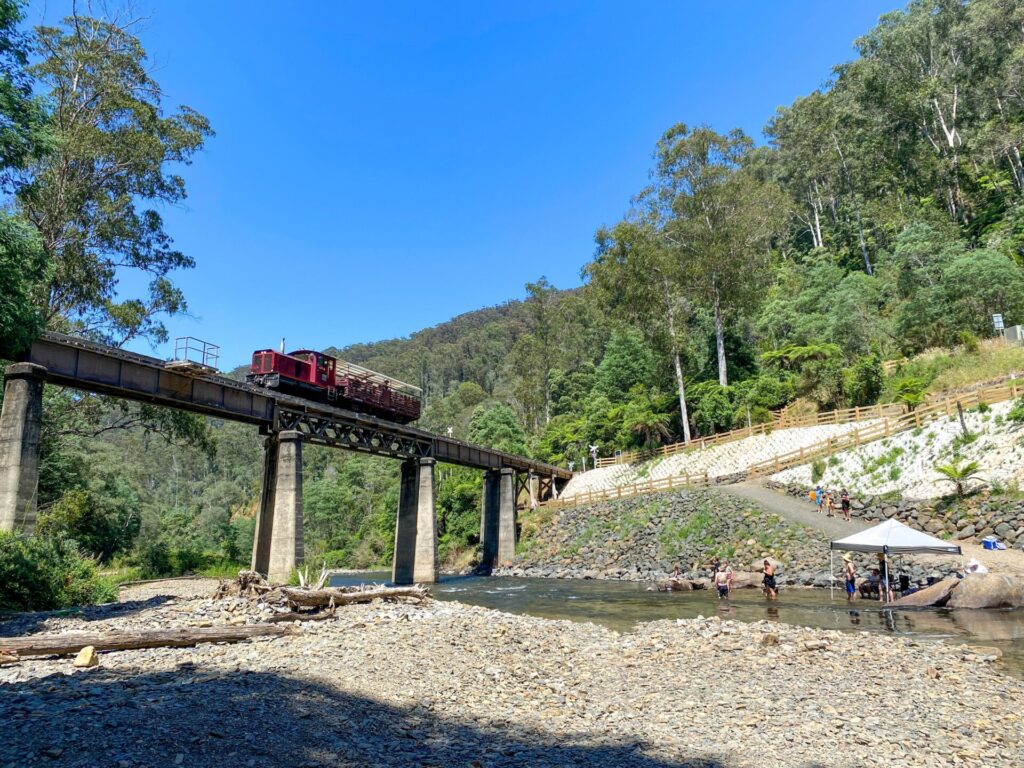
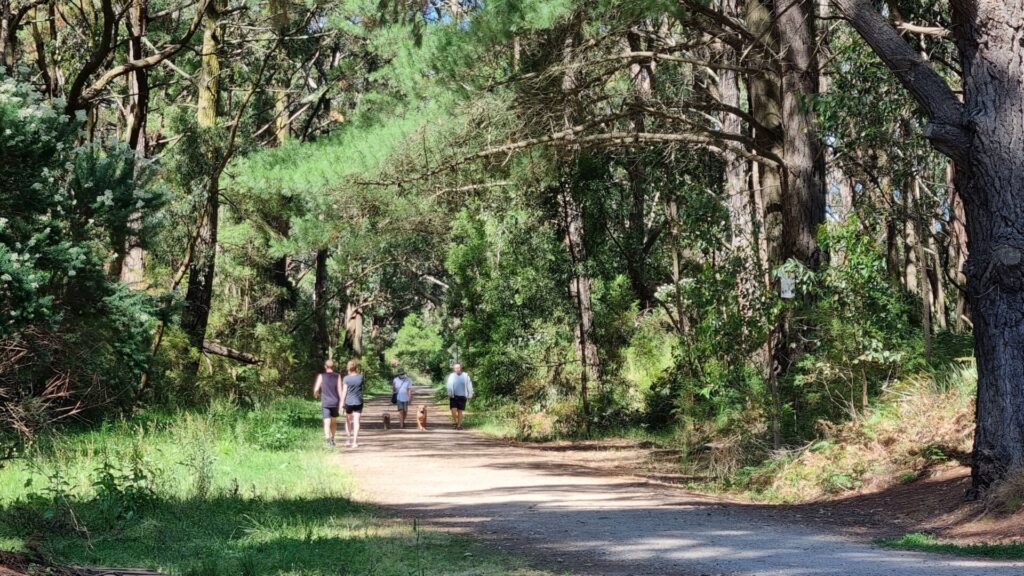
This little gem of a railside trail follows part of the Warragul to Noojee Line that featured the tallest trestle bridges in the Southern Hemisphere. The surviving Noojee Trestle was not the tallest but work is underway to extend this trail to the Noojee one listed separately on this website.
After Crossover, the shared path deviates widely from the railway corridor for most of its length, so the gradients are not as kind as on a rail trail.
The main sections of the trail are:
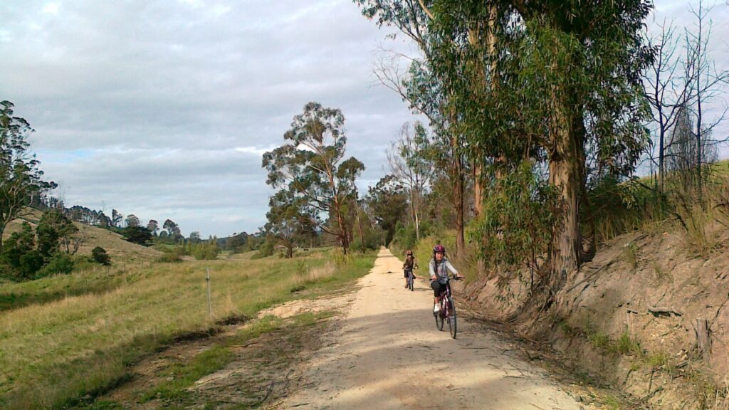
- Bravington to Crossover (5km): A bushwalkers’ paradise centred on the Rokeby Flora and Fauna Reserve and Crossover Regional Park, with a short footpath section between the two
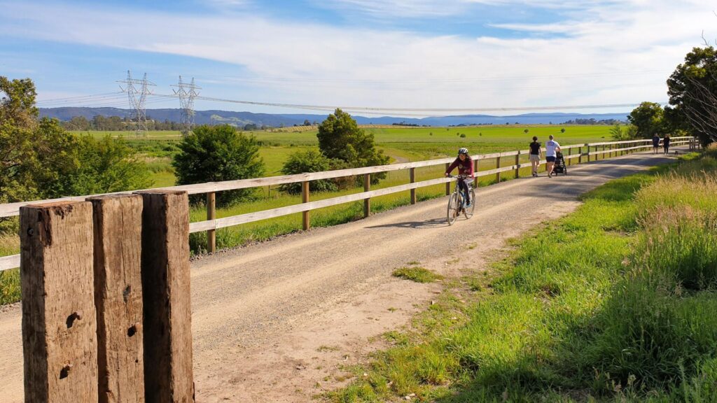
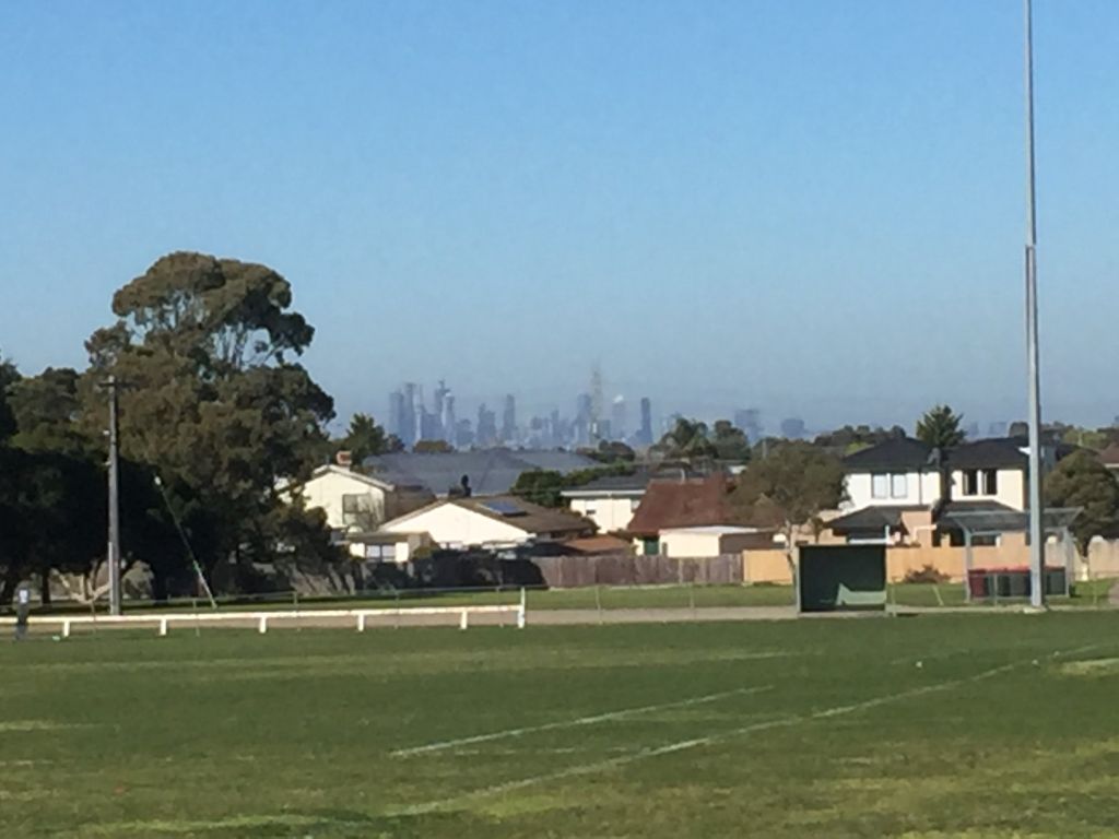
- Crossover to Neerim (12km): The trail climbs out of a blocked cutting for the second time, and becomes a railside trail close to the highway with views over beautiful farm land, with the railway corridor sometimes visible in the valley to the east
There are distance markers along the trail. In an emergency, call 000 and quote the alpha-numeric code on the emergency marker closest to your location
Section Guides
Bravington to Rokeby (1.5km)
- Access: There is limited on-street parking at the entrance to the Rokeby Flora and Fauna Reserve, which is on the northern side of Old Telegraph Rd West, Bravington
- Enter the flora and fauna reserve, established in the 1960s, where you will find a number of endangered native plants
- A short side path on the left leads to the Tarago River picnic area, a grassy spot with a picnic table, seats and good fishing
- Sadly, someone filled in the cutting at Brandy Creek Rd, so you have to turn hard right after just 1km and climb out of the cutting and up that road to Rokeby Recreation Reserve. There’s a narrow path most of the way that takes you past the village hall to Lavinia St and the start of the next section. Alternatively, start at the sparkling trail hub for the next section and walk this bit south and back
- Rokeby has a substantial market on the second Saturday of the month.
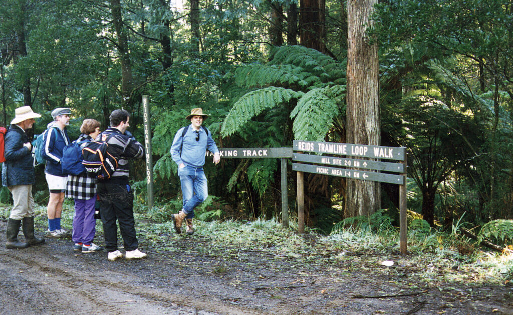
Rokeby to Crossover (3.8km)
- Access: Trail hub at end of Lavinia St, Rokeby, at southern end of Crossover Regional Park. Toilets in recreation reserve hall near Frederick St
- This stretch is on a 1-in-40 grade, which was the steepest continuous climb on the line between Warragul and Noojee but still very gentle
- Watch for the interpretive signs in a shelter and mountain bike tracks in the bush, built with the blessing of Parks Victoria
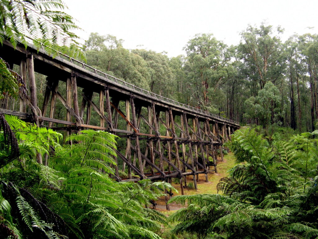
- At the top end of this dead-end section of rail trail is the heritage-listed Crossover Trestle Bridge, built by the railway contractor in 1891 to get road traffic over the railway line’s deep cutting.
- Just before the bridge, the trail climbs to the west from the railway corridor to Bridge Rd.
Crossover to Neerim (12km)
- Access: There’s a trail hub at the end of Bridge Rd, Crossover
- Much of this section of the railway is now in private hands, but you can get an idea of what the train trip was like by travelling along the railside trail to Neerim South and looking down into the Red Hill Creek valley on your right
- The gravel trail follows the road reserve so is more lumpy than you might be used to
- The main street of Neerim South has the former railway station’s turntable cone on display
- There’s also a good range of shops, picnic tables, cafes, public toilets and accommodation
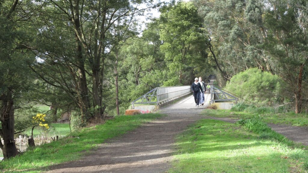
- The trail re-joins the railway corridor about 5km north of Neerim South (see map) for some spectacular mountain views at Apex Lookout.
- The trail ends at Elton Rd, Neerim, but you can start here and head south for a less challenging trip
- Planning is underway to extend the shared path to join the Noojee Rail Trail
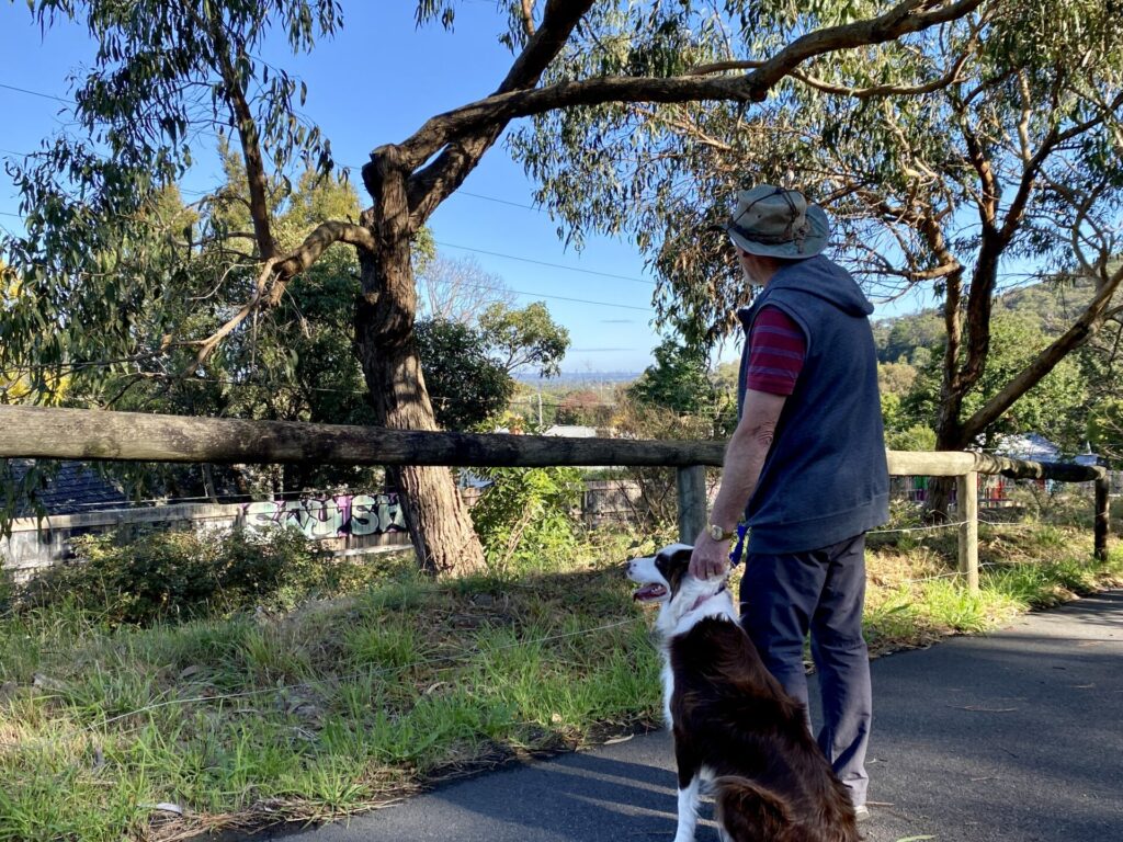
![Horse riders approach the trail hub at Rokeby [Baw Bay Shire, 2025]](jpg/v27-100-64rokeby-to-noojee-trail-stage-one-opening5-e1760516787774-300x160.jpg)
Horse riders approach the trail hub at Rokeby [Baw Bay Shire, 2025]
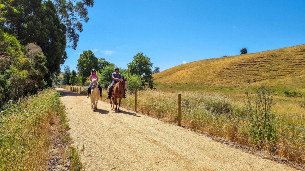
![Mustering dad and the kids in the Crossover Regional Park [2023]](jpg/v27-110-mustering-dad-and-the-kids-on-horseback-in-the-crossover-regional-park-2023-1573-300x170.jpg)
Mustering dad and the kids in the Crossover Regional Park [2023]
![Walkers check their progress out of the sun at information shelter [2023]](jpg/v27-120-walkers-check-their-progress-at-the-information-shelter-near-crossover-2023-1575-300x171.jpg)
Walkers check their progress out of the sun at information shelter [2023]
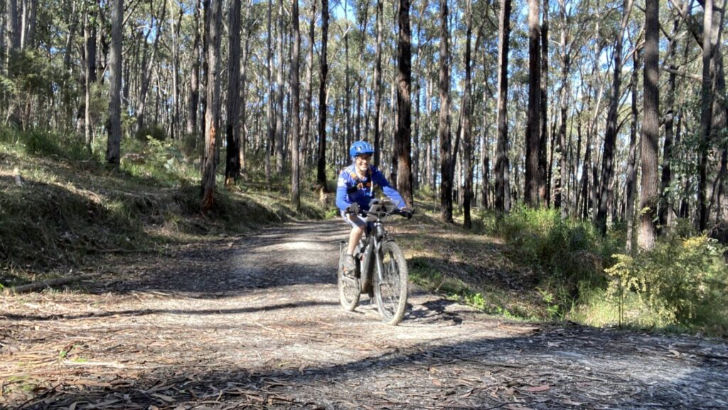
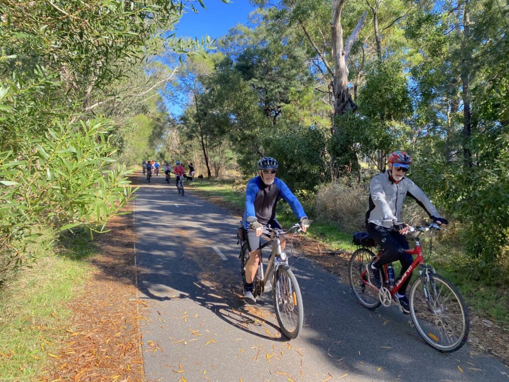
![The trail width and surface have been substantially improved [2025]](jpg/v27-130-rokeby-neerim-trail-2025-img_7260-300x170.jpg)
The trail width and surface have been substantially improved [2025]
![Efforts to secure funding for the trestle bridge have been unsuccessful [2018]](jpg/v27-150-crossover-bridge-2013-300x170.jpg)
Efforts to secure funding for the trestle bridge have been unsuccessful [2018]
![Exiting the cutting near Crossover Trestle onto Bridge Rd [2025]](jpg/v27-160-exiting-the-cutting-near-crossover-trestle-2025-img_7234-300x170.jpg)
Exiting the cutting near Crossover Trestle onto Bridge Rd [2025]
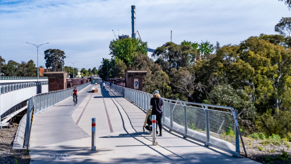
![Widened trail near Neerim Bower sculpture approaching town [2025]](jpg/v27-200-improved-trail-approaching-neerim-south-2025-img_7243-300x168.jpg)
Widened trail near Neerim Bower sculpture approaching town [2025]
![Compromised shared path along service road through Neerim South [2025]](jpg/v27-200-compromised-shared-path-through-neerim-south-2025-img_7253-300x170.jpg)
Compromised shared path along service road through Neerim South [2025]
![Viewing platform at Apex Lookout overlooking Tarago Reservoir [2025]](jpg/v27-210-new-viewing-platform-at-apex-lookout-2025-img_7248-300x170.jpg)
Viewing platform at Apex Lookout overlooking Tarago Reservoir [2025]
Do you know of a bike hire or transportation service on this rail trail that should appear here? If so, let us know at admin@railtrails.org.au.
Information and Links
 The Rokeby and Crossover Friends Group Inc. was formed in late 2003 by local people who shared an interest in this beautiful slice of bush. Their aim is to protect and maintain it so it can remain a clean and safe home for wildlife and be enjoyed by the various user groups who visit the area. For further information, click here
The Rokeby to Neerim Trail is managed by Baw Baw Shire Council and Parks Victoria.
Information on tourism services is available here or by calling Baw Baw Shire 1300 BAW BAW (1300 229 229) or 5624 2411.
Contact Rail Trails Australia
To contact us about this rail trail, email vic@railtrails.org.au
Background Information
Traditional owners
We acknowledge the Kurnai people, the traditional custodians of the land and waterways on which the rail trail is built.
Development and future of the rail trail
![]() Baw Baw Shire is planning to extend the Rokeby Neerim Trail to the Noojee Trestle Bridge. The existing shared path through Neerim South to the Apex Lookout and the outskirts of Neerim was upgraded in 2025. The 28km route to Noojee will use a mix of existing and new shared paths and is subject to funding from the state government. It is not feasible to build it along the railway corridor because of the large number of trestle bridges that would have to be replaced
Baw Baw Shire is planning to extend the Rokeby Neerim Trail to the Noojee Trestle Bridge. The existing shared path through Neerim South to the Apex Lookout and the outskirts of Neerim was upgraded in 2025. The 28km route to Noojee will use a mix of existing and new shared paths and is subject to funding from the state government. It is not feasible to build it along the railway corridor because of the large number of trestle bridges that would have to be replaced
Railway history
The Noojee Line was opened in sections from 1890 to 1919 and closed between 1954 and 1958. Many sections have since been sold. The railway was built in 1890-91 as part of a Victorian Government plan to open access to regional Victoria.
It was a branch line from Warragul to Neerim South for passengers, timber and agricultural equipment and produce. In 1917-19 the line was extended to Noojee, but 1926 bushfires burned out bridges and a large amount of line. The railway sustained further major damage in the 1939 Black Friday bushfires. By the 1950s the railway was finding it hard to compete with road transport and began closing in stages, until it finally shut in 1958.
Since then, the Crossover Trestle Bridge has been in decline due to lack of maintenance. Many of the decking timbers are rotten, yet many of the trestle uprights appear stable. The bridge has considerable artistic, engineering and tourist merit. One fascinating aspect was the picket-style safety railing for the cars. There is also the depth of the fern-lined cutting below, through which the trains laboured.
Major Upgrade To Popular West Gippsland Trail
Posted: 20/09/25
A $4 million upgrade to the Rokeby to Crossover Rail Trail, with dramatic improvements on the ...
More...Baw Baw Forges Ahead
Posted: 07/12/22
Inspired by the success of the 5km Rokeby to Crossover Rail Trail, Baw Baw Council ...
More...Baw Baw Shire allocates $2.2 million to Noojee Rail Trails
Posted: 31/05/21
After a $150,000 feasibility study last year, Victoria's Baw Baw Shire has allocated $2.2 million in its 2021/22 ...
More...Rokeby Crossover Twilight Fun Run
Posted: 16/02/21
The Rokeby Crossover Friends Group is holding the 2021 Twilight Fun Run featuring the Rokeby to ...
More...Nearby Trails
Noojee Trestle Bridge Rail Trail
West Gippsland, 100 km east of Melbourne
3 km


Powelltown Tramway Trails
Yarra Ranges, 80km east of Melbourne
39 km
Tyers Junction Rail Trail
Baw Baw Ranges, 30km north of Moe
7 km
Moe – Yallourn Rail Trail
Latrobe Valley, 130km east of Melbourne
7.2 km
Erica to Thomson Rail Trail
Baw Baw Ranges, 165km east of Melbourne
7.3 km
Eastern Dandenong Ranges Trail
Dandenongs, 50km south-east of CBD
15 km
Warburton Rail Trail/Yarra Valley Trail
Yarra Valley, 50km east of Melbourne CBD
48 km
Grand Ridge Rail Trail
Strzelecki Ranges, 160km east of Melbourne
13 km
Ringwood to Belgrave Trail
40km east of Melbourne CBD
17 km

Great Southern Rail Trail
South Gippsland, 130km south-east of Melbourne
136 km
Bass Coast Rail Trail
Bass Coast, 130km south-east of Melbourne
23 km
Gippsland Plains Rail Trail
Latrobe Valley, 190km east of Melbourne
62 km
Mornington Rail Trail
Mornington Peninsula, 60km south of CBD
4 km
Outer Circle Rail Trail
Eastern suburbs, 6km from Melbourne CBD
17 km
Rosstown Rail Trail
Southern suburbs, 9km from the CBD
9 km
Hawthorn to Kew Rail Trail
Inner suburbs, 9km east of Melbourne CBD
1 km
Red Hill Rail Trail
Mornington Peninsula, 90km south of CBD
6.3 km
Inner Circle Rail Trail
Inner suburbs, 5km from the CBD
5 km
Sandridge Rail Trail
Melbourne city, 1km from GPO
4 km
Webb Dock Bridge
Docklands, 1 km south-west of Melbourne GPO
0.2 km
Meadowlink Linear Park
Broadmeadows, 20km north of CBD
1.2 km
Great Victorian Rail Trail
90km north of Melbourne
135 km
Nearby Trails
Noojee Trestle Bridge Rail Trail
West Gippsland, 100 km east of Melbourne
3 km
Powelltown Tramway Trails
Yarra Ranges, 80km east of Melbourne
39 km
Tyers Junction Rail Trail
Baw Baw Ranges, 30km north of Moe
7 km
Moe – Yallourn Rail Trail
Latrobe Valley, 130km east of Melbourne
7.2 km
Erica to Thomson Rail Trail
Baw Baw Ranges, 165km east of Melbourne
7.3 km
Eastern Dandenong Ranges Trail
Dandenongs, 50km south-east of CBD
15 km
Warburton Rail Trail/Yarra Valley Trail
Yarra Valley, 50km east of Melbourne CBD
48 km
Grand Ridge Rail Trail
Strzelecki Ranges, 160km east of Melbourne
13 km
Ringwood to Belgrave Trail
40km east of Melbourne CBD
17 km
Great Southern Rail Trail
South Gippsland, 130km south-east of Melbourne
136 km
Bass Coast Rail Trail
Bass Coast, 130km south-east of Melbourne
23 km
Gippsland Plains Rail Trail
Latrobe Valley, 190km east of Melbourne
62 km
Mornington Rail Trail
Mornington Peninsula, 60km south of CBD
4 km
Outer Circle Rail Trail
Eastern suburbs, 6km from Melbourne CBD
17 km
Rosstown Rail Trail
Southern suburbs, 9km from the CBD
9 km
Hawthorn to Kew Rail Trail
Inner suburbs, 9km east of Melbourne CBD
1 km
Red Hill Rail Trail
Mornington Peninsula, 90km south of CBD
6.3 km
Inner Circle Rail Trail
Inner suburbs, 5km from the CBD
5 km
Sandridge Rail Trail
Melbourne city, 1km from GPO
4 km
Webb Dock Bridge
Docklands, 1 km south-west of Melbourne GPO
0.2 km
Meadowlink Linear Park
Broadmeadows, 20km north of CBD
1.2 km
Great Victorian Rail Trail
90km north of Melbourne
135 km
10 reviews of “Rokeby to Neerim Railside Trail”
Equipment: GIANT Hybrid 700*32 tyres.
Rider: 69 yo woman
We started at Rokeby, enjoying the stellar trees and environs. The first hill down was very steep for someone who doesn't know what to expect below. Then the rail trail is, as everyone says, absolutely lovely but instead of continuing under the Crossover Trestle Bridge, it takes a sharp left up a steep bit. I had to walk it up to the picnic table.
After I caught my breath, we continued on to share a road with cars for a time.
Then, there were areas where you might get to go downhill for a breather, but nope. You can't get speed up down hill because there were curb-like culverts particularly outside a giant trucking drive. He was actually leaving as we stopped for him. at that point, I called ahead to my husband and said I was turning back. There was poor telephone connectivity and he'd actually texted me 15 minutes previous saying, "TURN BACK. MORE RIDICULOUS STEEP BITS" – and he's a very fit ride rider. Boolarra is better.
RT69/70 What a difference $4 million makes. Fancy trail hubs at Rokeby and Crossover, lots of new signage, duplicating the old stuff in some cases, much improved surface and even chip seal for the on-road sections along Bridge and Beck roads. The residents must be happy
I rode this lovely rail trail on a beautiful autumn day and was impressed with all the effort that had gone into its maintenance and signage. The steady incline amongst the tall gums and tree ferns took me to the Crossover Bridge and I then followed the Rokeby to Neerim Trail (ie not an official rail trail) all the way to the Neerim Cemetary which was a little bit further on from the end of the trail. At three places along the way were construction crews digging and replacing sections of the trail surface so it bodes well for future riders. The Rokeby to Neerim Trail basically follows the road and supplies lovely vistas over the surrounding countryside and distant hills, and Neerim South provides facilities and refreshments along the way.
From the Crossover Bridge I thoroughly enjoyed the gentle 5km coast back down the very long and straight rail trail to my start point. All up, 34km with 500m elevation. Chapeau to all the dedicated people who maintain these trails!
My! what a beautiful area and not one we had visited before. The sky was azure blue and the temperature north of 25deg when we commenced our walk about 10 am from Rokeby Recreational Park heading along the Rokeby Crossover Rail Trail. We were thirteen strong and ready to tackle the 8km return trip.
Surprised and somewhat impressed to see at the start of the path that it was freshly laid concrete wide enough for vehicular use, and wondered if it was more than just pedestrians and bikes that used the trail, this quickly changed however, once around the bend to a conventional rail trail surface providing a more natural vista rather than a man made one.
The way was dappled in shade from the many magnificently tall ramrod straight trees (mostly gum varieties, 100+ feet) on each side of the track, along with the occasional cool breeze which made for pleasant walking despite the increasing heat and much to our relief!
The trail essentially navigates through the Crossover Regional Park with views of the Tarago Reservoir, Bunyip State Park and Mt Baw Baw, finishing with towering views of the Crossover Trestle Bridge a remanent of the early 19th Century gold mining days. The rail service in the area after the gold rush at Pilgrim Creek in 1892 until the mid-1950’s providing passenger and freight services. Thanks Georgie for writing this review
It's a trail of two halves, the southern half was a welcome relief after riding through rolling farmland from Drouin and even in November, it was wet in places. Turning left to the river at the T-Intersection is an absolute must and probably the highlight of the ride with the picnic table on the banks of the river. Unfortunately that t-intersection is the end of the railway formation with missing bridges and VicRoads/CRB plonking a new embankment on top of the former railway. Such a short visit to a grand engineering feat of the entire railway.
The second half is a climb all the way to the heritage listed Crossover trestle bridge which is in dire need of maintenance. This trestle is a road bridge and honestly this is not the show stopper so try the Noojee trestle if you want to see a decent bridge. Off this trail are MTB tracks so access is easy to get to the head of the track. On the other side of the bridge, you can spot the former Crossover station platform from the roadside.
If you want a downhill ride for the kids with a car shuffle or want to combine with some very old school MTB then this is for you otherwise there are many better trails.
This is my local trail and I've watched it deteriorate over the past six years. In the winter of 2022 one 30-metre section around the 2km mark became impassable and a short hike-a-bike in the bush was necessary. The last kilometre up to the Crossover trestle bridge was more like a creek after any rain and there was plenty of it. It's dried out over summer and is pretty good now. The good news is that Baw Baw Shire have promised to improve the trail, especially the extended trail (not on the original railway formation) from Crossover to Neerim. A lot of scrub clearing was done early in 2023, improving the aesthetics along the 4kms of trail from Rokeby to Crossover. Here's hoping it's a harbinger of better things to come.
This was the first of three short trails my husband and I undertook over 3 days (Moe-Yallourn and Grand Ridge the other 2) – see comments on their respective pages). Signage to find the start at Rokeby was good. Trail surface is quite rough (making the going on my skinny tyred road bike a bit challenging at times – my husband’s hybrid was more suitable). The section from Crossover to Neerim Sth (while not technically a rail trail so therefore a combination of gravel road, gravel packed path adjacent to main road and dirt bush track) was quite well signposted – we missed one and spent a few hundred metres on the main road before refinding the path running parallel to the road. We realised when we turned at Neerim Sth for the return leg just how much climbing we had done on the outward leg – the return trip was all downhill.
I rode this trail today (26th December 2014) – the trail has been extended so you can ride all the way to Neerim – the part from Rokeby to Crossover is for mountain bikes – a hybrid should be okay, but will struggle when wet. The best parts are the views as you ride around Neerim. The trestle bridge at Crossover is no different from many of the other trestle bridges you can see on other rail trails around Victoria.
The signage issue has been addressed with new markers along the track and a new directional sign at Crossover end.
Gradual uphill climb from Rokeby to Crossover. Toilet, BBQ and playground facilities at Rokeby. Well maintained track, although trail bike riders seem to think they can use it too. The Crossover end ended abruptly with no signage on where to go next. Pleasent ride all the same.