 Location:
 Length:
 Surface:
 Start / End:
 Suitable for:
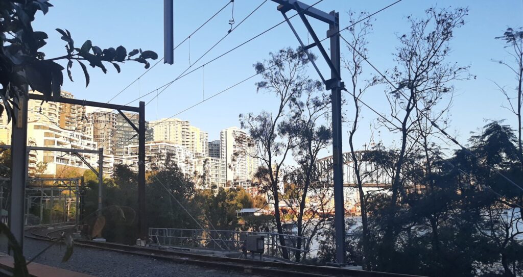
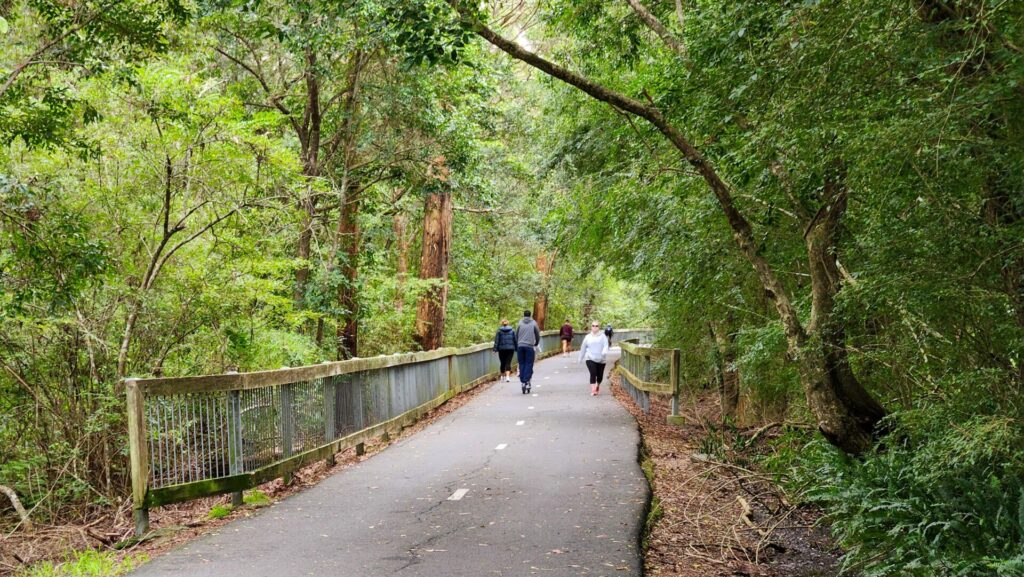
The Goods Line is a partly elevated 1km walkway from Central Station in Sydney's CBD to Darling Harbour.

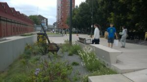
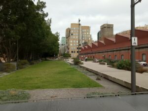
- The Goods Line offers a refuge from the busy Sydney CBD. It is a linear park and green space with public seating, performance areas, lawns, table tennis tables and items of railway heritage, and has won many design awards
- The Hay Street Market food precinct is a short distance along Hay Street from the north end of the trail, offering many food and drink options
Nearby Attractions
- The Goods Line passes the University of Technology (UTS) campus and ABC studios, and provides easy access to the Ian Thorpe Aquatic Centre, the Darling Harbour precinct, and the Powerhouse Museum. Please note the Powerhouse Museum is closed for renovations as at October 2025.
Last updated: 5 January 2026
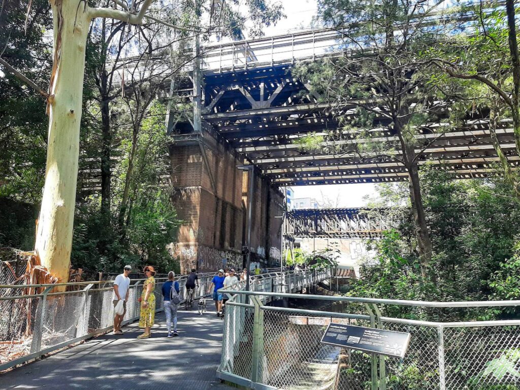
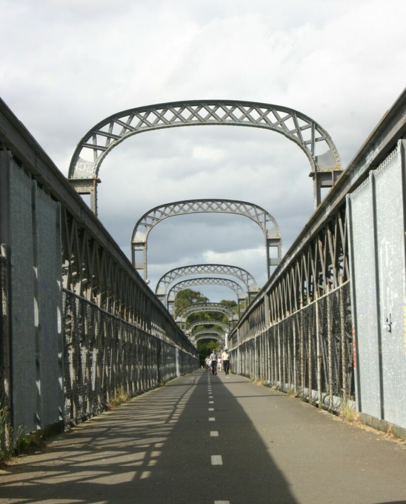
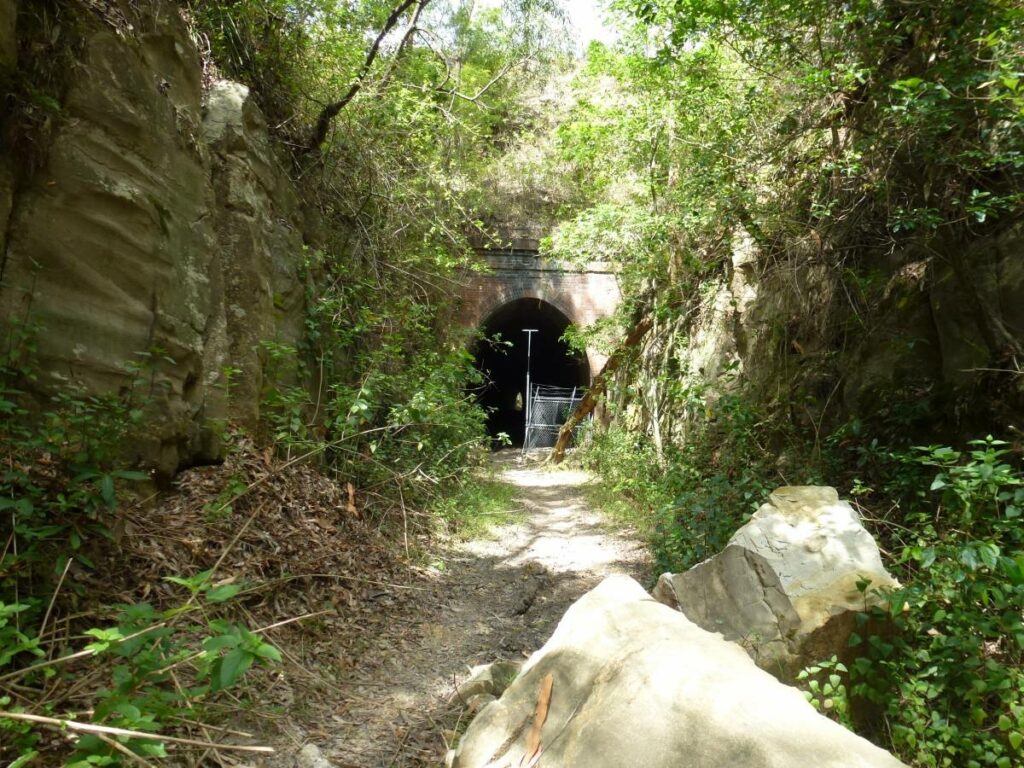
Stage 1 of the Goods Line can be reached from Central Railway Station’s Devonshire St pedestrian tunnel in the south, and at various points along its route to the Powerhouse Museum (temporarily closed as at October 2025) in the north. There are displays and relics along the route that showcase railway heritage, including Ultimo Rd’s heritage railway bridge.
Access at the northern end closest to Darling Harbour is via stairs at the corner of Hay Street and Darling Drive.
The Line can be ridden, but for such a short length with so many features, a slow stroll is better.
Looking north - the Goods Line, Sydney
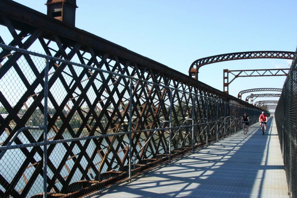
The Goods Line, Sydney
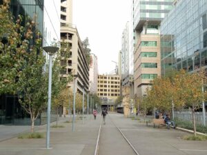
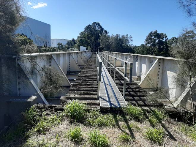
The Goods Line, Sydney
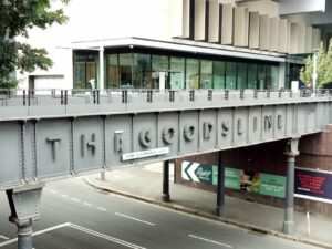
Converted rail bridge on the Goods Line
Do you know of a bike hire or transportation service on this rail trail that should appear here? If so, let us know at admin@railtrails.org.au.
Information and Links
For further information go to:
https://www.nsw.gov.au/visiting-and-exploring-nsw/locations-and-attractions/goods-line
https://en.wikipedia.org/wiki/The_Goods_Line
https://www.broadsheet.com.au/sydney/art-and-design/article/riding-goods-line
The trail is managed by the NSW Government – Department of Planning, Industry & Environment
Contact Rail Trails Australia
To contact us about this rail trail, email nsw@railtrails.org.au
Background Information
Traditional owners
We acknowledge the Gadigal people, the traditional custodians of the land and waterways on which the rail trail is built.
Development and future of the rail trail
The port facilities at Darling Harbour closed and the precinct was extensively redeveloped in the 1980s. The disused industrial line between Hay St Ultimo and Lilyfield was incorporated into a light rail line that extended through Haymarket to connect to Central Station.
The light rail has been extended to Dulwich Hill and is known as the Sydney Light Rail L1 Dulwich Hill Line. A trip on the light rail and an exploration around some of its stops , especially around John St Square in Pyrmont, where there are some deep stone cuttings, is worthwhile for those interested in railway heritage.
Future developments may include an extension to the disused Regent St railway station, using the rail tunnel beneath Railway Square.
Rail line history
The Goods Line is a short section of a former industrial railway that connected Sydney Yard and the Sydney-Parramatta railway line to the port of Darling Harbour. The line opened in 1855 and was extended to Dulwich Hill in 1922, providing a way for freight trains to reach Darling Harbour without interfering with passenger trains. Cargoes included wheat and wool.
Pippita Rail Trail gets development funding
Posted: 11/08/22
NSW Minister for Infrastructure, Cities and Active Transport Rob Stokes has announced funding of $770,000 for ...
More...The Goods Line in Sydney is part of the Vivid Sydney festival
Posted: 30/05/22
Vivid Sydney is an annual light show that bares the soul of the city through ...
More...Nearby Trails
Lavender Bay “High Line”
Milsons Point to Waverton

Cooks to Cove Greenway
Sydney
6 km


Meadowbank Railway Bridge
15 km west of Sydney
0.5 km
Pippita Rail Trail
19km west of Sydney, near Sydney Olympic Park
Como Bridge
20 km south of Sydney
2 km
Rosehill to Carlingford rail trail
Western Sydney, 23km west of CBD
5 km
Parramatta to Liverpool rail trail
Western Sydney, 25km west of CBD
16 km
Lapstone Zig Zag rail trail
Lower Blue Mountains, 60 km west of Sydney
1.5 km
Mt Kembla Memorial Pathway rail trail
Illawarra region, 100km south of Sydney
2 km
Box Vale Tk rail trail
Southern Highlands, 110km south-west of Sydney
4 km
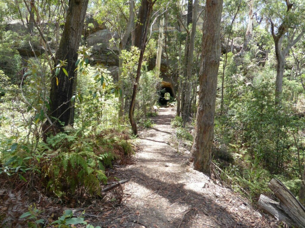
Awaba – Wangi Wangi Rail Trail
130 km north of Sydney
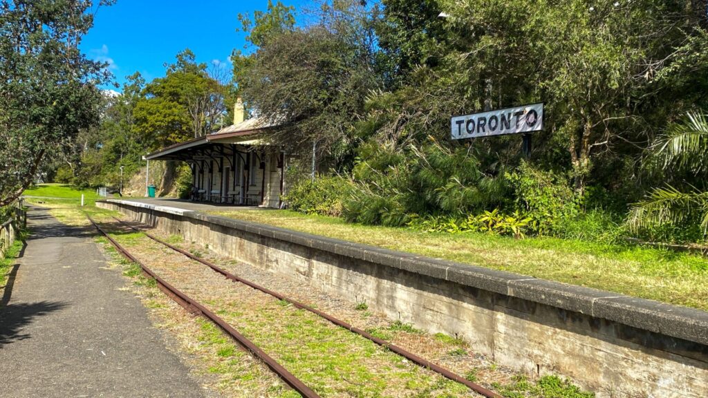
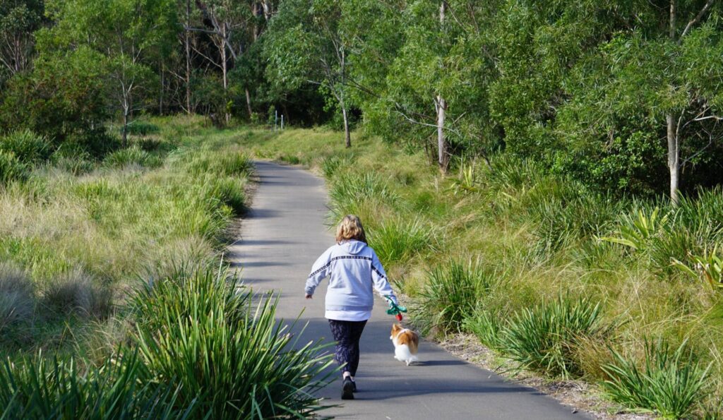
Fassifern to Toronto Greenway rail trail
Lower Hunter, 26km south-west of Newcastle CBD
4 km
Fernleigh Track rail trail
Lower Hunter, 5km south of Newcastle CBD
16 km
Wolgan Valley Rail Trail
Wolgan Valley, 190km west of Sydney
11 km
Wallsend tramway rail trail
Lower Hunter, 13km west of Newcastle CBD
9 km
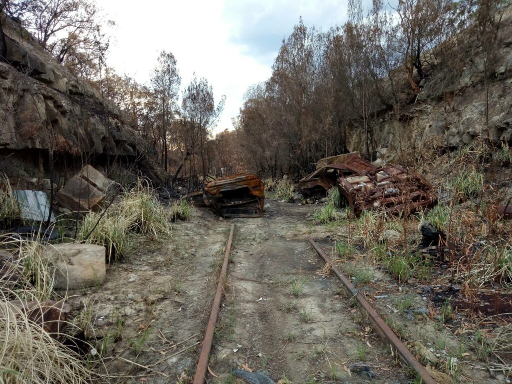
Richmond Vale Rail Trail
160 km north of Sydney, 12 km northwest of Newcastle
Nearby Trails
Lavender Bay “High Line”
Milsons Point to Waverton
Cooks to Cove Greenway
Sydney
6 km
Meadowbank Railway Bridge
15 km west of Sydney
0.5 km
Pippita Rail Trail
19km west of Sydney, near Sydney Olympic Park
Como Bridge
20 km south of Sydney
2 km
Rosehill to Carlingford rail trail
Western Sydney, 23km west of CBD
5 km
Parramatta to Liverpool rail trail
Western Sydney, 25km west of CBD
16 km
Lapstone Zig Zag rail trail
Lower Blue Mountains, 60 km west of Sydney
1.5 km
Mt Kembla Memorial Pathway rail trail
Illawarra region, 100km south of Sydney
2 km
Box Vale Tk rail trail
Southern Highlands, 110km south-west of Sydney
4 km
Awaba – Wangi Wangi Rail Trail
130 km north of Sydney
Fassifern to Toronto Greenway rail trail
Lower Hunter, 26km south-west of Newcastle CBD
4 km
Fernleigh Track rail trail
Lower Hunter, 5km south of Newcastle CBD
16 km
Wolgan Valley Rail Trail
Wolgan Valley, 190km west of Sydney
11 km
Wallsend tramway rail trail
Lower Hunter, 13km west of Newcastle CBD
9 km
Richmond Vale Rail Trail
160 km north of Sydney, 12 km northwest of Newcastle
2 reviews of “Goods Line”
We walked on this rail trail today. It’s reasonably short but has plenty of historical interest, and it passes the Frank Gehry-designed UTS Business School building known as the “crumpled paper bag”. The new Hay Street Market food precinct is a short walk from the northern end of the trail and is a great place to visit for food and drinks from around the world.
This rail trail is recommended for all visitors to Sydney.
Vivid Sydney has a number of great displays on The Goods Line until 18 June 2022, including Convergence which gives a peek inside the normally closed tunnel at the southern end of the trail.
https://www.vividsydney.com/locations/central-station-and-the-goods-line
https://www.vividsydney.com/event/light/convergence