 Location:
 Length:
 Surface:
 Start / End:
 Suitable for:
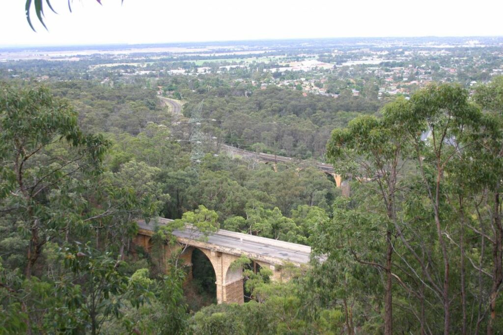
The Cooks to Cove Greenway is an environmental and active travel corridor linking the Cooks River at Earlwood with the Parramatta River at Iron Cove. It mostly follows the route of the Inner-West Light Rail and Hawthorne Canal, and features bike paths and foreshore walks, cultural and historical sites, cafes, bush care sites and a range of parks, playgrounds and sporting facilities

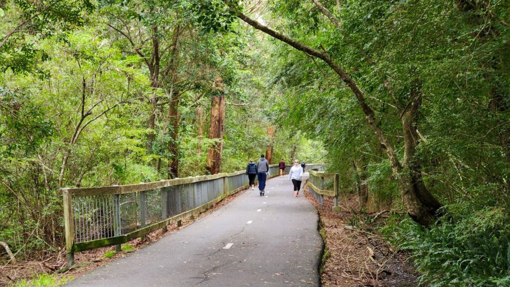
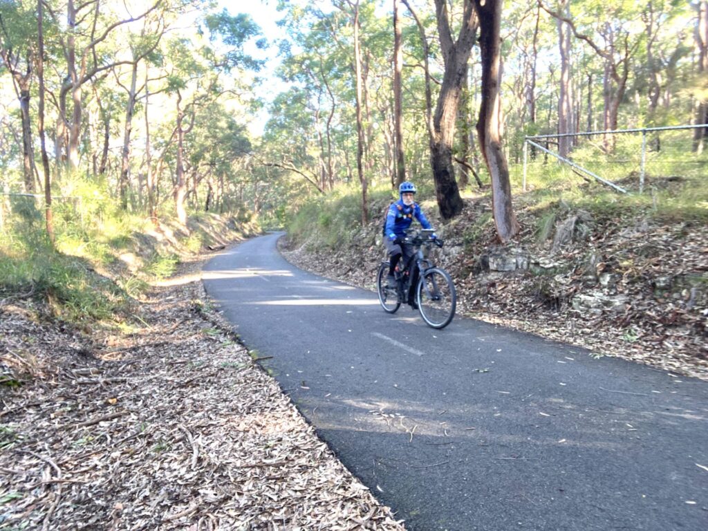
The Greenway is a 6km shared path that connects two of Sydney’s most popular trails, stretching from the Cooks River in Earlwood through the heart of Sydney’s inner-west to the popular Bay Run on Parramatta River at Iron Cove.
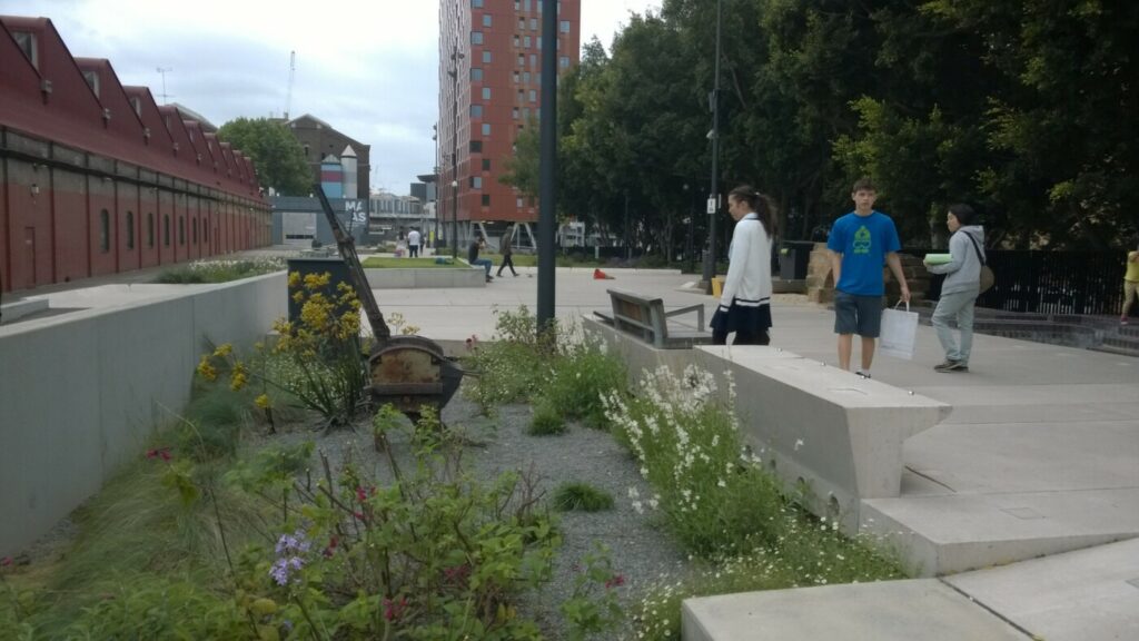
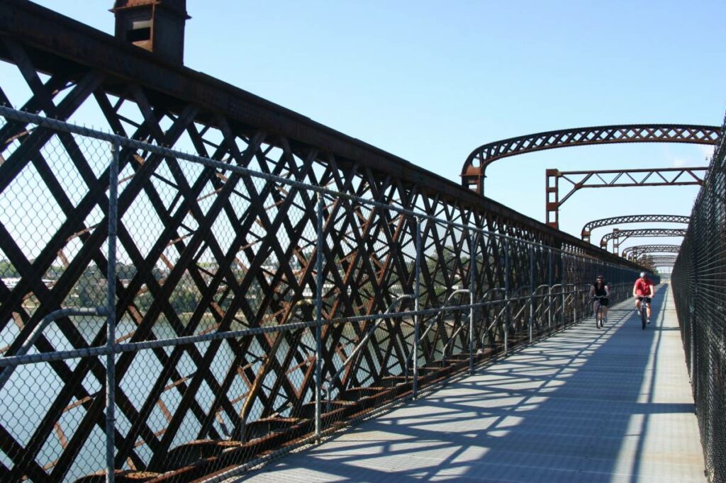
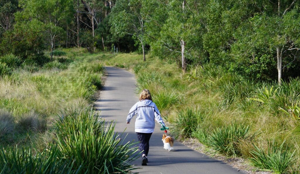
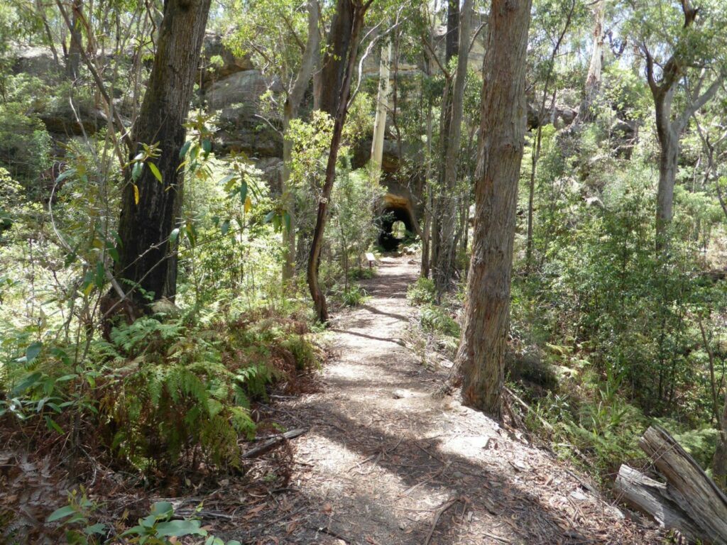
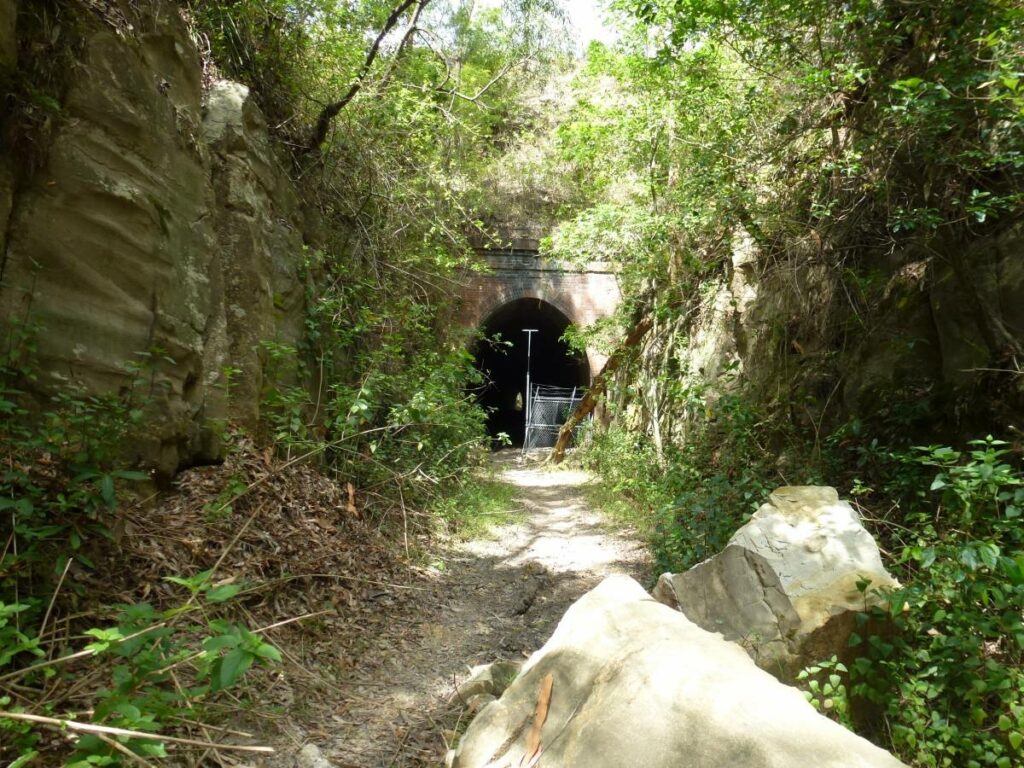
The Greenway is a high quality fully-paved path that is suitable for all types of users. Its features include 8 dedicated artworks, several short tunnels, cultural and historical sites, picnic areas, bike stands, cafes, bushcare sites and a range of parks, playgrounds and sporting facilities that sit alongside the path.
Sydney’s newest rail trail was officially opened by Inner West Council on 14 December, 2025.
Nearby Attractions
- The GreenWay provides access to Sydney’s inner west precincts including Leichhardt and Haberfield, and is easily reached from Sydney’s CBD via the Anzac Bridge, a distance of around 4km.
- The inner west network of suburbs, stretching west of the CBD, has earned a reputation for its lively music and arts scenes, thriving café culture and pulsing nightlife. Norton Street in Leichhardt is one of Sydney’s best-known restaurant strips.
- At the southern end of the GreenWay, the Cooks River offers adds further green credentials, offering quiet off-road pathways back to Botany Bay or further west to Olympic Park.
- The GreenWay offers facilities for the whole family. Dogs on leashes are welcome.
Last updated: 5 January 2026
The Greenway is a signposted shared trail, starting at the Cooks River in the south at Tennent Parade in Earlwood. A short on-street section meets up with the constructed trail at Dulwich Hill station, just to the north of the railway bridge.
There is easy access to the Greenway at all L1 light rail stations from Dulwich Hill to Marion.
There is another short on-road section from Waratah Mills light rail stop to Old Canterbury Road. This section is on Weston Street which is a quiet suburban street. The off-road GreenWay resumes at Old Canterbury Road.
Along the Greenway, users will find numerous places to stop and enjoy the scenery.
A map of the Greenway is available from Inner West Council here
Section Guides
The GreenWay has six precincts:
- Hawthorne Canal Precinct
From Iron Cove to south of Marion Street, including the parklands around Hawthorne Canal including Richard Murden Reserve, Hawthorne Reserve and Blackmore Oval. - Gadigal Reserve Precinct
From south of Marion Street to south of Longport Street, including Gadigal Reserve itself as well as the section between Parramatta Road and Marion Street (including the distinctive avenue of figs) - Mills Precinct
From south of Longport Street to Weston Street, including the area around the Lewisham West light rail station and the on-road stretch along Weston Street. - Dulwich Hill Parks Precinct
From Weston Street to south of New Canterbury Road, including Hoskins Park and Johnson Park immediately adjacent to the GreenWay corridor, and Arlington and Laxton Reserves nearby. Also including the deeply cut rail corridor between Constitution Road and New Canterbury Road. - Dulwich Grove Precinct
From south of New Canterbury Road to north of Ewart Street, including the new linear park proposed in the light rail corridor east of Hercules Street and the existing Jack Shanahan Reserve. - Cooks River Precinct
From north of Ewart Street to the Cooks River, including links on-road, past the golf course and across the Cooks River.
![The boardwalk near Arlington light railway station [2025]](jpg/n05-060-arlington-light-rail-station-2025-12-300x169.jpg)
The boardwalk near Arlington light railway station [2025]
![Tunnel under Davis St at Waratah Mills light rail station [2025]](jpg/n05-070-waratah-mills-light-rail-station-2025-12-davis-st-tunnel-300x248.jpg)
Tunnel under Davis St at Waratah Mills light rail station [2025]
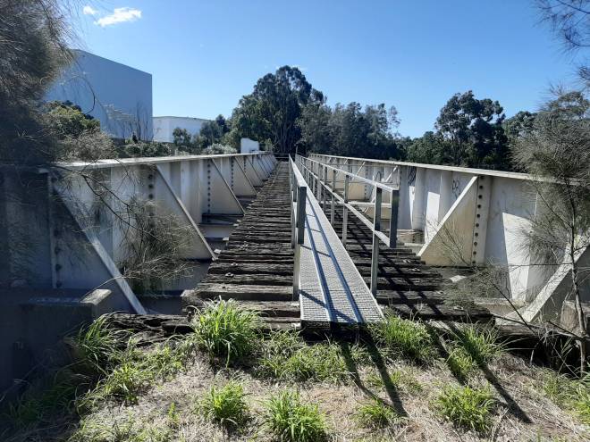
![The impressive heavy rail bridges over the Greenway at Lewisham station [2025]](jpg/n05-100-lewisham-rail-bridge-2025-12-greenway-at-the-western-line-rail-bridge-300x225.jpg)
The impressive heavy rail bridges over the Greenway at Lewisham station [2025]
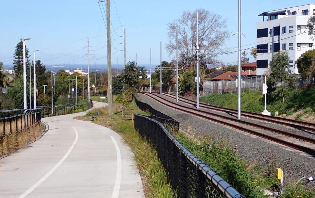
![The Greenway near Lewisham [2025]](jpg/n05-100-near-lewisham-2025-12-300x225.jpg)
The Greenway near Lewisham [2025]
![Some real green in the Greenway [2025]](jpg/n05-110-greenway-mayb-north-or-lewisham-2025-12-pc141145-300x169.jpg)
Some real green in the Greenway [2025]
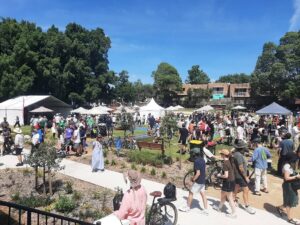
A big crowd attended the GreenWay opening ceremony on 14 Dec, 2025
![The very busy Paramatta Rd has an underpass complete with mood lighting [2026]](jpg/n05-110-parramatta-road-underpass-2026-02-300x184.jpg)
The very busy Paramatta Rd has an underpass complete with mood lighting [2026]
Do you know of a bike hire or transportation service on this rail trail that should appear here? If so, let us know at admin@railtrails.org.au.
Information and Links
The Greenway rail trail is managed by the Inner West Council.
Contact Rail Trails Australia
To contact us about this rail trail, email nsw@railtrails.org.au
Background Information
Traditional Owners
We acknowledge the Gadigal and Wangal peoples of the Sydney basin, the traditional custodians of the land and waterways on which this trail is built.
Development of the Greenway trail
For information about Greenway supplied by Inner West Council, click here.
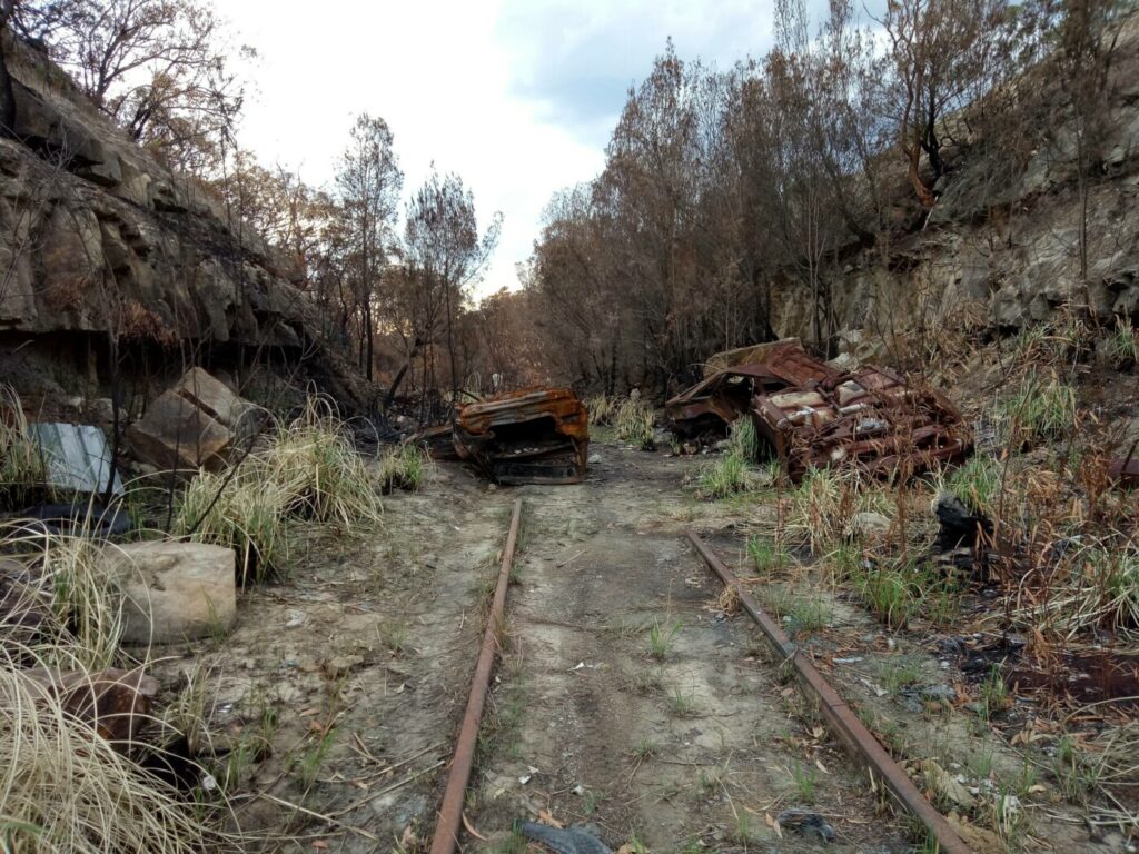
The Metropolitan Goods Lines were a series of lines designed to divert goods trains off passenger lines and avoid unnecessary delays for both forms of transport. They spread throughout the Sydney area from 1916 and played a major role in the development of the city and suburbs. Many of the lines are no longer used and have been abandoned, while others have been turned over to light rail. This article focuses on those sections of the line.
The Rozelle/Darling Harbour sections of the Metropolitan goods lines originally ran from Wardell Rd Junction to Darling Harbour passing through the suburbs of Dulwich Hill, Summer Hill, Lewisham, Haberfield, Leichhardt, Annandale, Glebe, Pyrmont as well as Darling Island, then under Pyrmont Bridge Road at Pyrmont Bridge to enter Darling Harbour and continue through to rejoin the Main line near Mortuary Station. In its heyday it was the main route for coal, wheat and other goods into and from Rozelle Goods Yard as well.
The last goods train operated on the line in 2008. Light Rail services on the L1 line began in 2014.
At the Sydney CBD end, the Goods Line is another short section of rail trail on this rail corridor.
Thousands Flock To Sydney’s GreenWay Opening
Posted: 15/12/25
Sydneysiders turned out in their thousands on Sunday 14 December 2025 to enjoy Sydney's latest rail-side trail, ...
More...Nearby Trails
Goods Line
2km from Sydney GPO
1 km


Lavender Bay “High Line”
Milsons Point to Waverton

Meadowbank Railway Bridge
15 km west of Sydney
0.5 km
Pippita Rail Trail
19km west of Sydney, near Sydney Olympic Park
Como Bridge
20 km south of Sydney
2 km
Rosehill to Carlingford rail trail
Western Sydney, 23km west of CBD
5 km
Parramatta to Liverpool rail trail
Western Sydney, 25km west of CBD
16 km
Lapstone Zig Zag rail trail
Lower Blue Mountains, 60 km west of Sydney
1.5 km
Mt Kembla Memorial Pathway rail trail
Illawarra region, 100km south of Sydney
2 km
Box Vale Tk rail trail
Southern Highlands, 110km south-west of Sydney
4 km
Awaba – Wangi Wangi Rail Trail
130 km north of Sydney
Wolgan Valley Rail Trail
Wolgan Valley, 190km west of Sydney
11 km
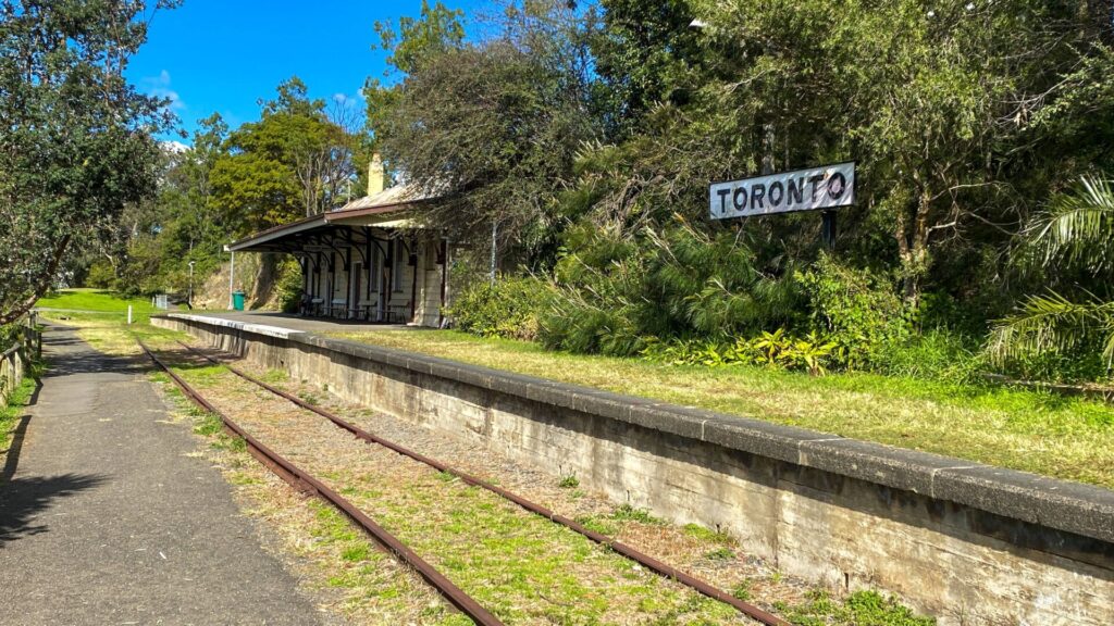
Fassifern to Toronto Greenway rail trail
Lower Hunter, 26km south-west of Newcastle CBD
4 km
Fernleigh Track rail trail
Lower Hunter, 5km south of Newcastle CBD
16 km
Wallsend tramway rail trail
Lower Hunter, 13km west of Newcastle CBD
9 km
Richmond Vale Rail Trail
160 km north of Sydney, 12 km northwest of Newcastle
Nearby Trails
Goods Line
2km from Sydney GPO
1 km
Lavender Bay “High Line”
Milsons Point to Waverton
Meadowbank Railway Bridge
15 km west of Sydney
0.5 km
Pippita Rail Trail
19km west of Sydney, near Sydney Olympic Park
Como Bridge
20 km south of Sydney
2 km
Rosehill to Carlingford rail trail
Western Sydney, 23km west of CBD
5 km
Parramatta to Liverpool rail trail
Western Sydney, 25km west of CBD
16 km
Lapstone Zig Zag rail trail
Lower Blue Mountains, 60 km west of Sydney
1.5 km
Mt Kembla Memorial Pathway rail trail
Illawarra region, 100km south of Sydney
2 km
Box Vale Tk rail trail
Southern Highlands, 110km south-west of Sydney
4 km
Awaba – Wangi Wangi Rail Trail
130 km north of Sydney
Wolgan Valley Rail Trail
Wolgan Valley, 190km west of Sydney
11 km
Fassifern to Toronto Greenway rail trail
Lower Hunter, 26km south-west of Newcastle CBD
4 km
Fernleigh Track rail trail
Lower Hunter, 5km south of Newcastle CBD
16 km
Wallsend tramway rail trail
Lower Hunter, 13km west of Newcastle CBD
9 km
Richmond Vale Rail Trail
160 km north of Sydney, 12 km northwest of Newcastle
One review of “Cooks to Cove Greenway”
I attended the opening of the GreenWay in Johnson Park on 14Dec25, along with thousands of others. Sydney has definitely given this new rail-side trail the thumbs-up! It has been a long time in development but well worth the wait. Highly recommended, and suitable for the whole family.