 Location:
 Length:
 Surface:
 Start / End:
 Suitable for:
- A high quality rail trail featuring a variety of landscapes from suburbia to bushland
- Easy access from the regular trains on the Central Coast and Newcastle Line
- Gently graded: a comfortably flat ride or walk with bay views
Nearby Attractions
- Newcastle, with Fort Scratchley and beaches
- Lake Macquarie, with its lakeside cycle paths
- Museum of Art and Culture
- Fernleigh Track rail trail
- Glendale to Lambton rail trail
Last updated: 5 January 2026
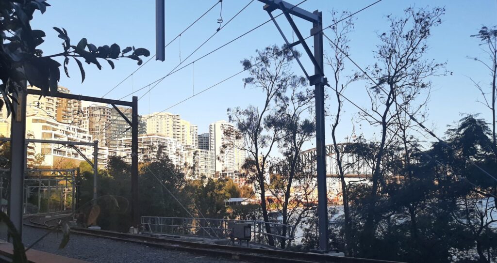
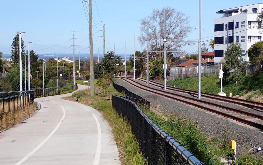
This is a short rail trail next to a disused government branch line. It left the Central Coast and Newcastle Line at Fassifern Railway Station and has not been used since 1990. The asphalt surface is good but deteriorates near Toronto. Along the way there are views of Fennell Bay through the trees before the full vista of Lake Macquarie at the end.
Fassifern is a small village with few amenities apart from the railway station and a school.
Section Guides
Fassifern to Toronto (4km)
- Access: Fassifern Railway Station (Search: ‘Tucker Close, Fassifern’) has amenities but no kiosk. If you are driving there, the car park does tend to fill up with commuters
- The trail starts through the station gates, to the left of the old platform for the Toronto service, which you ride behind
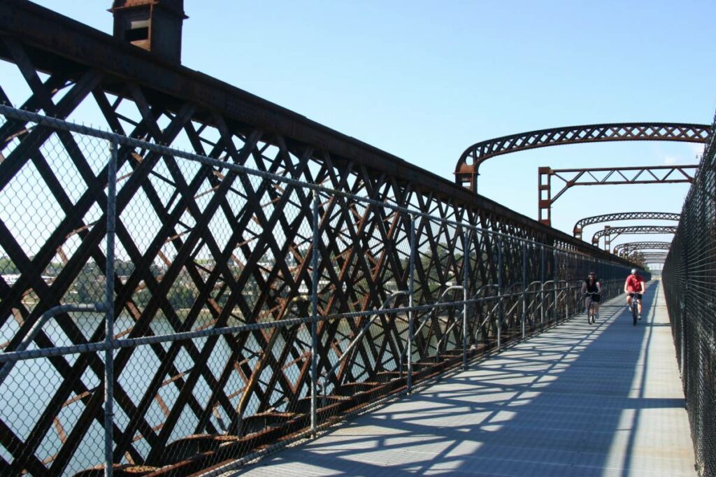
- Watch for on-coming cyclists on the narrow bridges and for the increasing bumps after halfway
- At Blackalls Park there are toilets, car parking and a limited range of shops
- The trail is well signposted but watch the road crossings
- Toronto is a big town with a large retired population. There’s a good range of accommodation and dining options
- The railway station is home to the Lake Macquarie and District Historical Society, who have a pretty good view from the platform.
![The start at Fassifern Station with the main line in the background [2024]](jpg/n20-050-fassifern-station-2024-07-300x169.jpg)
The start at Fassifern Station with the main line in the background [2024]
![Heading off from Fassifern past the primitive Toronto branch line platform [2024]](jpg/n20-050-fassifern-station-2024-07-branchline-platform-and-trail-300x168.jpg)
Heading off from Fassifern past the primitive Toronto branch line platform [2024]
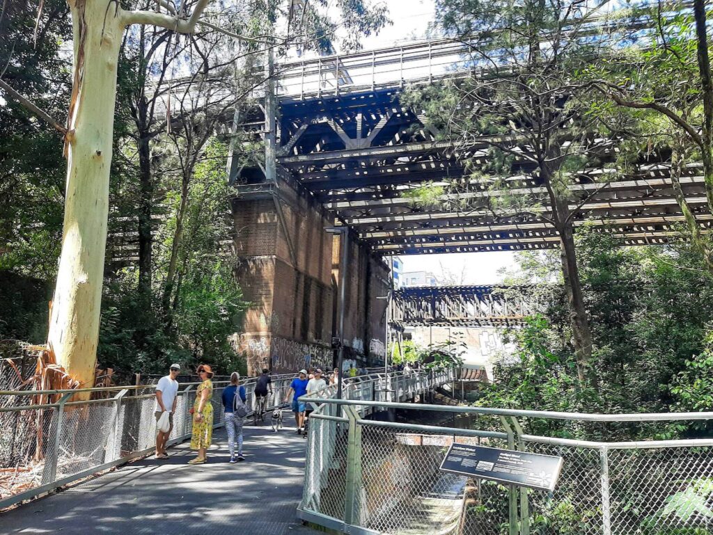
![The shared bridges are a little narrow by modern standards [2024]](jpg/n20-055-bridge-near-fassifern-is-a-little-narrow-2024-7-img_4403-300x238.jpg)
The shared bridges are a little narrow by modern standards [2024]
![The coastal scrub is regrowing in the railway corridor [2024]](jpg/n20-055-heading-away-from-fassifern-2024-07-300x169.jpg)
The coastal scrub is regrowing in the railway corridor [2024]
![The remains of the Blackalls Park Station platform [2012]](jpg/n20-100-blackalls-park-2012-p1030606-1-300x169.jpg)
The remains of the Blackalls Park Station platform [2012]
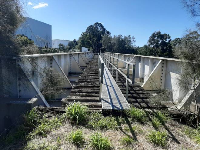
![Rail bridge over Stoney Creek is out but shared bridge gives views [2024]](jpg/n20-110-stoney-creek-2012-p1030589-1-300x169.jpg)
Rail bridge over Stoney Creek is out but shared bridge gives views [2024]
![Approaching Toronto, railside trail and railway line converge [2024]](jpg/n20-150-approaching-fassifern-trail-and-railway-line-converge-2024-07-img_4424-300x169.jpg)
Approaching Toronto, railside trail and railway line converge [2024]
![Toronto Railway Station has become home to the historical society [2024]](jpg/n20-150-toronto-station-2024-07-img_4415-300x169.jpg)
Toronto Railway Station has become home to the historical society [2024]
![There are great views from the platform of the old station [2024]](jpg/n20-150-toronto-station-2024-07-great-view-from-the-platform-4423-300x179.jpg)
There are great views from the platform of the old station [2024]
![The classic Victoria Hotel is the place to be in Toronto [2024]](jpg/n20-150-classic-victoria-hotel-is-the-place-to-be-in-toronto-2024-07-img-4418-300x169.jpg)
The classic Victoria Hotel is the place to be in Toronto [2024]
Fassifern is on a busy commuter train route from Newcastle to the Central Coast so all you need is an Opal card. There are also regular buses between Toronto and Fassifern Railway Station for those who wish to walk the trail one way.
Do you know of a bike hire or transportation service on this rail trail that should appear here? If so, let us know at admin@railtrails.org.au.
Information and Links
To report damage or problems contact Lake Macquarie City Council here
For further information, including maps, on walking and cycling trails in this area:
To advertise your rail trail support business on this page, please click here.
To contact us about this trail, Email or click here: ns*@************rg.au
Contact Rail Trails Australia
To contact us about this rail trail, email nsw@railtrails.org.au
Background Information
Traditional Owners
We acknowledge the Awabakal people, the traditional custodians of the land and waterways on which the rail trail is built.
Railway history
The railway was built by a private company in 1891 but was taken over by the NSW Government in 1910. Operations ceased in 1990; the rails are still in place, though the railway was officially closed in 1995.
The local progress association raised the greenway concept in 1990, which led to the formation of a steering committee of Lake Macquarie City Council. The corridor was leased by the Council from the State Government, and the steering committee set about raising funds for construction and landscaping of the trail. Most funding came from the Federal and State Governments, with other funding coming from Council and the community. The trail was officially opened in June 1996, after six years of local effort to retain the disused rail corridor as a community asset.
Nearby Trails
Awaba – Wangi Wangi Rail Trail
130 km north of Sydney

Fernleigh Track rail trail
Lower Hunter, 5km south of Newcastle CBD
16 km


Wallsend tramway rail trail
Lower Hunter, 13km west of Newcastle CBD
9 km
Richmond Vale Rail Trail
160 km north of Sydney, 12 km northwest of Newcastle
Lavender Bay “High Line”
Milsons Point to Waverton
Rosehill to Carlingford rail trail
Western Sydney, 23km west of CBD
5 km
Meadowbank Railway Bridge
15 km west of Sydney
0.5 km
Goods Line
2km from Sydney GPO
1 km
Cooks to Cove Greenway
Sydney
6 km
Pippita Rail Trail
19km west of Sydney, near Sydney Olympic Park
Parramatta to Liverpool rail trail
Western Sydney, 25km west of CBD
16 km
Nearby Trails
Awaba – Wangi Wangi Rail Trail
130 km north of Sydney
Fernleigh Track rail trail
Lower Hunter, 5km south of Newcastle CBD
16 km
Wallsend tramway rail trail
Lower Hunter, 13km west of Newcastle CBD
9 km
Richmond Vale Rail Trail
160 km north of Sydney, 12 km northwest of Newcastle
Lavender Bay “High Line”
Milsons Point to Waverton
Rosehill to Carlingford rail trail
Western Sydney, 23km west of CBD
5 km
Meadowbank Railway Bridge
15 km west of Sydney
0.5 km
Goods Line
2km from Sydney GPO
1 km
Cooks to Cove Greenway
Sydney
6 km
Pippita Rail Trail
19km west of Sydney, near Sydney Olympic Park
Parramatta to Liverpool rail trail
Western Sydney, 25km west of CBD
16 km
6 reviews of “Fassifern to Toronto Greenway rail trail”
Too short really, such a shame the main highway goes through the old rail line as it would be perfect for a bill gates style investment to rebuild the line and have an enthusiast puffing Billy line ( like melbournes puffing Billy). Great Lake views in a holiday location , win win for everyone. Even renovate the Toronto station to a cafe as the view location is amazing. Income income.
#40 of 70 rail trails in my 70th year. Not much change here. The surface towards Toronto has had some of the lumps ground off but it really needs to be resealed and the path extended further south. A local told me the tracks used to go beyond the station. Not as popular as the Fernleigh trail on the other side of Lake Macquarie, which I also rode today
Another of my local trails, nice short trail that follows the old train route. There are some nice glimpses of Lake Macquarie and if you know where to look, the site of the remnants of a petrified forest.
Re-rode this rail-side trail yesterday and was pleasantly surprised. There are views of the old rails and Lake Macquarie much of the way. Toronto is surely underrated, with lots of eating and shopping options and great views of the Lake. Well worth jumping off the train at Fassifern and riding or walking the trail. It’s short enough for the very young and very old, and predominantly flat. The old tracks are overgrown but the cycleway is fully sealed and not overgrown. Signage is a bit limited and there are many entrances from local streets. Just keep to the ‘main’ path with the dividing centreline and keep looking for the old rails.
Railway trail/ cycle way from Fassifern train station to Toronto old train station needs a lot of maintenance, it would be nice if Blackalls Park majority of cycle way opens up the view to the lakes edge, currently the bay is hidden by mixed tree with overgrown Lantana weed.
Would be great to include Aboriginal cultural history and awareness centre on lakes edge as it states on plaque, Aboriginal Fossil land. Needs to be preserved.
I rode this trail this morning (26/3/16) with my brother, as part of doing the three main rail trails around Newcastle. This is a short trail that while sealed the whole way is clearly just a local’s path. There is a bit of confusion near the creek crossing and towards the Fassifern end where the trail crosses the rails. There is only one real hill on the trail, and the undergrowth is beginning to cover the trail in some sections. Toronto is a beautiful place, but I won’t come back to do this trail again.