 Location:
 Length:
 Surface:
 Start / End:
 Suitable for:
This trail is near Mittagong in the NSW Southern Highlands and is best suited to walking. There's a decent tunnel after 4km and good views over the Nattai River valley at the end.

- This is a pleasant excursion on a well-marked trail suitable for moderately experienced walkers
- It gives you an insight into the effort involved in extracting and transporting coal last century
- There’s a great view of the Nattai River Valley as your reward at the end
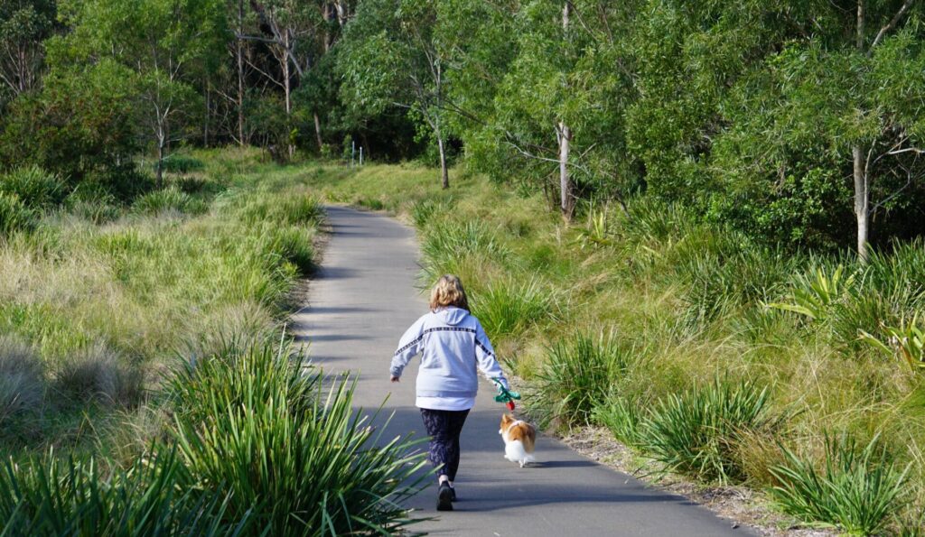
- You can bring your dog provided it is on a leash
Nearby Attractions
- The Bradman Museum, Bowral
- Nattai Creek Dam
- Forty Foot Falls
- Mittagong
- Thirlmere Rail Museum
- Southern Highlands Botanic Gardens
- Wombeyan Caves – closed indefinitely.
Last updated: 21 January 2026
The Box Vale Tk rail trail runs from near the Hume Mwy (M31) at Woodlands to the historic Box Vale Incline. The tracks and bridges are long gone, but the cuttings, embankments and 84m tunnel remain and there are great views over the Nattai River valley at the end.
The walk will take three to four hours return, depending on stops. The trail is clearly formed and has some signposts but is very rough in places. It will also be muddy after rain. It is not recommended for mountain bike riding.
Warning: Extra caution is needed in the Casuarina and Boulder railway cuttings due to unstable rock. Please read and obey warning signs, and use detours where provided.
Section Guides
Woodlands to Box Vale Incline (4km)
- Access: Coming from Sydney, turn left off the Hume Mwy at Mittagong, drive through town, bear right on the Old Hume Hwy and follow it to cross the motorway at Welby. Turn right almost immediately onto Boxvale Rd. After 100 m, bear left at a narrow entrance marked Box Vale Walking Track.
- There is car parking and picnic tables at the trailhead
- From there, the track descends along a bush path before joining the railway corridor. It then runs through bushland with some creek crossings and cuttings.
- There have been rock falls in the cuttings which have not been cleared so some clambering is required
- The Nattai River lookout with its picnic area at the end of the trail is fully accessible, and the view is excellent.
- The short, steep track down to the bottom of the incline may be closed.
- There is an intermediate access point, which is a walking track from Mittagong via the Forty Foot Falls.
![Walkers set out on the trip to the Box Vale incline [2025]](jpg/n09-050-bushwalkers-heading-out-from-the-box-vale-trailhead-2025-img_6195-300x225.jpg)
Walkers set out on the trip to the Box Vale incline [2025]
![Nattai Creek crossing near start of trail. Railway bridge is missing [2018]](jpg/6451605545282-300x225.jpg)
Nattai Creek crossing near start of trail. Railway bridge is missing [2018]
![The Casuarina Cutting has had rock falls since this photo [2018]](jpg/9201605545282-300x225.jpg)
The Casuarina Cutting has had rock falls since this photo [2018]
![Banksias are a welcome distraction along the trail [2025]](jpg/n09-060-banksias-are-a-regular-sight-on-the-trail-2025-img_6194-225x300.jpg)
Banksias are a welcome distraction along the trail [2025]
![This has been named Tree Fern Cutting for obvious reasons [2025]](jpg/n09-070-this-has-been-named-fern-cutting-for-some-reason-2025-img_6186-225x300.jpg)
This has been named Tree Fern Cutting for obvious reasons [2025]
![On the embankment built with the rock from the tunnel [2018]](jpg/9811605545282-300x225.jpg)
On the embankment built with the rock from the tunnel [2018]
![Approaching tunnel, in which you can see where the sleepers were [2018]](jpg/5601605545283-300x225.jpg)
Approaching tunnel, in which you can see where the sleepers were [2018]
![View from Nattai Gorge Lookout into the Blue Mountains [2018]](jpg/4521605545282-300x225.jpg)
View from Nattai Gorge Lookout into the Blue Mountains [2018]
There is no public transport in this area.
Do you know of a bike hire or transportation service on this rail trail that should appear here? If so, let us know at admin@railtrails.org.au.
Information and Links
For more information:
https://www.visitsouthernhighlands.com.au/operator/box-vale-walk/
The trail is managed by Wingecarribee Shire Council.
Contact Rail Trails Australia
To contact us about this rail trail, email nsw@railtrails.org.au
Background Information
Traditional owners
We acknowledge the Gundungarra people, the traditional custodians of the land and waterways on which this rail trail is built.
Rail line history
The original standard-gauge line was built in 1888 to carry coal from the Nattai Gorge for 7 km to the Main South Line at Mittagong. The trail passes through several cuttings and includes an 84 m tunnel. It ends at the incline by which coal was brought up from the gorge portal.
The colliery probably had its heyday in 1888, when 100 tons of coal a week were shipped to Melbourne during a coal strike. It closed in 1896 and the railway line was abandoned.
The Nattai Gorge end of the line was opened as a walking track, designed and financed by the Nowra Lands Office, in 1996. Construction was done by wards of the state from Toombong School, the Mount Alexandra Committee and people employed under the Community Employment Program.
The Mittagong end has disappeared under the Hume Mwy and residential developments.
Nearby Trails
Mt Kembla Memorial Pathway rail trail
Illawarra region, 100km south of Sydney
2 km


Goulburn to Crookwell Rail Trail
195km southwest of Sydney, in the Southern Tablelands

Lapstone Zig Zag rail trail
Lower Blue Mountains, 60 km west of Sydney
1.5 km
Como Bridge
20 km south of Sydney
2 km
Parramatta to Liverpool rail trail
Western Sydney, 25km west of CBD
16 km
Pippita Rail Trail
19km west of Sydney, near Sydney Olympic Park
Cooks to Cove Greenway
Sydney
6 km
Rosehill to Carlingford rail trail
Western Sydney, 23km west of CBD
5 km
Meadowbank Railway Bridge
15 km west of Sydney
0.5 km
Goods Line
2km from Sydney GPO
1 km
Lavender Bay “High Line”
Milsons Point to Waverton
Pioneer Rail Trail
Central Tablelands, 180km west of Sydney
6 km
Nearby Trails
Mt Kembla Memorial Pathway rail trail
Illawarra region, 100km south of Sydney
2 km
Goulburn to Crookwell Rail Trail
195km southwest of Sydney, in the Southern Tablelands
Lapstone Zig Zag rail trail
Lower Blue Mountains, 60 km west of Sydney
1.5 km
Como Bridge
20 km south of Sydney
2 km
Parramatta to Liverpool rail trail
Western Sydney, 25km west of CBD
16 km
Pippita Rail Trail
19km west of Sydney, near Sydney Olympic Park
Cooks to Cove Greenway
Sydney
6 km
Rosehill to Carlingford rail trail
Western Sydney, 23km west of CBD
5 km
Meadowbank Railway Bridge
15 km west of Sydney
0.5 km
Goods Line
2km from Sydney GPO
1 km
Lavender Bay “High Line”
Milsons Point to Waverton
Pioneer Rail Trail
Central Tablelands, 180km west of Sydney
6 km
4 reviews of “Box Vale Tk rail trail”
37/70 Amazing amount of work went into building this railway to extract some high quality coal. The trail is only suitable for bushwalkers who don't mind getting their feet wet. Bit of a shame really, hard to believe it was built for standard gauge trains, it's so overgrown. Glad I didn't unload the bike.
I walked this trail on 12 January 2025 – the trail is definitely open all the way to the picnic tables and the Nattai lookout. I found a few muddy patches after recent rain but overall it is still an excellent walk with plenty of scenery (including kangaroos this time) and is highly recommended. There is good car park space at the trail head, and my drive from Sydney took about 90 minutes.
We walked on this rail trail in early October 2020. It makes a great bushwalk, with changing scenery, the tunnel and the Nattai lookout at the Incline. The path is easy to follow. Plenty of carparking is available at the trailhead.
I was on this trail this morning (Wednesday 11th 2015) – firstly it is walking trail for hikers. You can mountain bike it – but the first section to actually get to the tramway is not suited to anyone who isn’t an excellent mountain bike rider with a lot of experience. The trail is actually one of the most interesting rail trails I have been on, because of the cuttings and tunnel you pass through – so far none of the other trails I have done come close to depth of the cuttings and the tunnel. The view at the end is reasonable, but the trail is almost over grown in parts and sometimes it is difficult to distinguish the overgrown trail from the dirt roads where they cross. If you go early morning before anyone else, watch out for spider webs.