 Location:
 Length:
 Surface:
 Start / End:
 Suitable for:
- See remnants of a trestle bridge just south of Mooloolah on western side of closed road
- The forest was heavily logged, but the national park retains the species typical of this sandstone area
- The tunnel has a beautiful, low reverberation pitch.
Nearby Attractions
- Numerous walking tracks
- Ewen Maddock Dam
- Sunshine Coast
- Maroochy Regional Bushland Botanical Gardens
- The Big Pineapple
Last updated: 19 September 2025
This short rail trail shadows the main Brisbane-Cairns railway line between Landsborough and Mooloolah in a remnant forest area, the Dularcha National Park. It incorporates some of an alignment abandoned in 1931 when a flatter route was opened. It includes a 100 m tunnel constructed in 1890 to cut through the highest section.
Access: The start of the trail is at the end of Cunningham Ave, Landsborough, where there is limited parking. It can be reached on foot from Landsborough Station.
From Cunningham Ave, there’s a short path heading east to reach the railside trail section along the active line, most of which is securely fenced.
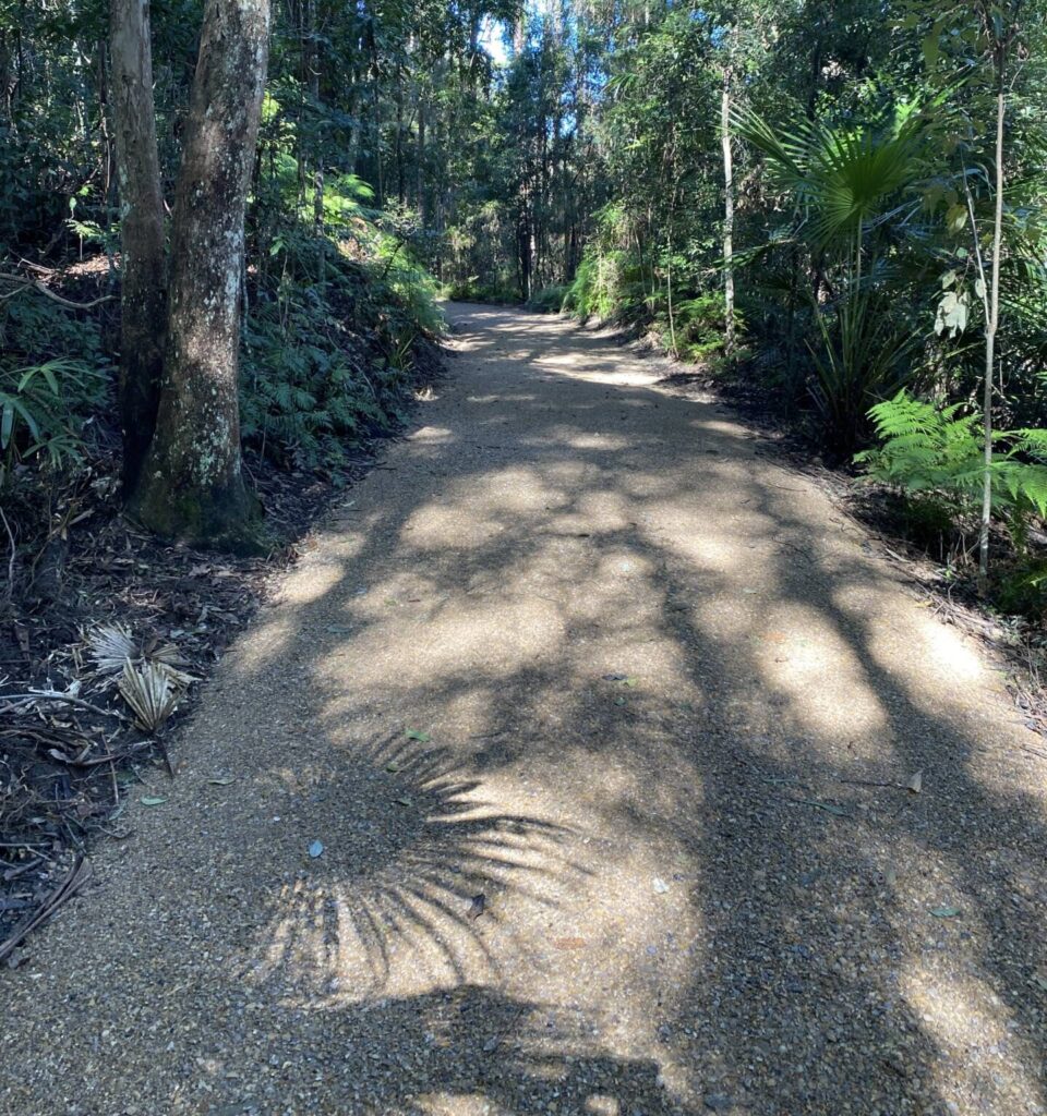
The 1 km railside section is rough but the trail smoothes out when you reach the old railway alignment. The concrete-lined tunnel is reached after 2 km.
At the northern end, access by car is via King Rd and Dorson St because the old timber bridge over South Mooloolah River is now a shared path. Pedestrians and cyclists coming from Mooloolah Station can take this more direct route via Jones St, Paget St and South Paget St. There’s an information shelter at the trailhead for the national park, and a small parking area.
![Trail is rougher at Landsborough end, near the present railway line [2025]](jpg/q08-060-trail-diverges-from-rail-corridor-at-landsborough-end-and-is-rather-rough-2025-img_6599-225x300.jpg)
Trail is rougher at Landsborough end, near the present railway line [2025]
![Tunnel floor is surprisingly smooth despite underground services [2007]](jpg/q08-056-dularcha-2007-09-2963-300x200.jpg)
Tunnel floor is surprisingly smooth despite underground services [2007]
![Horse riders have an alternative route over the ridge [2025]](jpg/q08-090-heading-south-from-the-tunnel-where-theres-a-track-for-horses-to-go-over-the-top-2025-img_6596-1-300x169.jpg)
Horse riders have an alternative route over the ridge [2025]
![Northern trailhead off South Page St offers some shelter if it rains [2025]](jpg/q08-100-mooloolah-trailhead-at-dularcha-national-park-offers-some-shelter-and-provides-for-horses-2025-img_6602-300x225.jpg)
Northern trailhead off South Page St offers some shelter if it rains [2025]
![Leaving the northern end of the trail before crossing the former road bridge [2025]](jpg/q08-100-walkers-and-cyclists-can-use-south-paget-st-to-get-from-mooloolah-station-2025-img_6609-300x253.jpg)
Leaving the northern end of the trail before crossing the former road bridge [2025]
![Mooloolah Railway Station is ready for your train trip home [2007]](jpg/q08-106-dularcha-2007-09-2956-300x200.jpg)
Mooloolah Railway Station is ready for your train trip home [2007]
Do you know of a bike hire or transportation service on this rail trail that should appear here? If so, let us know at admin@railtrails.org.au.
Information and Links
The trail is managed by the Queensland Government Department of National Parks, Recreation, Sports and Racing
Queensland Government Department of National Parks, Recreation, Sports and Racing
Report any issues via the above website or through Ph 13 QGOV (13 74 68).
There are no toilets or water along this trail.
This route is well suited to use of the train to travel from one end to the other before undertaking the walk back to the station of your choice (Landsborough or Mooloolah Stations).
Schedules for the City train and Railbus services can be obtained from TRANSLINK, phone 131230 or website www.tranlink.com.au
To advertise your rail trail support business on this page, please click here
To contact us about this trail, email or click here ql*@************rg.au
July 2013
Contact Rail Trails Australia
To contact us about this rail trail, email qld@railtrails.org.au
Enjoy a Guided walk along the Dularcha National Park Rail Trail (QLD)
Posted: 13/10/14
The Glasshouse Country Festival on again, Saturday 25 October . So why not Join the "Mooloolah Mob" ...
More...Glasshouse Country Festival
Posted: 02/10/13
Come out for a day in the country and vist the many events wihich are ...
More...Nearby Trails
Buderim Heritage Tramway Trail
Sunshine Coast, 100 km north of Brisbane
2 km

Caboolture – Wamuran & Loop Rail Trail
Moreton Bay, 47 km north of Brisbane
10.5 km


Mary Valley Rail Trail
Mary Valley region, 158 km north of Brisbane (via Caboolture)
5 km

Ferny Grove Rail Trail
Samford Valley, 16km north-west of Brisbane
11 km
Brisbane Valley Rail Trail
Ipswich, 46km south-west of Brisbane
161 km
Brassall Bikeway rail trail
Ipswich, 41 km west of Brisbane
3.5 km
Kilkivan – Kingaroy Rail Trail
225km north-west of Brisbane
89 km
Bethania to Beaudesert Rail Trail
City of Logan, 40 km from Brisbane
3.5 km
Nearby Trails
Buderim Heritage Tramway Trail
Sunshine Coast, 100 km north of Brisbane
2 km
Caboolture – Wamuran & Loop Rail Trail
Moreton Bay, 47 km north of Brisbane
10.5 km
Mary Valley Rail Trail
Mary Valley region, 158 km north of Brisbane (via Caboolture)
5 km
Ferny Grove Rail Trail
Samford Valley, 16km north-west of Brisbane
11 km
Brisbane Valley Rail Trail
Ipswich, 46km south-west of Brisbane
161 km
Brassall Bikeway rail trail
Ipswich, 41 km west of Brisbane
3.5 km
Kilkivan – Kingaroy Rail Trail
225km north-west of Brisbane
89 km
Bethania to Beaudesert Rail Trail
City of Logan, 40 km from Brisbane
3.5 km
2 reviews of “Dularcha National Park Rail Trail”
53/70 I walked south from the Mooloolah end which might be a bit steeper but gets you to the tunnel more quickly. It's quite close to the station if you use the closed road bridge on South Paget St. Tunnel floor is surprisingly smooth but the trail gets a bit more rocky towards Landsborough.
We tried to access the trail from the end of Rose Road. Where the road ends, there is a multi-user trailhead marker to the right of the road, but the track is very overgrown and I think it would be quite steep to access from here.