 Location:
 Length:
 Surface:
 Start / End:
 Suitable for:
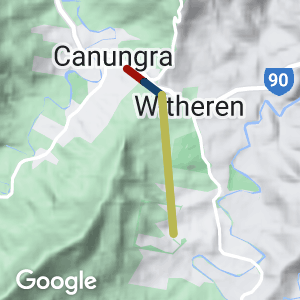
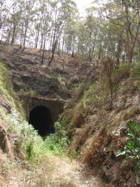
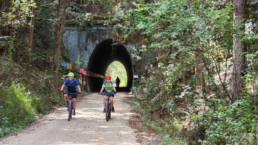
This short rail trail runs through a 90m long rail tunnel near the small town of Canungra.
The tunnel can be accessed from a signed parking area off Beaudesert Nerang Road. From there a path leads down to the tunnel and a small picnic area. A trail can be followed for 500m north of the tunnel to the end of Duncan Street, which leads into Canungra.
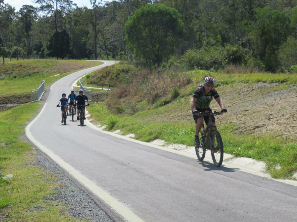
A roughly formed trail follows the tramway formation south of the tunnel for an unknown distance. We followed it for about 200m to a creek where a bridge would once have been. If you have further information please let us know.
Nearby Attractions
- 90 metre tunnel. The tunnel has been fenced off (2016) You can walk a little way into the Tunnel to see how it was constructed by hand
- Parking nearby.
Last updated: 23 November 2022
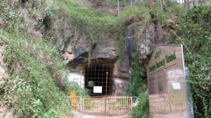
Entrance to tunnel has been blocked off (2011)
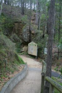
The approach to the tunnel entrance (2007)
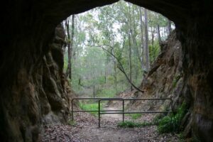
Other entrance (2007)
Do you know of a bike hire or transportation service on this rail trail that should appear here? If so, let us know at admin@railtrails.org.au.
Information and Links
The trail is managed by the Scenic Rim Regional Council
Please report all issues with the trail to the council.
Contact Rail Trails Australia
To contact us about this rail trail, email qld@railtrails.org.au
Background Information
The tunnel was constructed in 1900 by the Lahey brothers as part of a tramway to transport timber from the valleys to the south to their mill in Canungra. The Darlington Range through which the tunnel passes was a considerable obstacle for the line. Even with the tunnel, the line still climbed on an incredibly steep 1 in 12.5 grade out of Canungra. To tackle these grades, Laheys used Climax and Shay geared locomotives. South of Canungra today you will find Shay Drive and Climax Place. The descent into Canungra with a load of logs must have been nerve racking from the loco crew, and as a precaution, a runaway siding was constructed part way down.
Initially timber from Canungra was transported by road, but after much lobbying, a government railway opened to the town in 1915.
By the 1920 most the timber had been exhausted. Occasional trains continued to run until around 1930 and the line closed in 1935.
Nearby Trails
South Coast Rail Trail and Ernest Junction Tunnel
60 km from Brisbane
0.75 km

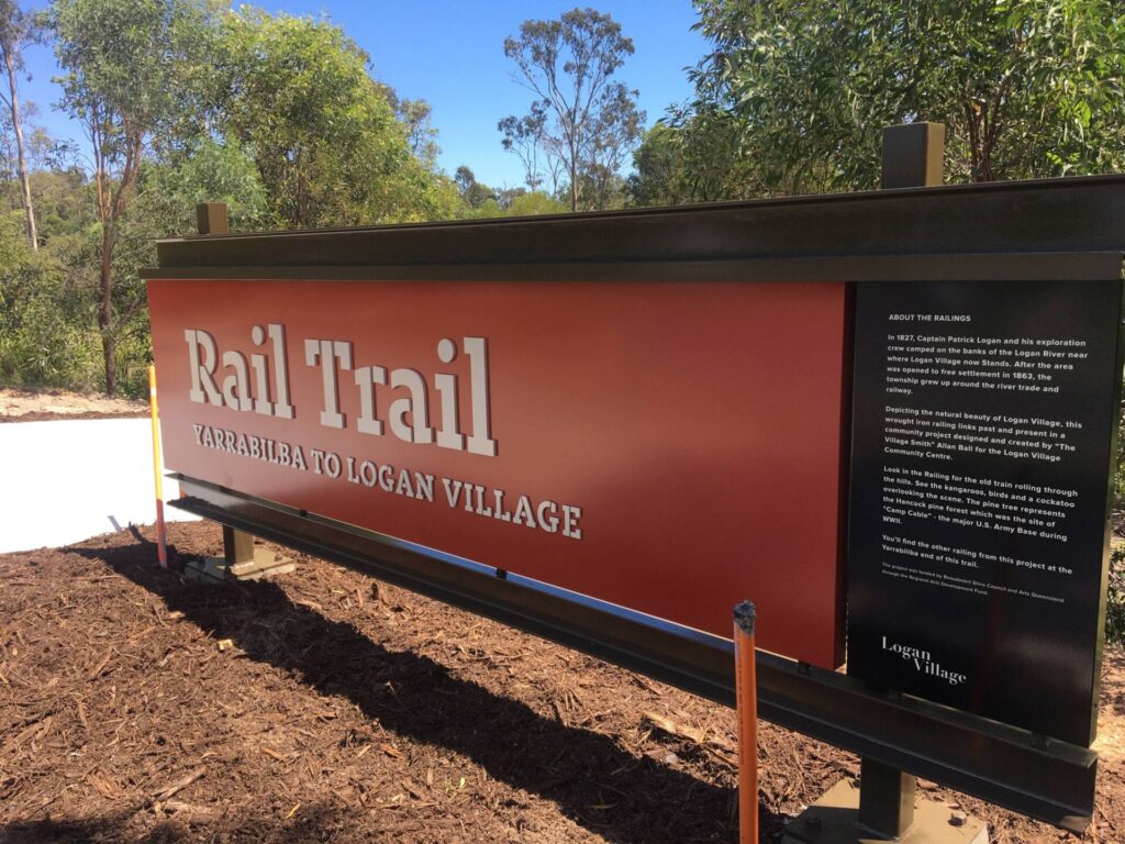
Bethania to Beaudesert Rail Trail
City of Logan, 40 km from Brisbane
3.5 km


Fassifern Valley Rail Trail
Scenic Rim, 90km south-east of Brisbane
2.6 km

Brassall Bikeway rail trail
Ipswich, 41 km west of Brisbane
3.5 km
Northern Rivers Rail Trail
Northern Rivers, 700km north-east of Sydney
53 km
Ferny Grove Rail Trail
Samford Valley, 16km north-west of Brisbane
11 km
Caboolture – Wamuran & Loop Rail Trail
Moreton Bay, 47 km north of Brisbane
10.5 km
Nearby Trails
South Coast Rail Trail and Ernest Junction Tunnel
60 km from Brisbane
0.75 km
Bethania to Beaudesert Rail Trail
City of Logan, 40 km from Brisbane
3.5 km
Fassifern Valley Rail Trail
Scenic Rim, 90km south-east of Brisbane
2.6 km
Brassall Bikeway rail trail
Ipswich, 41 km west of Brisbane
3.5 km
Northern Rivers Rail Trail
Northern Rivers, 700km north-east of Sydney
53 km
Ferny Grove Rail Trail
Samford Valley, 16km north-west of Brisbane
11 km
Caboolture – Wamuran & Loop Rail Trail
Moreton Bay, 47 km north of Brisbane
10.5 km
One review of “Canungra Tramway Tunnel”
Hello
I visited the Canungra Tramway Tunnel on the 6th of February 2026
There is a small carpark (probably about 5 car spots) opposite the Rural Fire Brigade Station and at the intersection of Darlington Range Road
There is a Brown Sign which says "Laheys Canungra Tramway Tunnel"
Google Maps marks the Tunnel as "Lahey Tunnel"
The tunnel is still blocked off but there is a newer updated galvanised protective cage there now so you can walk right up to the entrance and see the man made tunnel
The picnic table shelter and signage boards are close to the entrance
I also walked the old trail up to Duncan Street and return
There is no signage at the Duncan Street end
Thanks to the volunteers
Cheers,
Marty