 Location:
 Length:
 Surface:
 Start / End:
 Suitable for:
The remnants of a once busy railway line, you'll enjoy the 2.6km Fassifern Rail Trail for the views more than the ride

- It’s a great place to stay if you are exploring the Scenic Rim
- Boonah is a popular getaway for Brisbanites, and accommodation includes luxury B&Bs, farm stays, holiday parks, country hotels and motels
- There are numerous walks, lookouts, drives and wineries
Nearby Attractions
- Mt Carmel Lookout
- Clydebuilt Horse
- Mt Barney National Park
- Mount Cordeaux Track in Main Range National Park
- Moogerah Peaks National Park comprising Mt French, Mt Greville, Mt Edwards and Mt Moon
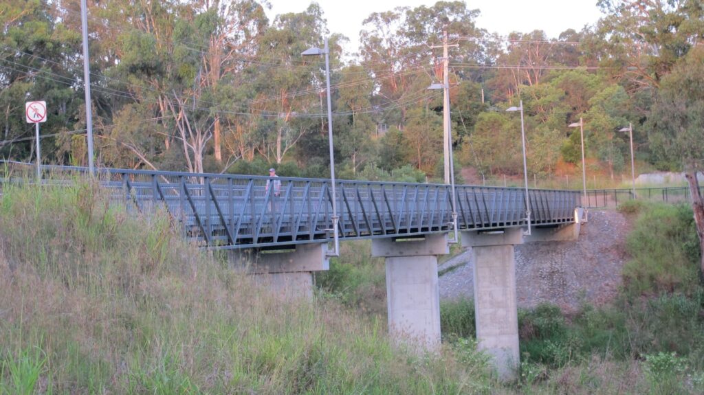
- Bethania to Beaudesert Rail Trail
Last updated: 21 January 2026
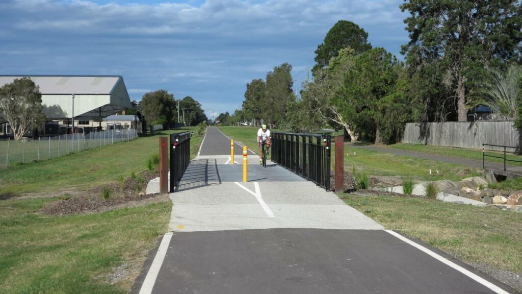
This was once a very busy area with a large sawmill and major butter factory surrounded by market gardens worthy of a railway line from Ipswich. The rail trail is just a small taste of what is hoped to be a 74km trail from there.
The current sections are:
- Boonah-Hoya (2km): After an awkward approach, this grassed section runs past a historic church cemetery and through a moderate cutting up to Hoya, from where you can ride back or take a connecting route back to town on quiet roads
- Dugandan-Boonah (0.6km): Running downhill, this asphalt path is the route steam engines took to get water and load up at the timber mill.
Boonah is an attractive and busy town of about 2500 people with a surprising amount to see and do. It promotes itself as being “The Heart of the Scenic Rim”, that rim being the arc of spectacular mountains that stretch to the north-west from the NSW border towards Toowoomba. There’s plenty of cafes, caravan parks and shops to go around.
Section Guides
Boonah-Hoya (2km)
- Access: Boonah Visitor Information Centre at 20 Boonah-Fassifern Rd, where there is 18-hr free camping, toilets, picnic shelter and BBQ.
- The trail starts with a climb to a “Hollywood-style” Boonah sign that overlooks the town and information centre. This steep section of track is marked “Maintenance Access Only”. Cyclists may prefer to use Mt Carmel Rd, but that also is steep.
- From the Bicentennial Place lookout on Athol Tce, see if you can spot where the railway ran across the Salt Gully mudflats into Boonah.
- Head west via a signposted walking track and direction markers down to the rail corridor, about 150 m from Boonah-Fassifern Rd. To the south, the railway ran across Red Bridge into Boonah.
- The shared path, sometimes referred to as the Boonah Rail Trail, is mowed grass and easy to follow. A small cemetery on the left records the resting places of a number of pioneers. Alternatively, this church site can be reached using Red Bridge Rd. It provides parking and easier access to the trail.
- From halfway along, the shared path serves as a farm road, which makes for easy riding and walking to the farm gate on Pocock Rd, Hoya.
- You can head back the way you came or follow paths and roads back to town (see below)
Boonah-Dugandan (0.6km):
- Although there’s nothing left of the railway lines that ran up the main road, Yeates Ave, the corridor reappears at its southern end opposite Rotary Park as part of the Dugandan Pathway and is pedestrian friendly for 600m to Mt French Rd on the western side of Dugandan Park. This was the site of a major timber mill and was where the steam engines used to take on water. The terminus station was conveniently placed for engine drivers, close to the Dugandan Pub
CONNECTING PATH
- To get back to town from the farm gate at Hoya, turn right on the mowed path on the southern side of Pocock Rd. At the top of the hill, about 300 m from the farm gate, is a small clump of trees where there are some great views of the Scenic Rim, including Mount French to the south-west. The shared path continues down a slope and south-east for about 400 m along an unformed section of Hoya Rd and then follows the eastern footpath for about 1.4 km to Springleigh Park, the site of the Boonah markets. It then follows the footpath on the southern side of Ipswich-Boonah Rd, crossing back to the northern side of the road at the main roundabout (all up about 700m) back to the information centre.
![Dugandan was where the steam engines took on water for trip to Ipswich [2020]](jpg/1481605554463-300x225.jpg)
Dugandan was where the steam engines took on water for trip to Ipswich [2020]
![The main road looks rather different from what it did 60 years ago [2025]](jpg/q05-050-only-the-width-of-the-main-street-gives-away-boonahs-railway-history-2025-img_6666-300x225.jpg)
The main road looks rather different from what it did 60 years ago [2025]
![One of the last railmotor services arrives in 1964 [Qld Museum Railway Workshops]](jpg/q05-050-one-of-the-last-railmotor-services-arrives-at-boonah-1962-img_6660-300x159.jpg)
One of the last railmotor services arrives in 1964 [Qld Museum Railway Workshops]
![The former butter factory, with curved platform, now sells fruit and veges [2025]](jpg/q05-050-former-butter-factory-is-still-a-hive-of-activity-in-boonah-minus-railway-wagons-2025-img_6650-300x225.jpg)
The former butter factory, with curved platform, now sells fruit and veges [2025]
![It's a big climb to the Bicentennial Place lookout from Boonah [2025]](jpg/q05-050-bicentennial-place-lookout-above-moonah-2025-img_6669-300x225.jpg)
It's a big climb to the Bicentennial Place lookout from Boonah [2025]
![The Baptist graveyard near Red Bridge Rd is an easier access point to the trail [2025]](jpg/1291605554463-226x300.jpg)
The Baptist graveyard near Red Bridge Rd is an easier access point to the trail [2025]
![It might only be grass, but at least they mow the rail trail [2025]](jpg/q05-060-fassifern-rt-leaving-boonah-is-all-grass-2025-img_6646-300x248.jpg)
It might only be grass, but at least they mow the rail trail [2025]
![Northern end of the rail trail section at Pocock Rd [2020]](jpg/2081605554463-300x225.jpg)
Northern end of the rail trail section at Pocock Rd [2020]
![A sample of the view from Pocock Rd on the connecting path to information centre [2020]](jpg/9691605554463-300x200.jpg)
A sample of the view from Pocock Rd on the connecting path to information centre [2020]
Do you know of a bike hire or transportation service on this rail trail that should appear here? If so, let us know at admin@railtrails.org.au.
Information and Links
Scenic Rim Tourism here
Scenic Rim Regional Council walks here
To advertise your rail trail support business on this page, please click here.
To contact us about this trail, email or click here ql*@************rg.au
Contact Rail Trails Australia
To contact us about this rail trail, email qld@railtrails.org.au
Background Information
Traditional owners
We acknowledge the Bundjalung people, the traditional custodians of the land and waterways on which the trail is built.
Development and future
The Fassifern Rail Trail was named after the Fassifern Valley and was one of the shared paths that were to be constructed under the South-East Queensland Active Trails Strategy. It was to be part of 76 km Boonah to Ipswich Trail, but work on that was suspended in 2012.
Eventually the Boonah to Ipswich Trail could pass through extensive, rugged and scenic landscapes including Flinders Peak, ridges forming the watershed between Purga Creek, Teviot Brook, Logan River and Bundamba and Deebing Creeks. It is supposed to traverse Wyaralong Dam on Teviot Brook. High points along the trail have views south and west to the Scenic Rim, east to the greater Brisbane area and Moreton Bay and north to the D’Aguilar Range. The trail was planned to support major urban developments catering for expected population growth in South-East Queensland planned for new cities known as Ripley, Flagstone and Springfield.
The Fassifern Rail Trail, also known as the Boonah Rail Trail, uses a section of the railway line on the outskirts of Boonah.
Rail Line History
The railway was known as the Dugandan Line and linked the timber mill, butter factory and local vegetable growers with Ipswich about 50 km to the north. It was reported to be the first branch line in Queensland. The section to Harrisville opened in 1882 and the line reached Dugandan in 1887. It was closed in 1964.
Evidence of the railway between Boonah and Ipswich can still be seen in various locations along the former route, especially in villages such as Harrisville and Peak Crossing.
Nearby Trails
Brassall Bikeway rail trail
Ipswich, 41 km west of Brisbane
3.5 km


Bethania to Beaudesert Rail Trail
City of Logan, 40 km from Brisbane
3.5 km

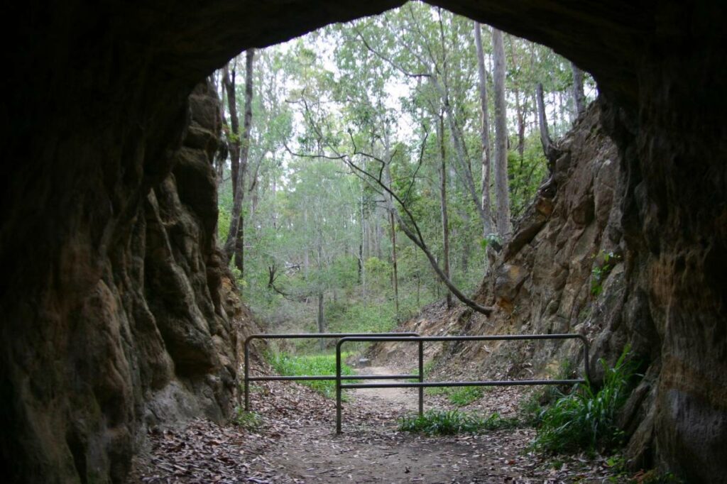
Canungra Tramway Tunnel
Canungra, south of Brisbane, 80km from Brisbane
1 km
Ferny Grove Rail Trail
Samford Valley, 16km north-west of Brisbane
11 km

South Coast Rail Trail and Ernest Junction Tunnel
60 km from Brisbane
0.75 km
Westbrook to Wyreema Rail Trail
Toowoomba

Brisbane Valley Rail Trail
Ipswich, 46km south-west of Brisbane
161 km
Northern Rivers Rail Trail
Northern Rivers, 700km north-east of Sydney
53 km
Caboolture – Wamuran & Loop Rail Trail
Moreton Bay, 47 km north of Brisbane
10.5 km
Nearby Trails
Brassall Bikeway rail trail
Ipswich, 41 km west of Brisbane
3.5 km
Bethania to Beaudesert Rail Trail
City of Logan, 40 km from Brisbane
3.5 km
Canungra Tramway Tunnel
Canungra, south of Brisbane, 80km from Brisbane
1 km
Ferny Grove Rail Trail
Samford Valley, 16km north-west of Brisbane
11 km
South Coast Rail Trail and Ernest Junction Tunnel
60 km from Brisbane
0.75 km
Westbrook to Wyreema Rail Trail
Toowoomba
Brisbane Valley Rail Trail
Ipswich, 46km south-west of Brisbane
161 km
Northern Rivers Rail Trail
Northern Rivers, 700km north-east of Sydney
53 km
Caboolture – Wamuran & Loop Rail Trail
Moreton Bay, 47 km north of Brisbane
10.5 km
3 reviews of “Fassifern Valley Rail Trail”
Hello,
I rode the Fassifern Valley Rail Trail on the 5th of February, 2026
I actually drove around first, from the Information Centre, to get my bearings and see which was the best start point for me
I must point out that the Map(above) and Google Maps are a bit ambiguous as to whether the Trail actually enters or connects to Red Bridge Road or the Boonah-Fassifern Rd.
I can tell you now that it does not (unless you go through private property) and goes up a steep climb to join Athol Terrace to go past the Bicentennial Place Lookout (the Boonah Sign).
So not knowing the above I chose the following loop;
I rode from my accomodation and up Hoya Rd and onto Pocock Rd to the Hoya Trail Head (there are some hills).
The Pocock Rd Gate is as described although the sign could do with renewing
Thank you to the people who slash the trail as this makes it rideable with a good surface of grass or compacted gravel
A couple of markers at the gates near the cemetery would be great
Cheers, Marty
56/70 What a shame this one got put in the too-hard basket. The approach from the Boonah information centre is poor and the grass surface is hard going until you get to the section the farm vehicles use. The "Dugandan Pathway" section to the south is more like it but there's not even a decent shared path along super-wide Yeates Ave along which the train used to run from the butter factory. Not even past the school. The Boonah-Ipswich Trail project will be interesting but much more lumpy than a rail trail. Nice town
A branch railway line used to terminate here and so a short 2 kilometre rail trail exists north of town. Along with an even shorter paved section just south of town
The Fassifern Rail Trail starts near the lookout above town, which allows a view of where the railway line went into town, which is now through a paddock. All that is left of where the station was in town, is a rail buffer with a plaque.
The actual rail formation is down a steep track and it's not the best surface as it’s overgrown with grass.
Near the end of the trail the surface is a little better due to farm vehicles using the rail formation.